Category: Arizona

  • San Xavier del Bac Mission

    San Xavier del Bac Mission

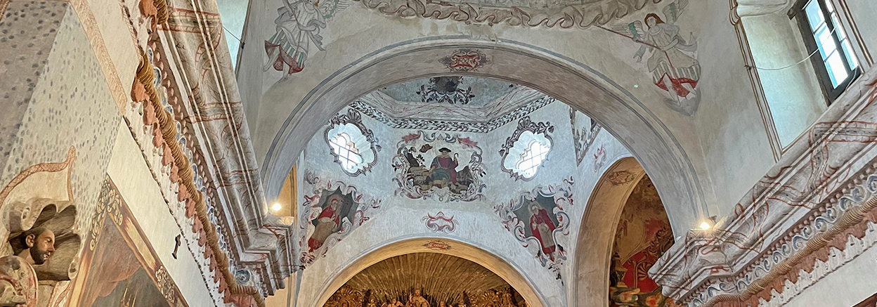
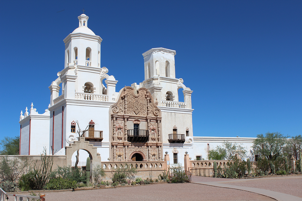
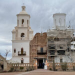
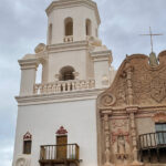
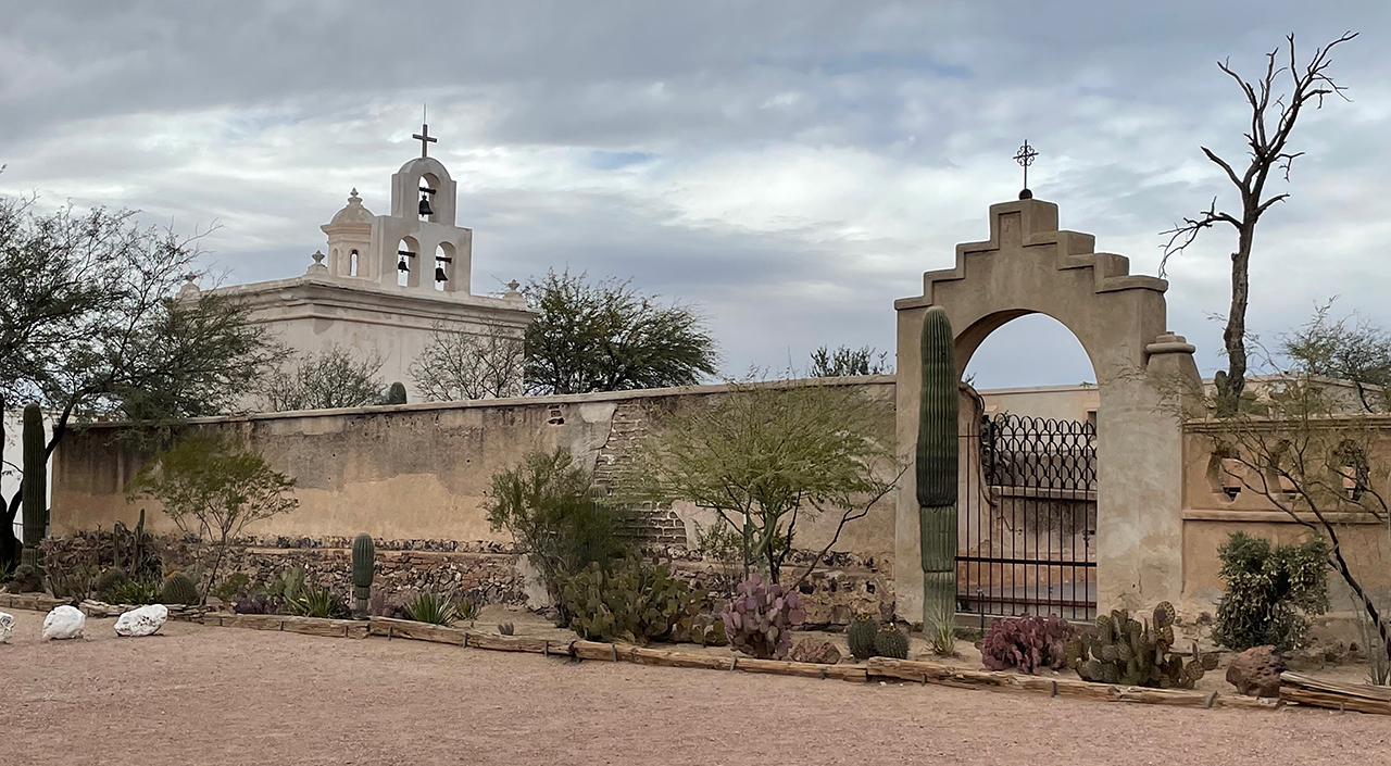
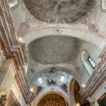
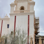
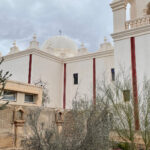
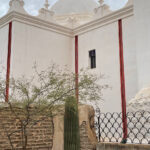
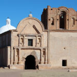
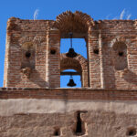
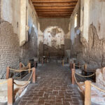
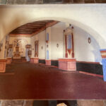
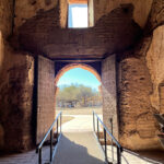
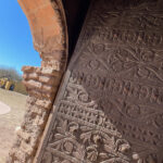
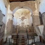
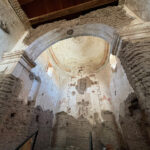
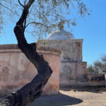
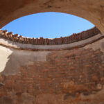
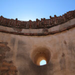
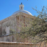
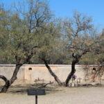
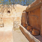
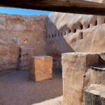
    Sometimes cloudy days are a bummer, but today’s grey clouds provided an ominous – almost spooky feel to my photos, and added more interest to a place I have visited many times. More construction was underway and ropes kept us out of some sections of the interior. With scaffolding obscuring a portion of the exterior, I’m glad I could go into my archives for an un-shrouded shot.

    Click on the first photo in each group and scroll to see the square photos at full size.
    To start at the beginning of this series, visit So Long Snow 2022.


    The ABC’s of Arizona

    When sharing our visits on this road trip, I can’t help think about our Grand European River Cruise in 2018. There we learned about the ABC’s of a visit to Europe. Cathedrals and Castles made up a majority of our tours because they were historic, interesting, and just plain awesome! Some folks may tire of the subject matter, especially if churches are not their thing – but the architecture, the artwork and the history are some of the things we seek out on our road trips. So bear with me, and visit “Another Bloody Church”!

    Padre Misionero Francisco Eusebio Kino

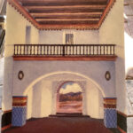
    San Xavier del Bac was founded as a Catholic mission by Padre Kino in 1692, when Southern Arizona was part of New Spain. In 1700 Father Kino began foundations on a church, but he died in 1711 before it was built. The smaller church (photos above) was finished in 1756.

    In 1767 the Jesuits are expelled from New Spain (as well as every other Catholic nation) and a year later Spanish Franciscans took over the Mission. They are responsible for construction of the larger church in the photos below that was built between 1783 and 1797.

    “Dubbed the “white dove in the desert,” visitors come from near and far to see the ornate and detailed artwork, to learn about the history, and to admire the careful preservation.” ~ READ MORE (for a gorgeous panoramic view)

    An Indelible Mark on the History of the Americas

    Although Father Kino wasn’t around during the building or later years of this mission, his story is a powerful one and I’d like to share just a part of it. He was a Jesuit and one of the early Spanish explorers of the deserts of the American Southwest. He founded 21 missions in the area including Tumacacori, which we visited on our way to Tucson (see The Wild West).

    “On March 13, 1687, Padre Kino set out on his life’s greatest adventure – the evangelization of the Pimería Alta people in the modern borderlands of Sonora and Arizona. Although other Jesuits had been in contact with these native people for more than 40 years, very little progress had been made in evangelizing or connecting. Padre Kino bridged cultural borders and was welcomed by the desert-sharing O’odham people to their homes in the Pimeria Alta…

    He was, at the same time, a man of God and a defender of the native people, urging peace among the warring tribes. Padre Kino concentrated not only on their spiritual conversion but also on their economic, social, and civil development. He envisioned a land of plenty that could be sustained by hard work, planning, and the gifts of God’s nature.

    Kino was a pioneer-explorer, historiographer, cartographer, cowboy, rancher, and peacemaker. He taught the tribes how to cultivate fruits and vegetables unknown in those lands; he introduced cattle breeding, carpentry, and iron working.

    Padre Kino took on a truly gigantic enterprise, whose fruits were souls led to God, a new life for the desert, and a distinguished recognition of the dignity and worth of native people. His tireless efforts spanned over 24 years, until his death on March 15, 1711, in the village of Magdalena, Sonora.

    He died as he had lived: “in peace and poverty on the edge of something even greater.” Moved by love and compassion, Padre Kino left an indelible mark on the history of the Americas.” ~ READ MORE

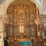
    “This beautiful Franciscan mission is open to the public daily – except during church services – and offers a free tour. The design of the sanctuary resembles a cross and at least three different artists painted the artwork inside depicting prominent people and events from the bible. Considered by many to be the finest example of Spanish mission architecture in the U.S., the mission was declared a National Historic Landmark in 1960.”~ From The Natural Beauty of Arizona

    For a 360° view of the interior and its cross design visit GoogleMaps.

    “The oldest intact European structure in Arizona, the church’s interior is filled with marvelous original statuary and mural paintings. It is a place where visitors can truly step back in time and enter an authentic 18th Century space. The church retains its original purpose of ministering to the religious needs of its parishioners.” ~ READ MORE

    An Oasis in the Desert

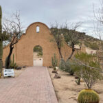
    We were able to enter the smaller chapel, where candles could be lit for loved ones (or a country) who may need a prayer. Many statues were in and around the beautiful blue niche and there was room to kneel and pray should you so desire. A beautiful courtyard between the churches contained some desert landscaping, memorials, photos and great views of the exterior of the larger church and the dark skies.

    Grotto Hill

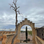
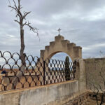
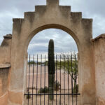
    We were able to explore a courtyard to the right of the larger church, which contained a little color and more desert landscaping. Just beyond our reach today was Grotto Hill, located just to the east of the Mission on the Tohono O’odham Nation. Grotto Hill is named for a small religious shrine tucked into the rocks and also known for the white cross on its peak. Your gifts for winding around the hill on this easy, quarter-mile trail are a great overview of the grounds, big vistas, and 360° views of the Santa Catalinas, the Rincons, the Santa Ritas and the Tucson Mountains. It was closed today, but note to Jim: next time!

    Another Fantastic Day

    You may not be into churches, but this one deserves a look!

    Next up: In Search of Owls

    Happy trails,
    Barb
  • How About a Nice Game of Chess?

    How About a Nice Game of Chess?

    If you’re a fan of the 1983 movie “War Games,” you’ll understand the title of this post. If not, put down your laptop, watch that movie, and come back prepared for our next tour. If you’d rather read an excellent summary of what the Titan Missile Museum is all about (and watch the movie later), read on.

    Click on the first photo in each group and scroll to see the square photos at full size.
    To start at the beginning of this series, visit So Long Snow 2022.


    Providing a Deterrent to Nuclear War

    Located in Green Valley, AZ, the Titan Missile Museum was only about half an hour from our hotel in Tucson. When I visited with my brothers several years ago, I knew that if Jim and I were ever in this neck of the woods again, we would have to stop. I apologize if this is one of my more stumbling posts. Military stuff is in Jim’s wheelhouse, not mine.

    The end of World War II brought with it the development of nuclear weapons and ballistic missiles. “Once both sides had the ability to exterminate not only each other, but the entire human race, a direct conflict between the two became virtually unthinkable.” ~ READ MORE (left)

    The US and the USSR came close to a confrontation only once – during the Cuban Missile Crisis in October of 1962. Luckily this tense, 13-day political and military standoff came to a peaceful conclusion. The USSR would dismantle its missiles in Cuba (that were 90 miles off the coast of Florida) if the Americans removed their missile installations in Turkey (which were aimed at the Soviet Union).

    The Front Line of the Cold War

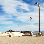
    Once one of America’s most top secret places, this well-preserved missile site is now a National Historic Landmark, offering tours to millions of visitors. Although the technology looks antiquated by today’s standards, from 1963 to 1987 it was one of 54 sites on high alert across the United States to deter nuclear war.

    The site was staffed 24/7/365 by a four-person missile combat crew (two officers and two enlisted) who were deployed for 24-hour shifts called alerts. Click here for a great map with a photo of each level of the site.

    Our Tour Begins

    The Access Portal drops about 35 feet with 55 steps, and leads to the underground missile complex, a freight elevator and the Entrapment Area. The entrapment area was used to confine personnel entering the complex until their entry authority was confirmed.

    Connecting the outside world and the underground missile complex, the Blast Lock Area begins at the foot of the stairs in the Access Portal. Two sets of 3-ton steel blast doors and 3-foot thick concrete and steel walls protected the crew from nearby nuclear detonations, intruders and hazardous conditions in the missile silo.

    DEFCON 1

    The Launch Control Center was where the crew could monitor the condition of the missile site and the missile — and launch if ordered to do so. At least two crew members had to be present at all times and one of them had to be an officer. Our guide proceeded to simulate an actual launch of the missile.

    Even though it was all a simulation, it was quite stressful, since every step required authentication, all while the clock was ticking towards nuclear annihilation. I can’t imagine the stress when a real launch was always a possibility.

    Whew, We’re Still Here!

    “Then you’ll journey down the cableway to level 2 of the missile silo to get an up-close look at the Titan II missile itself (through glass). This tour lets you experience Cold War paranoia and American ingenuity while walking in the footsteps of the brave men and women who operated America’s largest land-based missile ever deployed.” ~ READ MORE

    Back to Ground Level

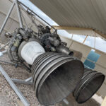
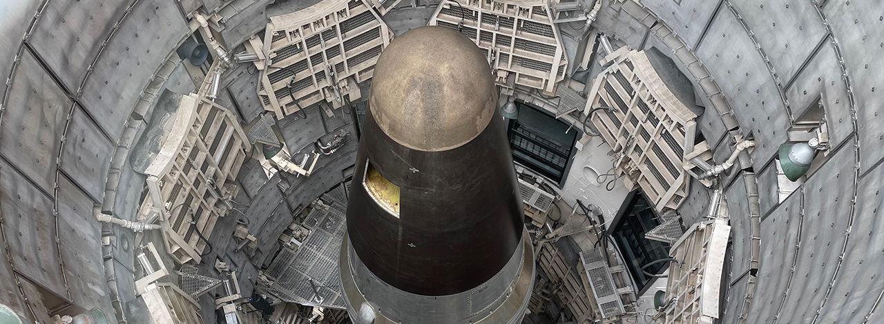
    “Guests are encouraged to explore the surface of the complex after their tour of the silo. On the topside, visitors will see the alarm systems, known as tipsies, that secured the missile silo door, get to look at the engine up-close, and more. There is also a spectacular view of the missile from up above! Looking down into the 146-foot missile silo you will see the Titan II Missile standing tall as it did on Alert for over 20 years.”

    In later years when all missiles were to be destroyed, the Air Force thought it important to keep one site for historical purposes. In the last photo below, you’ll see a notch out of the cone. This notch can be seen from a satellite and proves that the missile is not operational, so this missile site can continue to offer tours and tell the story of those tumultuous times.

    Spoiler Alert

    Back to the movie War Games: when Joshua (the computer who is performing simulations of who would win a “game” of Thermonuclear War), Joshua replies, “A strange game. The only winning move is not to play. How about a nice game of chess?”

    Next up: San Xavier del Bac Mission

    Happy trails,
    Barb
  • Saguaro National Park

    Saguaro National Park

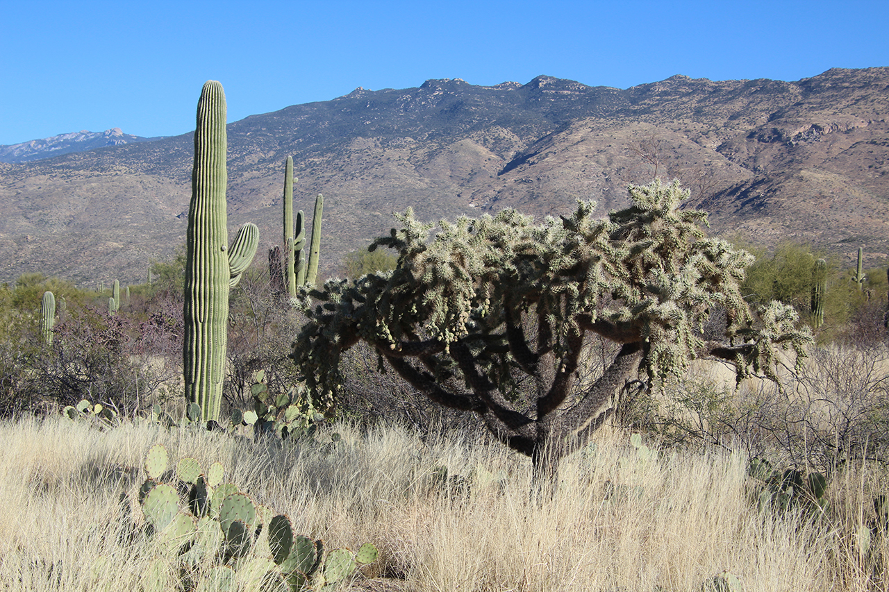
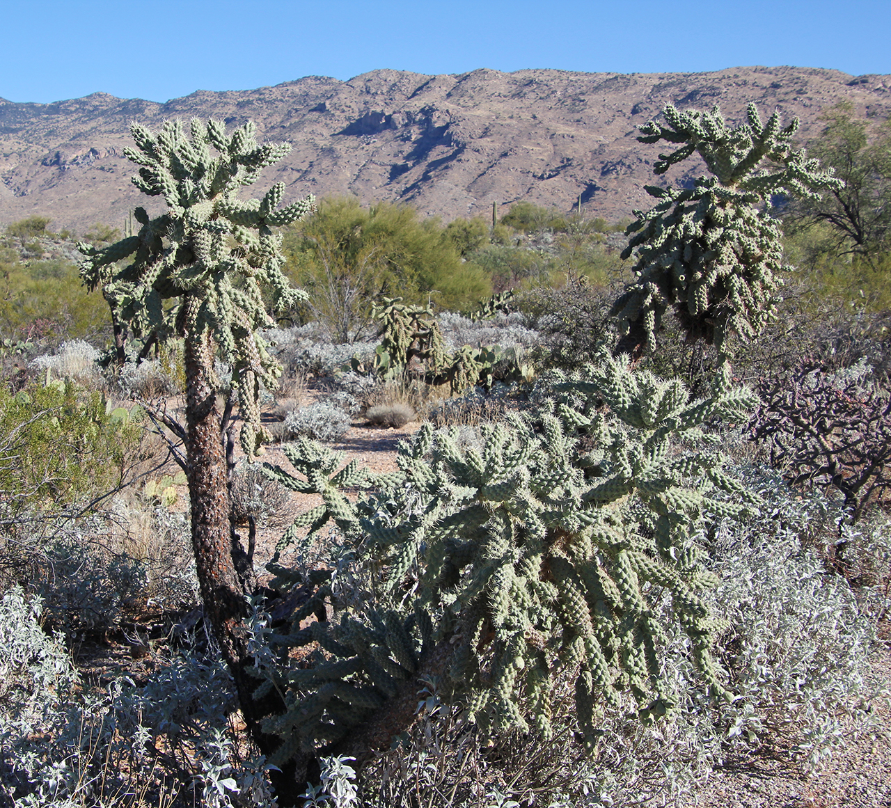
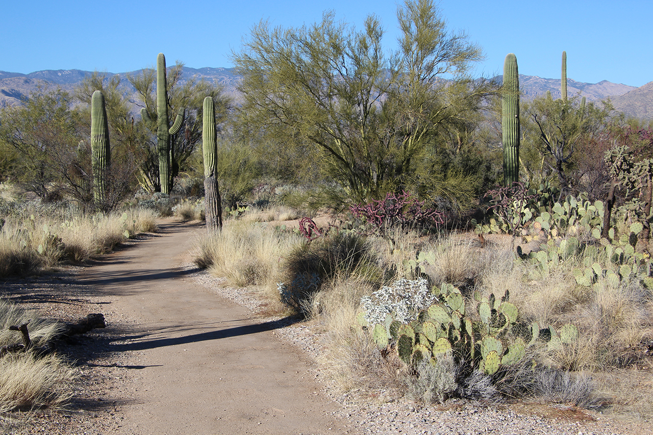
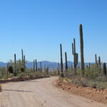
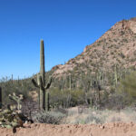
    We continue our stay in Tucson with visits to both sections of Saguaro National Park. With a whole park named after them, we were sure to see lots of saguaros and other cacti of various shapes and sizes. Due to the sheer volume of photo opportunities and the narrow and winding roads, this park provided two days of entertainment and lots of pretty pictures.

    Click on the first photo in each group and scroll to see the square photos at full size.
    To start at the beginning of this series, visit So Long Snow 2022.


    A New Perspective

    During the four years I lived in Arizona (back in the day), I had friends who enjoyed the cactus and dry desert as much as I did. We loved to hike up into the Phoenix mountains and gaze out over the beautiful desert. We’d joke the saguaros were flipping off the people who cared only for the winter warmth, and we secretly wished the snowbirds would stay away until they appreciated the desert for all it had to offer.

    Now that I’m of a certain snowbird age, I realize how wonderful it is to spend the winter months as far away from snow as possible. Since I’ve always appreciated the desert for all it has to offer, I think I should be able to winter here without guilt, don’t you think? Funny how a person’s perspective changes over time!

    A Home for Saguaros

    “The saguaro cactus forest around you owes its existence to the foresight of local residents. In the 1920s grazing and development threatened the saguaro’s future. Saguaro forests began to disappear as mature cactuses were chopped to make way for new roads. Livestock added to the damage as cattle trampled seedlings. Fearing the destruction of the southwest’s saguaro forests Homer Shantz led the effort that created Saguaro National Park – protecting the giant saguaro for generations to come.” ~ Another sign near the entrance.

    Standing Tall in the Desert

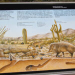
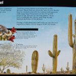
    The Saguaro Cactus is the universal symbol of the American west. Its roots are only four to six inches deep, but they spread out as far as the plant is tall and a tap root extends down into the ground more than two feet. More facts from the National Park Service:
    • The saguaro is the largest cactus in the U.S. and the tallest one ever measured was over 78 feet.
    • The saguaro grows as a column at a very slow rate, with all growth occurring at the tip.
    • It can take ten years to reach one-inch in height, and 70 years to reach 6-1/2 feet and produce its first flowers.
    • By 95-100 years, a saguaro can reach 15-16 feet, and could get its first arm. While some saguaros have dozens of arms, others may not have any, and no one knows why.
    • By 200 years old, the saguaro has reached its full height – somewhere around 45 feet.

    Saguaros are only found in the Sonoran Desert and are protected at Saguaro National Park. Obviously all sorts of cactus, not just saguaro make this an amazing destination and a dream come true for the photographer in us all.

    The Rincon Mountain District (RMD)

    East of the city of Tucson, the Rincon Mountain District is the larger of the two sections of Saguaro National Park. Mica Mountain is the park’s highest point and tops out at 8,664 feet. With no roads past a certain point, there is no way to reach the summit by car. With many miles of trails to get you there, you’ll have to put in some work.

    “Dayhikes in the Rincons are usually limited to the lower elevations due to distance, but hardy hikers can easily manage the longer distances needed to attain Mica Mountain in one long day (10-11 hours). The upper Rincons feature healthy, mature forest, canyons, streams and rock formations, things not “obvious” when  viewing the range from below.” ~ READ MORE

    Know Your Limits

    Since we do not consider ourselves “hardy hikers”, we opted for the Cactus Forest Drive. This eight-mile, one-way loop is paved and has plenty of parking areas along the way to stop and check out the views. The signage at these areas is very interesting and offers great insight into desert life. Depending on how much you stop (and we stopped a lot!) it can take a while to see these eight miles!

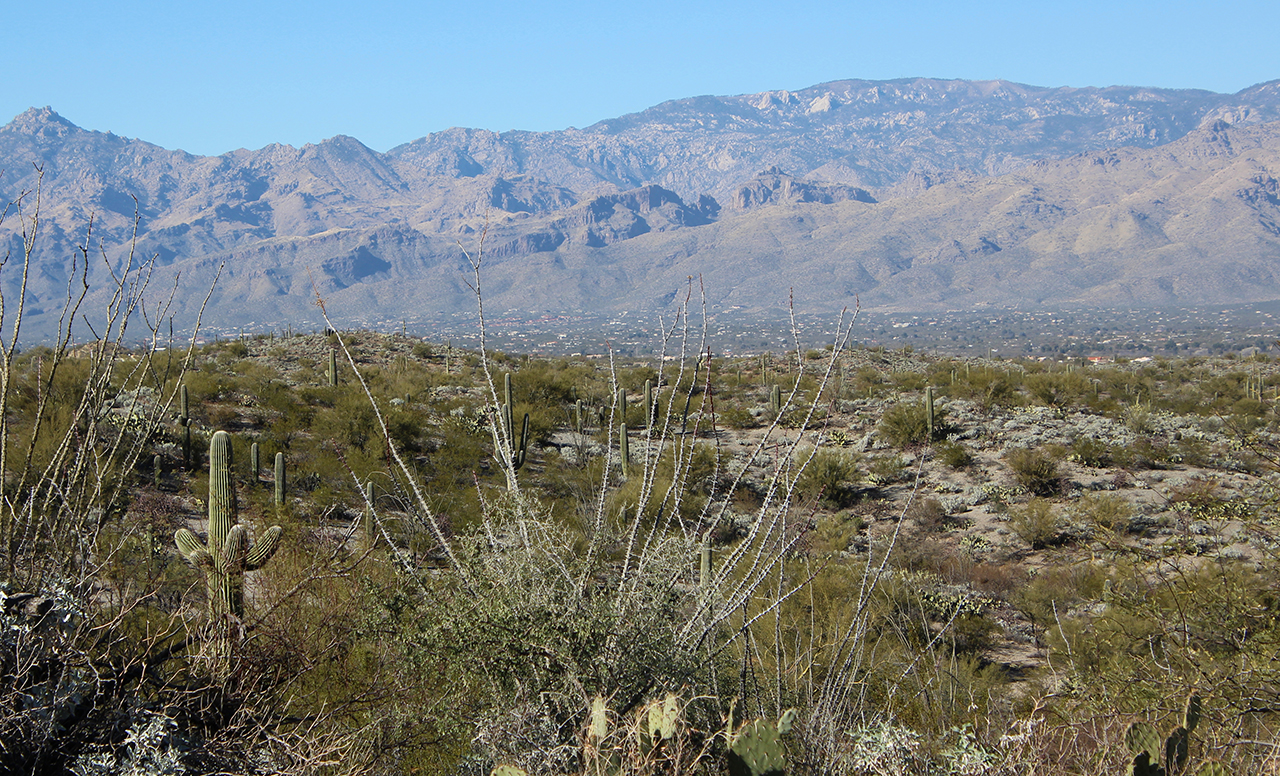
    The saguaros in this section are large, but less plentiful than those at the TMD in the west, with lots more shrubbery and other vegetation. As the elevation rises a bit, numerous saguaros love the south side of the gently sloping hillside, but since cacti do not grow at the higher elevations – which make up the majority of the RMD – there are fewer saguaros in the Rincon District.

    The Colors of the Desert

    A cactus blooms nearly every year although when the desert is blessed with more rain, it is blessed with more flowers! April brings about the biggest variety of spring blooms, with prickly pears showing off in early May, followed by the saguaros strutting their stuff from mid May to mid June. It is truly a sight to behold!

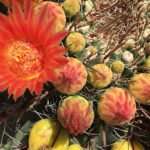
    Barrel cactus buds typically start to bloom in April with bright yellow or orange flowers. A late summer rainstorm can produce a late bloom, which explains the photo at the right, which was taken in August of 2016.

    During our visit this year in early February, the colors were muted but still awesome. Even without the blooms which will follow, there was so much to see that it was all good… very good.

    Take a Hike

    Pullouts were abundant along the main road, with larger parking lots near the trails. According to HikingProject.com, in the Rincon Mountain District there are 181 miles of trails with 22 easy, 24 intermediate, and six difficult trails. I suggest that you take a hike and immerse yourself in the desert experience. Although, not so much when it’s 117 degrees!

    Water is Life

    “Land of extremes. Land of contrasts. Land of surprises… That is Arizona.”

    ~ From the Federal Writers Project, Arizona: The Grand Canyon State, 1956

    Welcome to Arizona, where Summer spends the Winter and Hell spends the Summer!

    ~ From PictureQuotes.com

    The Tucson Mountain District (TMD)

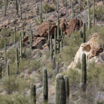
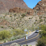
    West of the city of Tucson, the Tucson Mountain District is the smaller of the two sections of Saguaro National Park, which are separated by Tucson’s one million residents. As you enter Tucson Mountain Park, it starts out very steep and curvy, but levels out to a magnificent desert floor. It was really something!

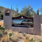
    Tucson Mountain Park

    Tucson Mountain Park was established April 1929… At approximately 20,000 acres, the park is one of the largest natural resource areas owned and managed by a local government in the U.S. The park has approximately 62 miles of non-motorized shared-use trials. The park’s trails are open to hikers, equestrians, and mountain bikers, and provide a wide range of outstanding experiences, including technical challenges, and breathtaking views. Gates Pass overlook includes interpretive displays and historic structures. Picnicking and wildlife viewing opportunities are located throughout the park.” ~ READ MORE

    Red Hills Visitor Center

    “The Red Hills Visitor Center is a great place to learn about the park and start your visit to Saguaro National Park’s West District. Views from the patio are spectacular and overlook the Red Hills and majestic Saguaro cactus forest nearby. Learn more about the unique geology of the Tucson Mountains, get great recommendations on how to get the most out of your time in the park, or explore the park bookstore. General information, park maps, and hiking guides are available in front of the building 24-hrs a day.” ~ READ MORE

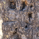
    Can you Estimate the Age of These Saguaros?

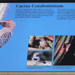
    Cactus Condos!

    February. A Great Month in Arizona.

    Signal Hill

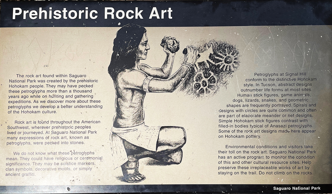
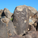
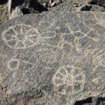
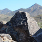
    Signal Hill petroglyphs site offers dozens of images viewable from a short trail. The large spiral image in the fourth photo is located at the top of the hill. In the background is Wasson Peak and Sombrero Peak and a dense Saguaro forest.

    How Much Time do you have in Tucson?

    If you’re only in Tucson for a short time and really want to see saguaros and other cactus, maybe the Rincon Mountain District (west) side would be more to your liking. If you have an extended stay and enjoy hiking, the Tucson Mountain District (east) side offers more opportunities with lots of trails, and this is the only region that allows backpacking. We were here a week and we enjoyed both sides very much, even without the hiking!

    Next up: How About a Nice Game of Chess?

    Happy trails,
    Barb
  • The Old Pueblo

    The Old Pueblo

    We continue our 2022 winter road trip with a week in Tucson, Arizona. Today’s journey was wonderful – up the Catalina Mountains almost to the summit – complete with a light dusting of snow. We had magnificent views from high above the valley without the stress of most climbs to 9,100 feet. Let the awesomeness begin!

    Click on the first photo in each group and scroll to see the square photos at full size.
    To start at the beginning of this series, visit So Long Snow 2022.


    Like Soldiers Standing Guard

    “Nicknamed “The Old Pueblo,” Tucson is one of the oldest continually-inhabited areas in North America. Hohokam Indians lived and farmed here before Spanish missionaries and soldiers arrived in the late 1600s. In 1912 the total number of different flags flown over Tucson reached five: American, Spanish, Mexican, Confederate and finally, the State of Arizona.” ~ From The Natural Beauty of Arizona

    Timeshares are somewhat hard to secure in the southwest (at least through Bluegreen), so we ended up at the Hotel Tucson City Center. Our very spacious king suite had a balcony, living room, kitchen table and a bird’s-eye view of a beautiful pool. Although someone is swimming in the photo below, we did not partake.

    Because this king room may have once been two regular hotel rooms, we also had a mini fridge, microwave, and TV in EACH room, which came in handy. Not that we used both microwaves, but refrigeration (and agreeing on a TV channel) is sometimes an issue on these longer trips.

    Best Parts

    There are two best parts of these accommodations – well three, if you consider it’s convenient location to downtown and the Interstate. We were able to book using our timeshare points (Direct Exchange) and we were offered a delicious HOT breakfast every morning (not the typical continental). Laundry was on-site, but it was not convenient at all (and kind of grungy), so we didn’t use it. Otherwise we were very impressed.

    Since we had just driven about 25 minutes from Tubac, we finished off our margarita cravings for the day at El Charro along with dinner to get a feel for the area near our hotel. The inside was full up, so we opted for the chilly patio, but soon the standing heaters warmed things up nicely. The food was delicious and although we thought we may come back again later in the week, there were just too many other options for dining.

    The Majestic Santa Catalinas

    Catalina State Park sits at the base of the majestic Santa Catalina Mountains. The park is a haven for desert plants and wildlife and nearly 5,000 saguaros. The 5,500 acres of foothills, canyons and streams invites camping, picnicking and bird watching — more than 150 species of birds call the park home. The park provides miles of equestrian, birding, hiking, and biking trails which wind through the park and into the Coronado National Forest at elevations near 3,000 feet.

    The park is located within minutes of the Tucson metropolitan area. This scenic desert park also offers equestrian trails and an equestrian center provides a staging area for trail riders with plenty of trailer parking. Bring along your curiosity and your sense of adventure as you take in the beautiful mountain backdrop, desert wildflowers, cacti and wildlife.” ~ READ MORE

    The first time I saw the Santa Catalina Mountains, I had to pull over and gawk for a while. I think they are some of the most beautiful mountains I’ve seen. The header photo and the photos below were taken in the Park on a previous trip.

    A Beautiful (Low Stress) Mountain Drive

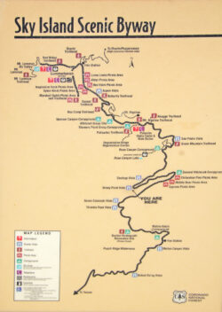
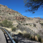
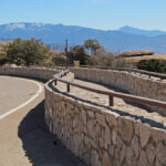
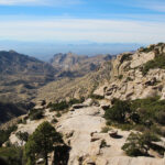
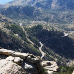
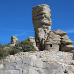
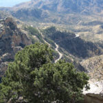
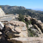
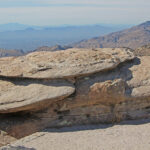
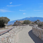
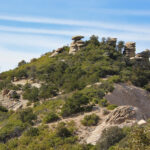
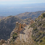
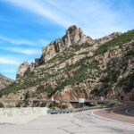
    The first day of our Tucson week was spent on a drive to Mount Lemmon via the Catalina Highway. Recently designated as a US National Scenic Byway called Sky Island Parkway, this is a beautiful, curvy drive with plenty of pullouts to amazing overlooks. Because it could be thirty degrees cooler up top, it’s a great way to escape the heat of summer.

    Today the difference wasn’t nearly as drastic and this splendid day just continued to be splendid. We took our time and enjoyed every minute of it. Why rush?

    “Start your journey among giant saguaro cacti of the Sonoran desert and climb to shady conifer forests at nearly 9,000 feet, passing biological diversity equivalent to a drive from Mexico to Canada in just 27 miles. Enjoy spectacular views and recreational opportunities from hiking and camping to picnicking and skiing.” ~ READ MORE

    Let the Awesome Begin!

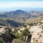
    Bird’s Eye Views

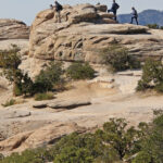
    If you’re just a little braver and younger than we are, there are opportunities to get closer for even better views. We were more than happy with the views from the pullouts along the way, thank you very much.

    See Where You’ve Been

    We chose to visit the pullouts and overlooks on the way up, but next time we go we may go all the way up to spend more time at the top and work our way back. It’s definitely worth another look no matter how we do it!

    So You Can Ski in Arizona?

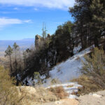
    Mount Lemmon’s Ski Valley is the southernmost ski destination in the continental U.S. at 9,157 feet. Although we were here on January 31 and there was only an inkling of a snow event, this must just be a fluke. According to the website, it snows here more often than you might think and “22 trails range from green circle to black diamond”. Even when there’s no snow, the ski lift continues, and in summer the Sky Ride offers 30 minutes of great views from high above the valley.

    Also up top is Mount Lemmon Station Observatory. Previously a USAF radar base and then a military emergency radar tracking station for landing the Space Shuttle and tracking missile launches, it is now used by the University of Arizona for astronomical research. If you’d like to visit the observatory, the Catalina Highway runs up to the top of Mount Lemmon to the town of Summerhaven. Lots more to see on another visit!

    Big Skies and Long Distances

    “Mountaintops in Southern Arizona are some of the best in the world for viewing stars and planets. Clear skies, infrequent cloud cover, calm dry air, and proximity to the University of Arizona and Tucson make this region a major center for astronomy. There are two observatories in the Santa Catalina Mountains – and both amateur and professional astronomers come to this area to view the heavens. Other mountaintops in southeast Arizona feature prominent observatories, including Kitt Peak, Mt. Hopkins and Mt. Graham.” ~ From a sign nearby.

    What a ride, but…

    Saying we stopped 1,000 feet short of the summit leaves me feeling a little disappointed. I can’t remember if the road to the observatory was closed or if we just forgot about it once we made a stop at the gift shop in Summerhaven. We hope to return on our next trip to see the observatory and take a ride on that Sky Ride, so we can officially check this off our bucket list.

    Next up: Saguaro National Park

    Happy trails,
    Barb

  • The Wild West

    The Wild West

    Spending two nights in Sierra Vista, AZ set us up nicely for some day drinking, mine and mission exploring, shopping, and tapas and ritas. What’s not to love about road trips? I can’t think of anything either!

    Click on the first photo in each group and scroll to see the square photos at full size.
    To start at the beginning of this series, visit So Long Snow 2022.


    After a great stay in San Antonio, it’s time to go west young man. A long, nine-hour drive got us to Deming, NM which made for a quick, three-hour drive the next morning to Tombstone, AZ. We spent the afternoon scouring the town for something new to do after several visits to this town in recent years.

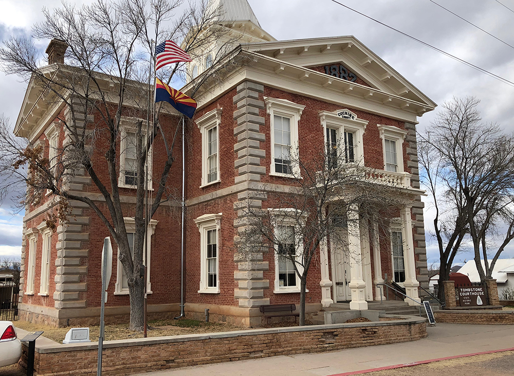
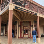
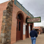
    Visit Oil Fields to Radiant Skies for our 2019 visit in Tombstone where we explored the Tombstone Courthouse State Historic Park, the Crystal Palace, the Bird Cage Theatre, ending at Big Nose Kate’s Saloon for a little refreshment.

    Tombstone Redo

    “One of the last frontier boomtowns in the Old West, Tombstone prospered from about 1877 to 1890, when the town’s silver mines were extremely profitable. It is best known as the site of the Gunfight at the O.K. Corral and draws most of its revenue from tourism.

    Don’t miss this great little town, complete with the Legendary Boothill Graveyard. Helldorado Days is a big reenactment in Tombstone on the third Friday-Sunday in October, but even at other times of the year, you’ll see a few gunslingers walking around stirring up trouble.” ~ From The Natural Beauty of Arizona

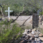
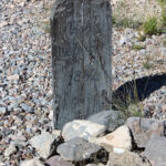
    This time we made a stop at Boot Hill Graveyard. The worst thing about traveling in the winter is the lack of vegetation, so these photos were taken on a previous trip to add a little color to an otherwise drab photo.
    “Its occupants ran the spectrum of all the cultures and nationalities of early Tombstone. Cowboys who “died with their boots on” lie next to housewives, business men and women, miners, gamblers, ladies of the “red-light district” and all the famous and not so famous occupants that contributed to Tombstone’s early history.” ~ READ MORE

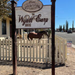
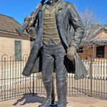
    Tombstone has quite a wild history and its Chamber of Commerce has a wonderful accounting of a lot of it at “The Town Too Tough to Die.” We had planned to stop at the Wyatt Earp House, but it was closed and for sale, and the Audie Murphy Medal of Honor Museum was closed as well. It looks like Big Nose Kate’s will get our business again. After all, according to my own personal “Tips for the Trip” one of the best parts of road tripping is relaxing and sampling the wares at the local establishments!

    Lots of History and Fun Music

    This was one of our favorite afternoons of the trip, with a very friendly bartender and some great bar food. Jim had a Big Ass Beer and I had a regular ass one, and what day would be complete without an old cowboy providing a little entertainment!

    Of course Jim had to try some whiskey that has ties to Tombstone – or at least to one of its residents from back in the day. Old Overholt Rye Whiskey was the drink of choice for Doc Holliday – infamous gunfighter, gambler and common-law husband of Big Nose Kate. Founded in 1810, “Old Overholt is considered to be America’s oldest continuously operating whiskey brand – still brewed at the Jim Beam distillery in Kentucky”.

    Queen Mine Tour

    It was a short and beautiful drive from Tombstone to our first of two nights in Sierra Vista. We had a pizza delivered that night, with a free breakfast and a relaxing morning before our visit in Bisbee. After a little exploring, we grabbed a delicious appetizer at Contessa’s Cantina before our 2pm Queen Mine Tour.

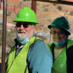
    “Outfitted in a hard hat, miner’s headlamp and a yellow slicker, thousands of Bisbee visitors descend into the Queen Mine Tour each year—heading underground and back in time. Tour guides, retired Phelps Dodge employees, lead the group 1,500 feet into the mine and recount mining days, techniques, dangers and drama.” ~ READ MORE

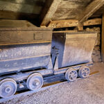
    “Bisbee has been one of the greatest copper camps the world has ever known”. With almost 100 years of continuous production before the Bisbee mines closed in 1975, the local mines produced metals valued at $6.1 billion (at 1975 price) one of the largest production valuations of all the mining districts in the world.” ~ READ MORE

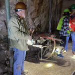
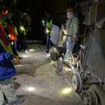
    The second photo below is an example of a drill that was used to make the holes where the dynamite would be placed. In the third photo you can see the spacing of the holes (which was all calculated for the best blast) and the fuses on the dynamite are all ready to be lit. Great care was taken to make sure the fuses were of varying lengths – long enough to give adequate time to light them all – AND long enough to be able to get the hell out of there in time!

    These brave men would do the blasting at the end of the shift, giving time for the gasses, dust and debris to clear before the start of the next day’s shift. Everyone paid very close attention to how many fuses were lit and how many blasts were heard. If they lit 20 and only heard 19 blasts, someone would have to go investigate. I would not have wanted to draw the short straw on that day!

    A Marvelous Afternoon

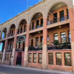
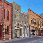
    If you love shopping and nibbling your way through historic towns in the great southwest, Bisbee is the place for you. After our mine tour, we spent some time doing just that!

    Best Hippie Town in Arizona

    There were several hints that this town was pretty cool, but while doing a little research, this old mining town is the best hippie town in Arizona – according to Thrillist, anyway!

    “Once upon a time, this town 10 miles from the Mexican border was a mining town full of the sorts of guys who probably would have complained about hippies. Now? Now, it’s got a colorfully painted downtown full of “art cars” and equally colorful characters who’ve decided to drop it all and go live in the desert.” ~ READ MORE

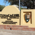
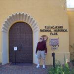
    Tumacácori National Historical Park

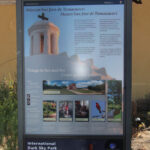
    After leftovers for dinner, we turned in early so we could make a memorable trip out of the drive from Bisbee to our next home base in Tucson. A three-hour drive got us to our first stop – a fantastic three-hour layover at Tumacácori National Historical Park. The website is very extensive, so be sure to take a look, especially if you don’t think you’ll make it to that part of the country anytime soon.

    Culture, Nature, and Community

    “Tumacácori sits at a cultural crossroads in the Santa Cruz River valley. Here O’odham, Yaqui, and Apache people met and mingled with European Jesuit and Franciscan missionaries, settlers, and soldiers, sometimes in conflict and sometimes in cooperation. Follow the timeworn paths and discover stories that connect us to enduring relationships, vibrant cultures, and traditions of long ago.” READ MORE

    An Extensive Facelift

    The photos above look pretty good compared to a photo from 1912, where the mission was in ruins. The Park does a great job of displaying before and after shots – I have included a few – and having them to compare was very helpful.
    The photos below were taken in the Nave, or the central part of the church. In this case the Nave is rectangular, separated from the chancel by several steps and the congregation stood or knelt during services. Four altars along the sides contained candles to be lit when folks prayed to the statues of saints which stood in the niches above.

    After the mission was abandoned in 1848, the roof was removed and repurposed by local settlers, leaving the church exposed to the elements for nearly seventy years.

    An Ongoing Process

    Preservation has been going on for decades, and better techniques have been discovered along the way. Visit the link to read more about the process of restoring this fabulous place to its former glory after years of neglect and misuse. As you can see they still have a ways to go!

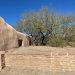
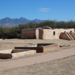
    The Grounds

    It was a gorgeous day and we spent way more time on parts of these 360 acres than we thought we would, just because it was so fascinating and HUGE! The beautiful white dome was visible from almost everywhere. The mortuary chapel is shown in the first three photos below. The last photo is the cemetery, or campo santo (holy ground), although any evidence of mission-era graves is long gone.

    “The mortuary chapel, circular in design and about sixteen feet in diameter, faces the former entrance to the walled cemetery. Its roof, possibly intended to be a dome, was never completed. Mortuary chapels were required of all mission communities as the understanding of “germs” began to take root back in Europe. Diseases such as small pox and measels, fatal especially to native populations, held significant risk within the confines of the mission community.” ~ READ MORE

    The Storeroom

    “Foodstuffs were stored here for distribution to the community. Prior to the coming of the Spanish, the local diet consisted of squash, beans, corn, game, and wild plants. The Spanish brought domestic sheep, goats, and cattle, adding protein to the diet. They brought wheat, which could be grown in winter, as well as fruit trees, such as apricot, fig, quince, and pomegranate, providing a pleasing dietary variety.

    The stairs led to a second story where additional food and animal fodder were stored. The food was kept in baskets and clay pots for later distribution. The mission had a communal system of growing, collecting, and distributing. How were fruits, fleshy foods, and meats preserved without refrigeration or canning? Extensive use of the hot desert sun and dry climate was made in preserving many foods for year-round use. Fruits, meat, and grains were all dried before placing them in their respective containers to be used during the nongrowing season.” READ MORE

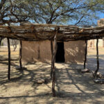
    Melhok ki

    The O’odham word for house is “ki” (kee). Melhok (pronounced moo’ ro) is the word for the plant known in Spanish and English as “ocotillo.”

    “The structure that you see here is a modern construction of a traditional O’odham dwelling, made of mesquite timbers, ocotillo sticks, and mud. It was built in 1997, following ancient customs, by O’odham workers using traditional hand tools. When completed, it was dedicated by them to San Francisco Xavier, Father Kino’s patron saint. Originally, the O’odham built round kis. Over time they adopted the square rooms favored by the Spanish. A home would also include a juato (whä´ to), or mesquite ramada, as you see here. Although this ki is of modern construction, it probably closely resembles the O’odham housing that was once part of the mission complex.” ~ READ MORE (and see an interior photo)

    Days Gone By

    A walk around the exterior gave us a great overview of the grounds. Although some of the structures were only outlines of what used to stand there, it was so fascinating. A small stand was set up where we could sample some fry bread and take a look at some native arts and crafts.

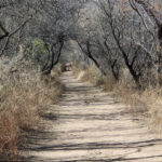
    Down By the River

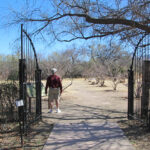
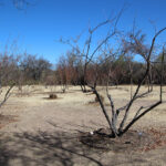
    We decided to continue our tour and take the dusty trail down to the Santa Cruz River. Along the way we passed by the orchard. During our visit in late January it was just sticks, but I’m sure it is lovely in later months and even better when the trees start to bear fruit.

    “The mission complex included a walled garden and orchard. The treelines in front of you and to your right grow along the stone foundations of two of the adobe walls which originally surrounded and protected this area. Within this 4.6 acre enclosure, the community grew vegetables and fruit trees. Since there are few fruit trees native to this area, the orchard would have contained favorite trees brought to the mission from Europe such as peach, pomegranate, quince, and fig. As recently as 1938, peach trees lined the mission acequia, stabilizing its banks and making use of moisture which seeped through its mud walls. The fruit trees that you see growing here today were started from seeds and cuttings of old cultivar fruit trees—the oldest trees that could be found in historic orchards and yards throughout southern Arizona. This replanted orchard was dedicated in 2007.” ~ READ MORE

    “Probably the single most important commodity in the desert was, and is, water. Water for drinking, washing, bathing, and irrigating crops was taken out of the Santa Cruz River.” This was a nice little hike back and it was a wonderful ending to our visit to this fabulous place. This is a must-see in my book, if my opinion means anything to you.

    Time for Tapas and ‘ritas

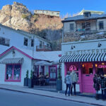
    A hundred miles got us to Tubac, a great little town for shopping and dining and shopping. I could have used a little more shopping, but someone I know wasn’t in the mood and was ready to get “home” to our new accommodations in Tucson. Party pooper. That classy javelina looks like she’s ready to party!!

    Next up: The Old Pueblo

    Happy trails,
    Barb