Category: Wisconsin

  • Washington Island

    Washington Island

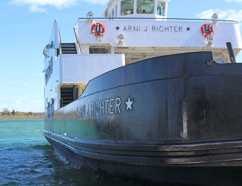
    We’ve been to Door County many times, but have never gone to Washington Island. I set my sights on changing that and decided to stay two nights on the Island, which would allow most of my travel day for exploration here and one day to take the ferry to Rock Island (my previous blog). There are many ways to take in Washington Island. Since it’s a little expensive for a day trip to take your car along, some people opt to take the people-only ferry at Gill’s Rock or Northport. Once there, you can rent bikes or mopeds, just hang around the harbor or maybe catch the Cherry Train, which is an open-air tram that will give you a nice overview of the Island on its 2-hour tour. For a little more info on Washington Island, click HERE.

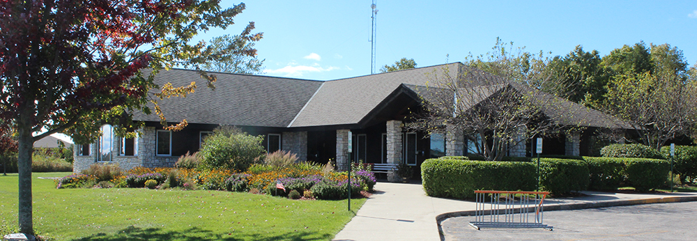
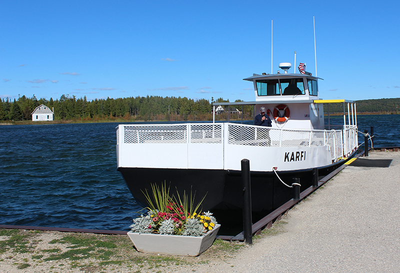
    With over 80 miles of paved roads on the Island, I opted for the works. For $65, I got round trip tickets for the car ferry to Washington Island and the passenger ferry to Rock Island and also a ride on the Cherry Train tram tour. In my opinion that was the way to really get a feel for the laid-back state-of-mind you’ll get on both islands and see as much as I could during my time there. The Welcome Center at Washington Island was steps from the ferry and offers a break from the wind and some very pretty surroundings. Bike rentals are close-by as well. But don’t get the idea that you can walk the Island, because from the ferry landing to Downtown is three miles and Jackson Harbor (where you catch the Karfi to Rock Island) is eight miles.

    You can’t miss the Cherry Train, with it’s bright red pickup truck and equally as red tram-cars. Our tour-guide was very knowledgable about the Island and offered lots of history and a few funny stories. Even though you may have been told there is no such thing as a stupid question, be careful if you ask one – because you will be the butt of her jokes for years to come.

    Today was quite brisk, so thankfully I had many layers of clothing in my car. Remember that, if you come without a car since you’re sitting in the middle of Lake Michigan/Green Bay and it can get quite nippy, especially if the wind is whipping.

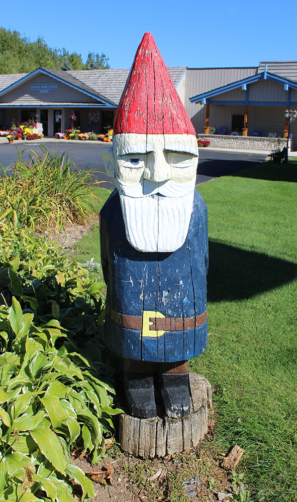
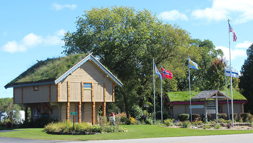
    First stop is Mann’s Mercantile (above, behind the gnome). It seemed like a strange stop to me, since we were only there for about 15 minutes and I can’t imagine stocking up on hardware while on the island, but they did sell yummy fudge and other snacks and the buildings to the right of the mercantile were quite interesting. Across the street was a bar. I suppose I could have slammed something that would have warmed me up, but I thought better of that idea.

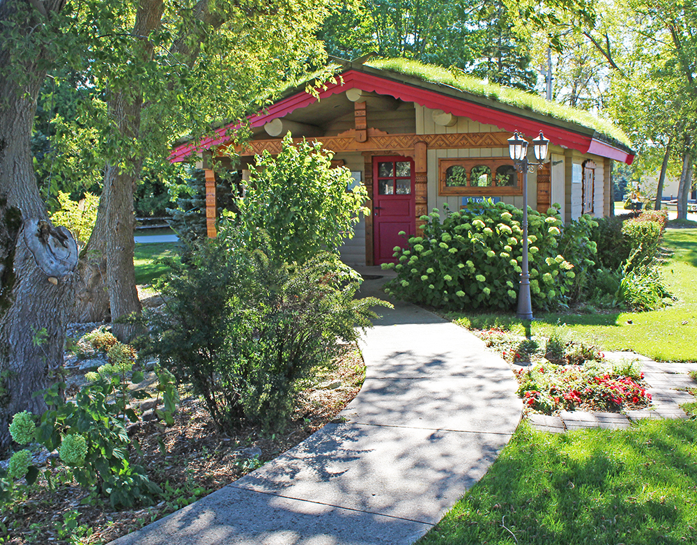
    Pictured above, you’ll notice the grass on the roofs. Apparently they tried to have goats grazing up top, but were almost sued because another establishment in Door County (to be covered in another post) took offense to them stealing their idea. I guess it all worked out anyway, since one roof was too steep and the goats would fall off and the other was too low and the goats would just jump off and run out into the road. Since they had to abandon that idea, a gentleman now has to go up and mow the roofs, which seems like a dangerous line of work to me!

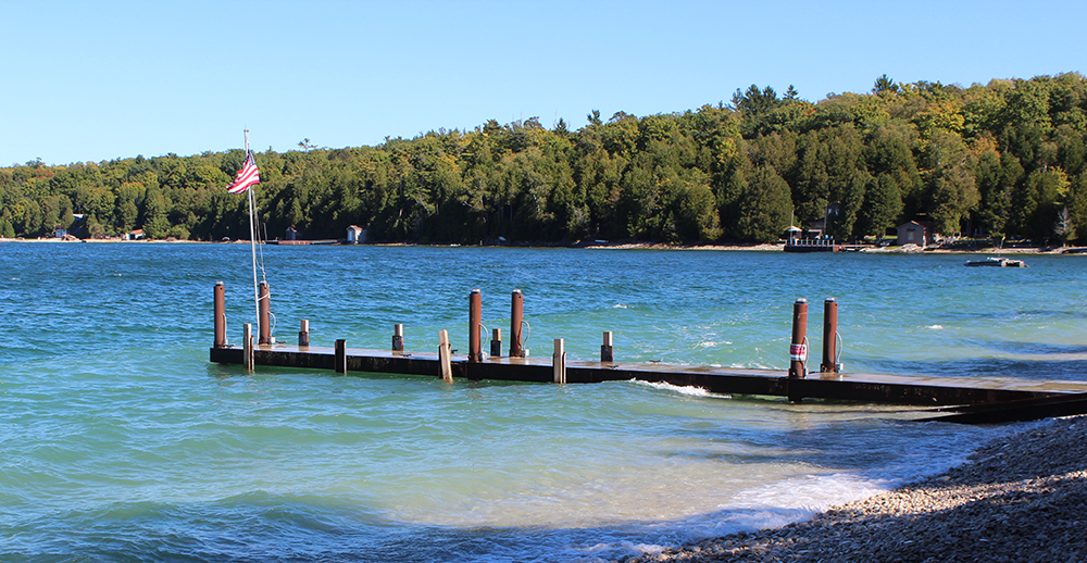
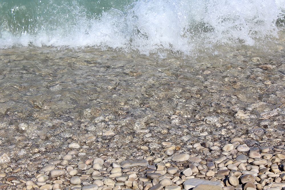
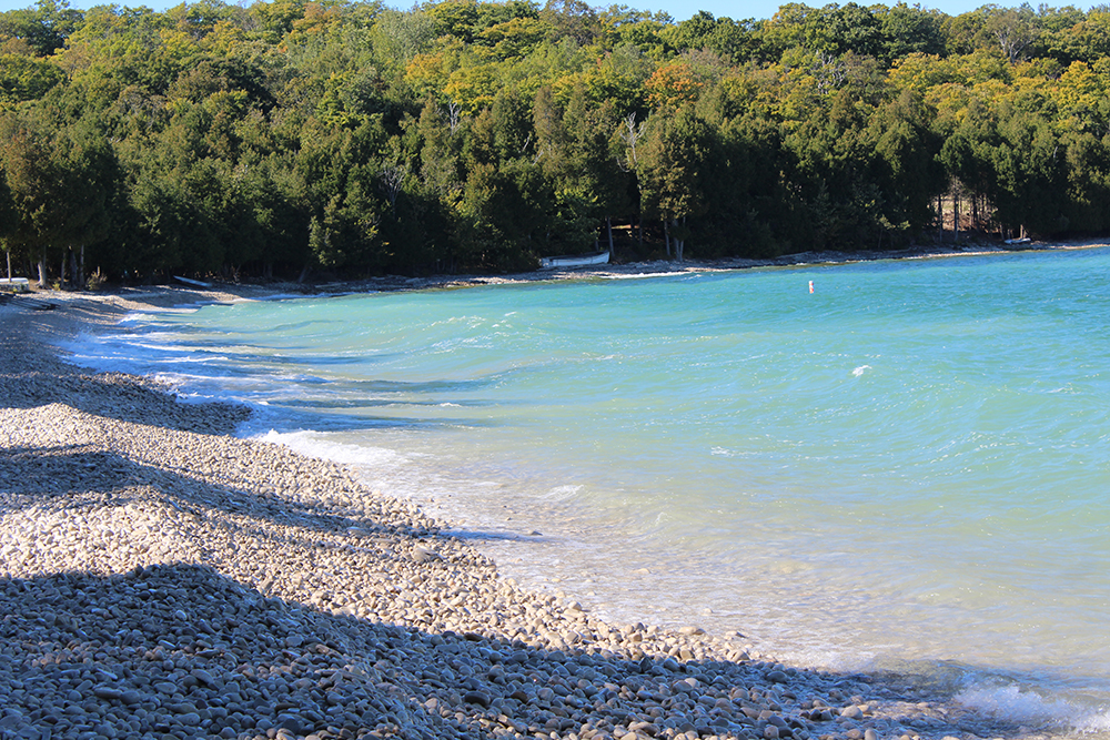
    Next stop is Washington Harbor and Schoolhouse Beach, which got its name from a log schoolhouse built here in 1850. If you’re not a fan of sand in your shoes, this is the beach for you. This is a beautifully smooth limestone beach, so bring some hard-souled shoes. And don’t take the rocks or you’ll get slapped with a $250 fine – for each rock. According to our driver, limestone beaches have the cleanest and clearest waters and there are no biting flies, which makes this the perfect place for an afternoon of relaxation. The water gets deep quickly so diving and snorkeling are good. Away from the water there’s a great place for picnics in a beautiful wooded area.

    Several beautiful blue signs near the beach read:

    “The smoothly polished stones are an integral part of the Schoolhouse Beach experience… By ones and twos, by pocketful, purse full, by box full, trunk full or truckload, the limestone gems so beautiful to look at, so soothing to hold, are being taken from their natural environment… Marvel at the grandeur of Schoolhouse Beach and please leave the stones as you find them.”

    “The big ships and docks are gone now, along with the early settlements and those who eked out a living on the harbor shores. Yet Washington Harbor remains a magnet for visitors and a cherished heritage for the descendants who still make the Island their home. This place of natural beauty has a magical quality with its mirror smooth surface evoking quiet reflection both physical and spiritual.”

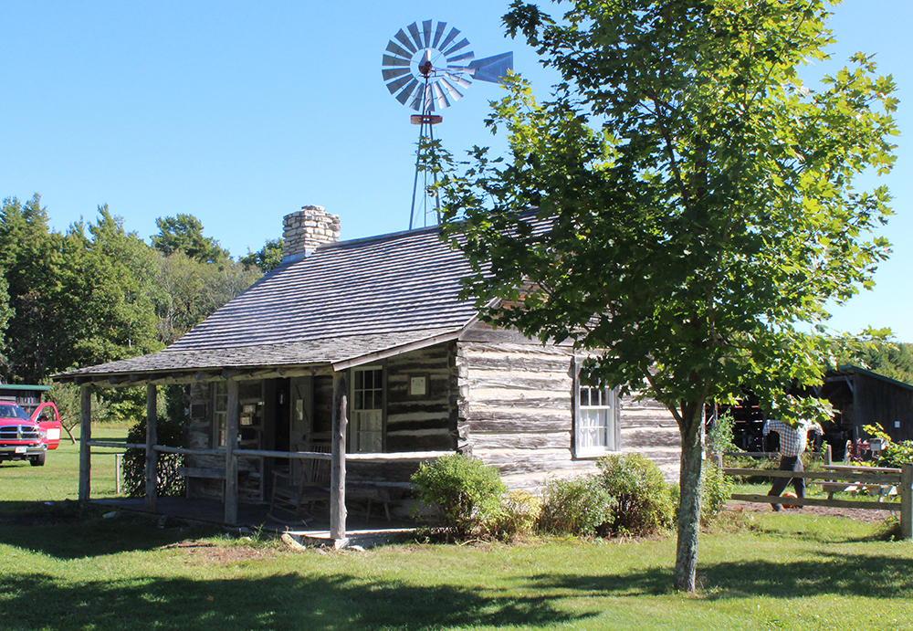
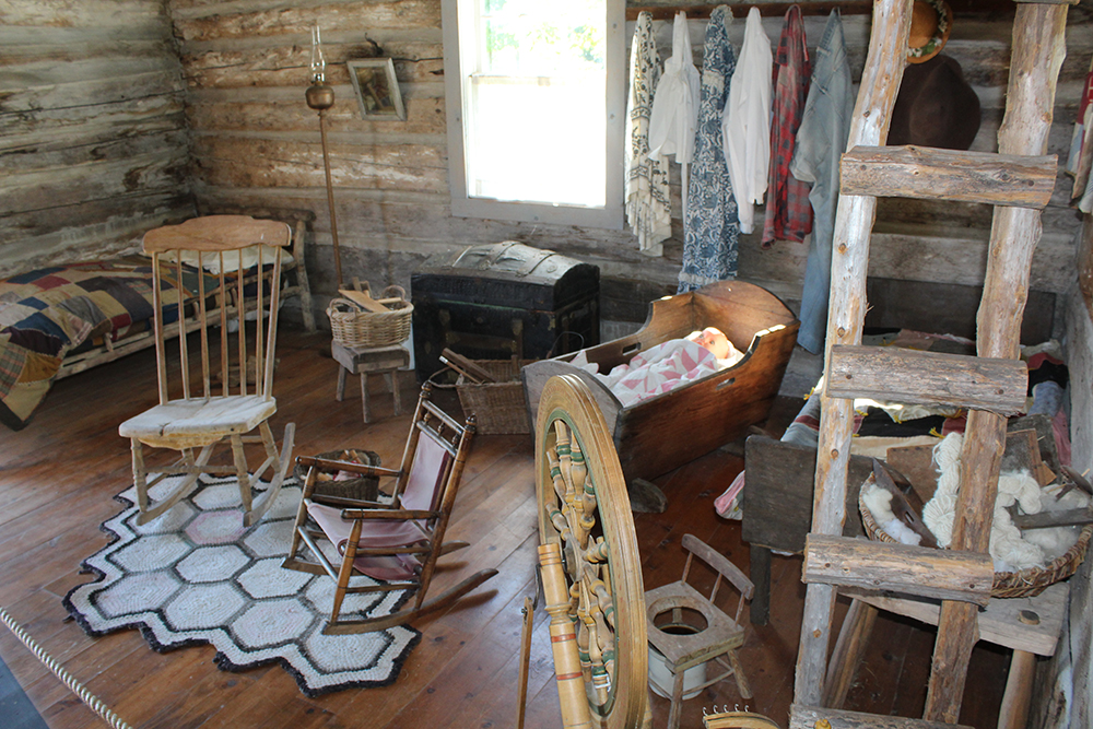
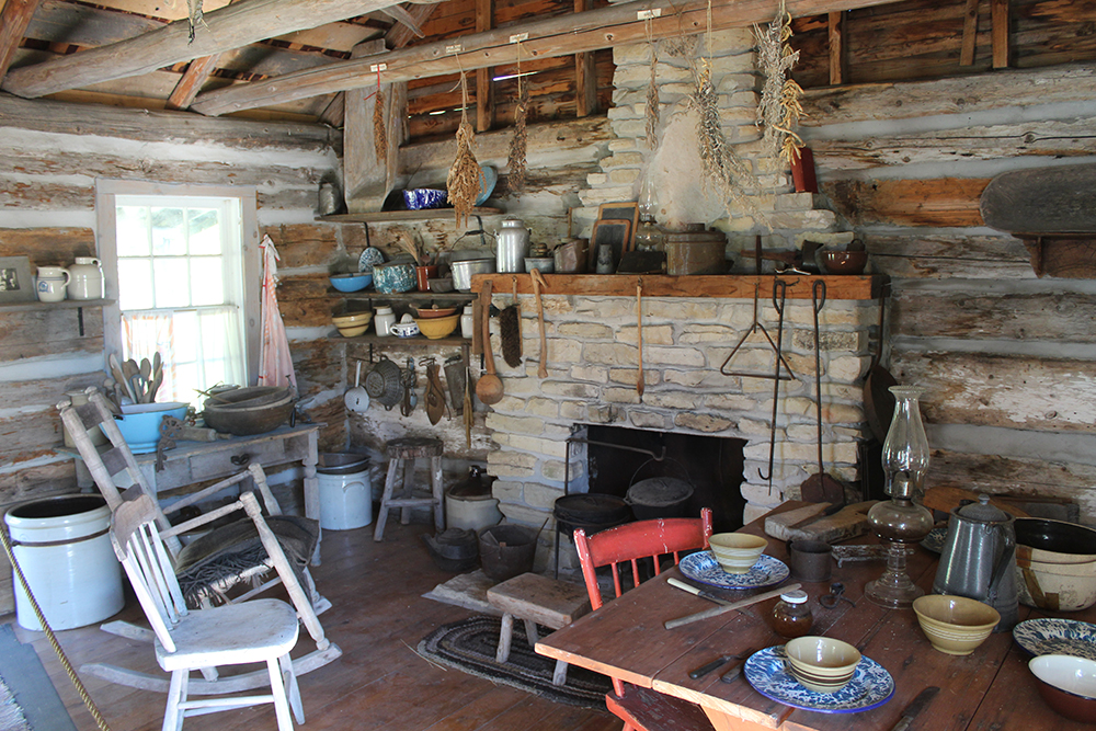
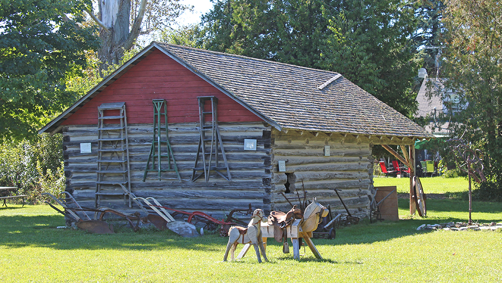
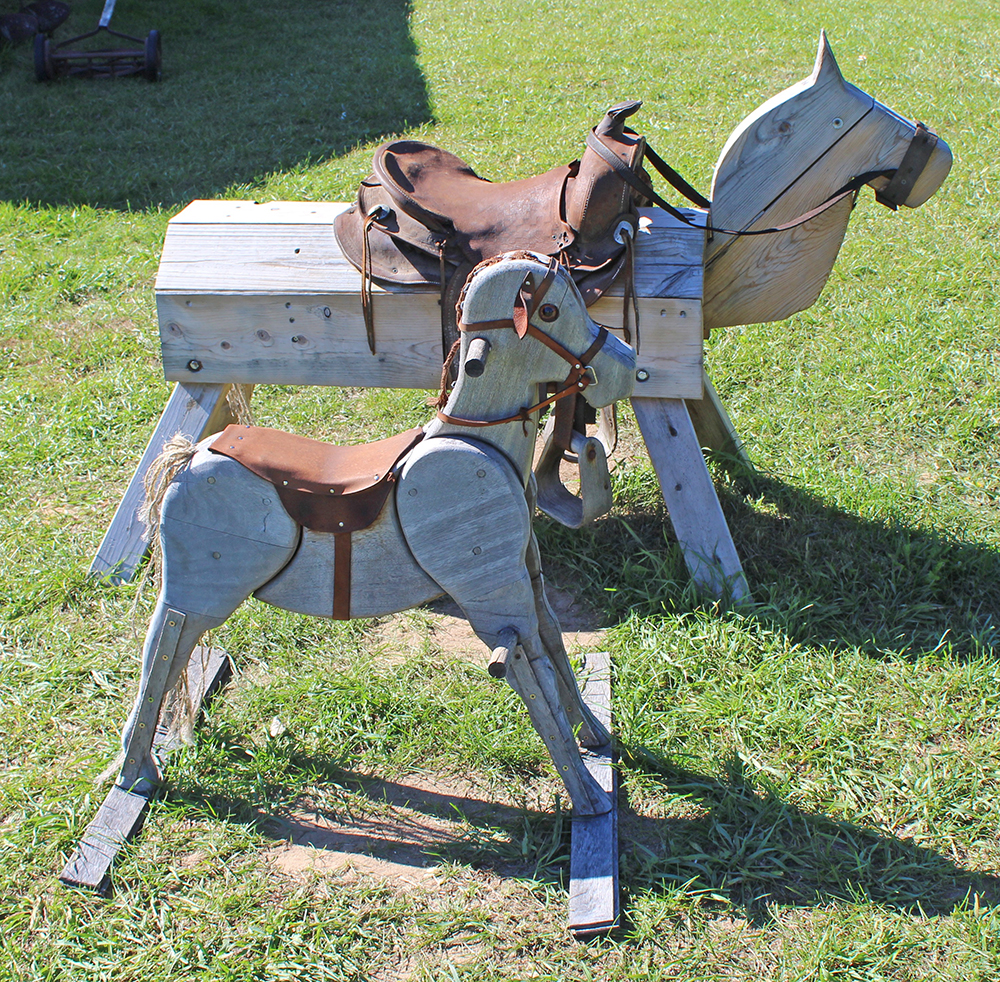
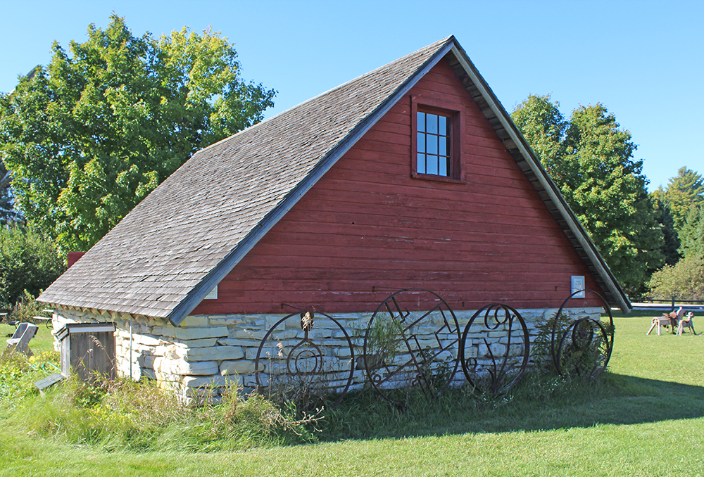
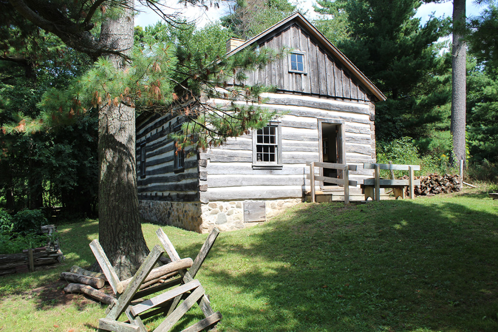
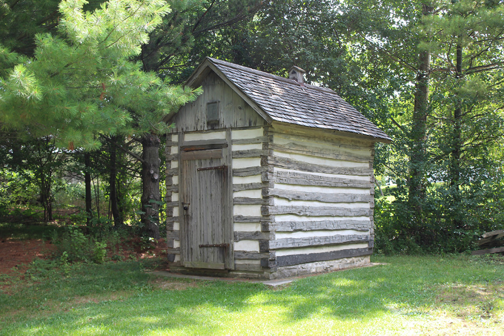
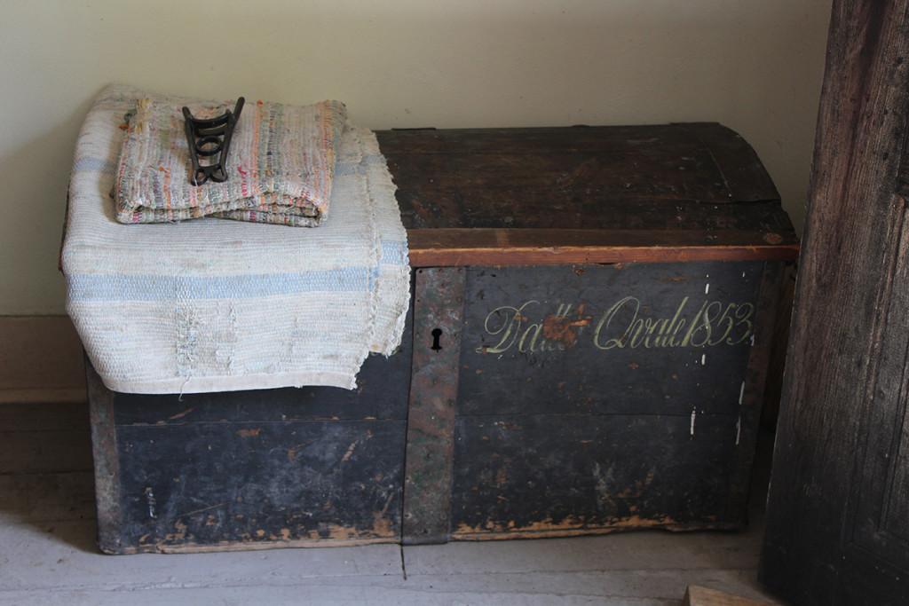
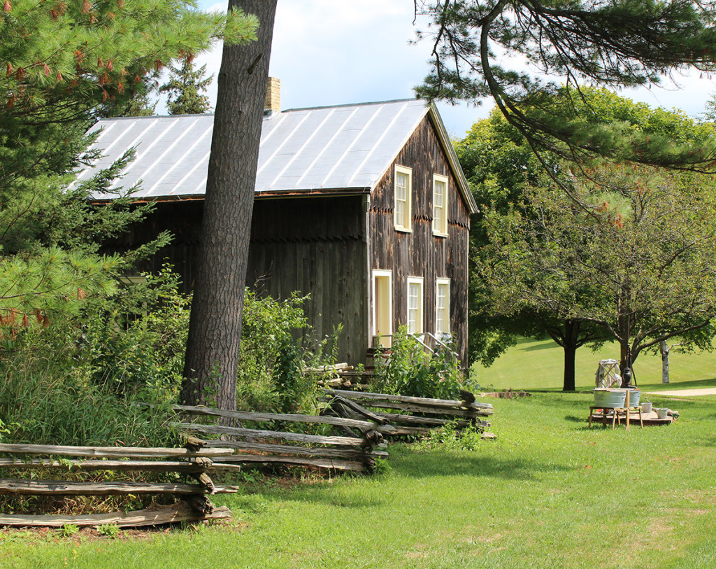
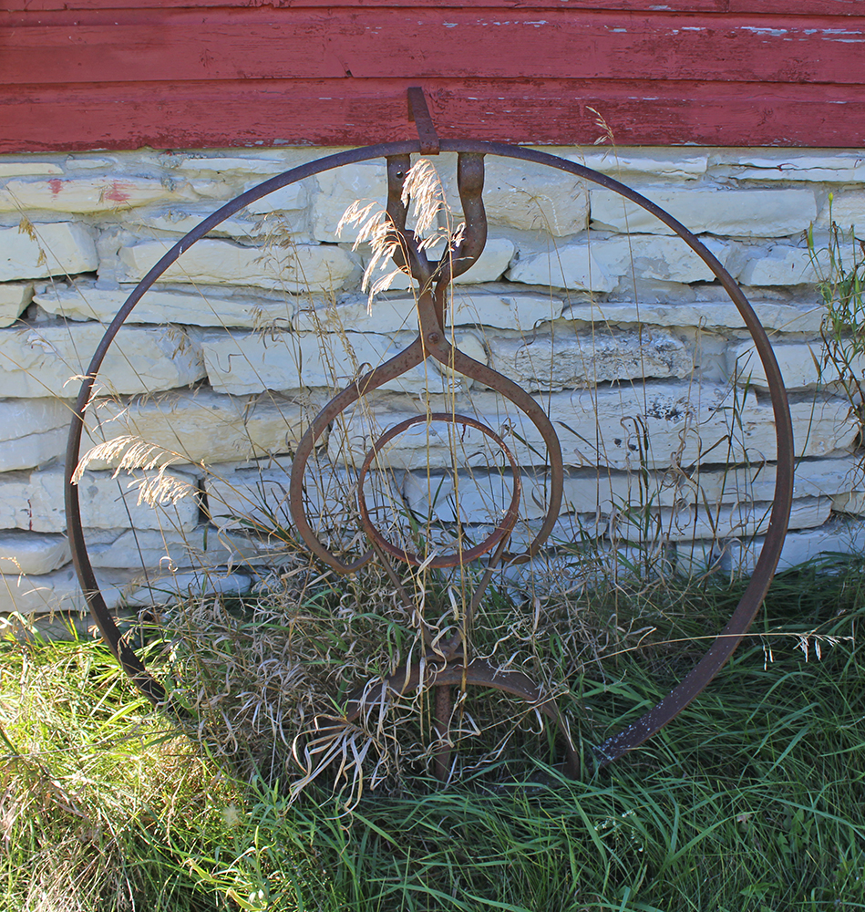
    Next up is the Farm Museum. Pictured above and below, this was a great stop. With lots of old rusty iron objects to photograph, cute wooden horses and loads of history, I couldn’t have loved this stop more.

    “Farm buildings from various locations on the Island were re-assembled here along with old-time farm tools and implements. There is special emphasis on the period from 1870 to 1940.” – READ MORE

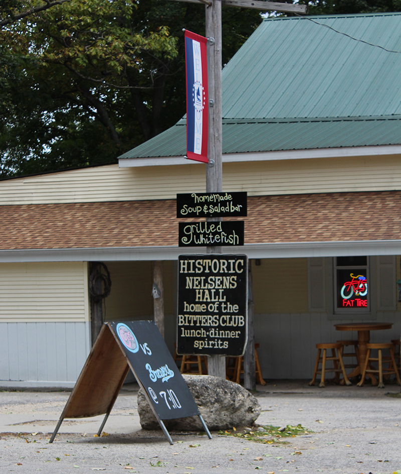
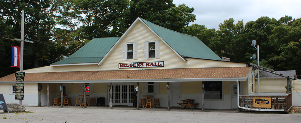
    We slowed down as we passed the Downtown area while our driver told us the story of Nelsen’s Hall.

    Nelsen’s Hall Bitters Pub is the largest purveyor of Angostura Bitters in the world, according to the Guinness Book of Records. Why are they famous for serving up a shot that makes many cringe? The answer dates back to Prohibition, when the United States (quite unsuccessfully) banned the sale, production, and transportation of alcohol from 1920 – 1933. Tom Nelsen, a Danish immigrant built the hall in 1899 and wasn’t about to close his doors. He applied for and was granted a pharmacist license to dispense bitters as a “stomach tonic for medicinal purposes.” Since Angostura Bitters is 90 proof, it’s safe to say that it served as more than a cure for stomachaches.

    The hall remained open during Prohibition, making Nelsen’s the oldest legally continuously operated tavern in the state of Wisconsin. The tavern also served as a movie theater, dentist office, ice cream parlor, and of course, pharmacy.” – READ MORE

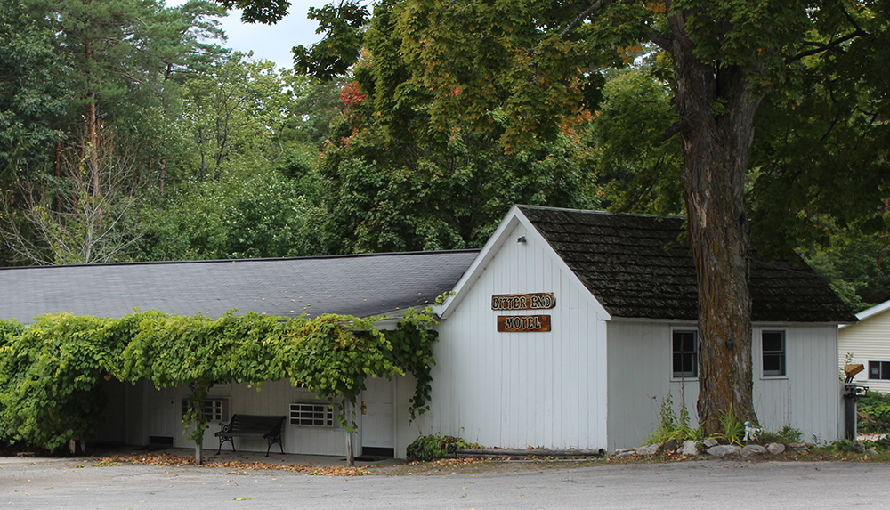
    I couldn’t find anything about the significance of The Bitter End Motel – right next door – other than it must have been pretty handy to be so close to a motel after drinking 90 proof shots. I just loved how the grapevines looked on the side of this historic old motel, so I included it here.

    Next stop was a bonus! The Cherry Train lady said that she didn’t want to get our hopes up, so she didn’t tell us about this stop. Sometimes the parking lot and area around it is so packed with people you can’t get through in our allotted timeframe. Good thing we came on the “off season”, we made the stop and WOW, it was great.

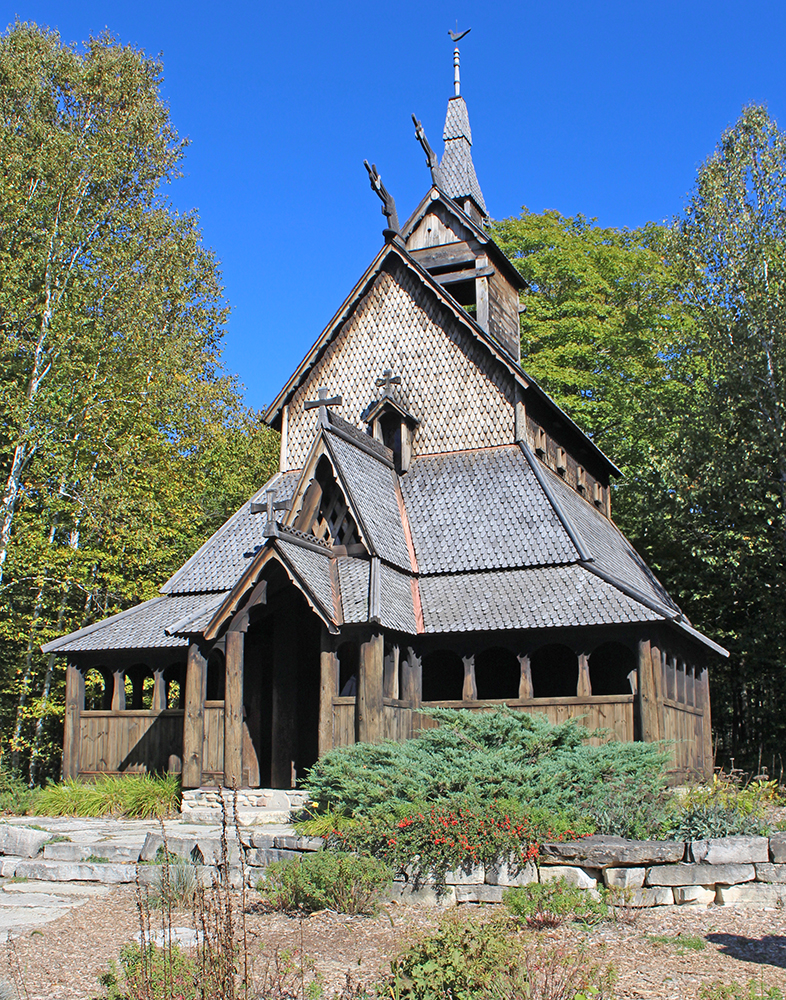
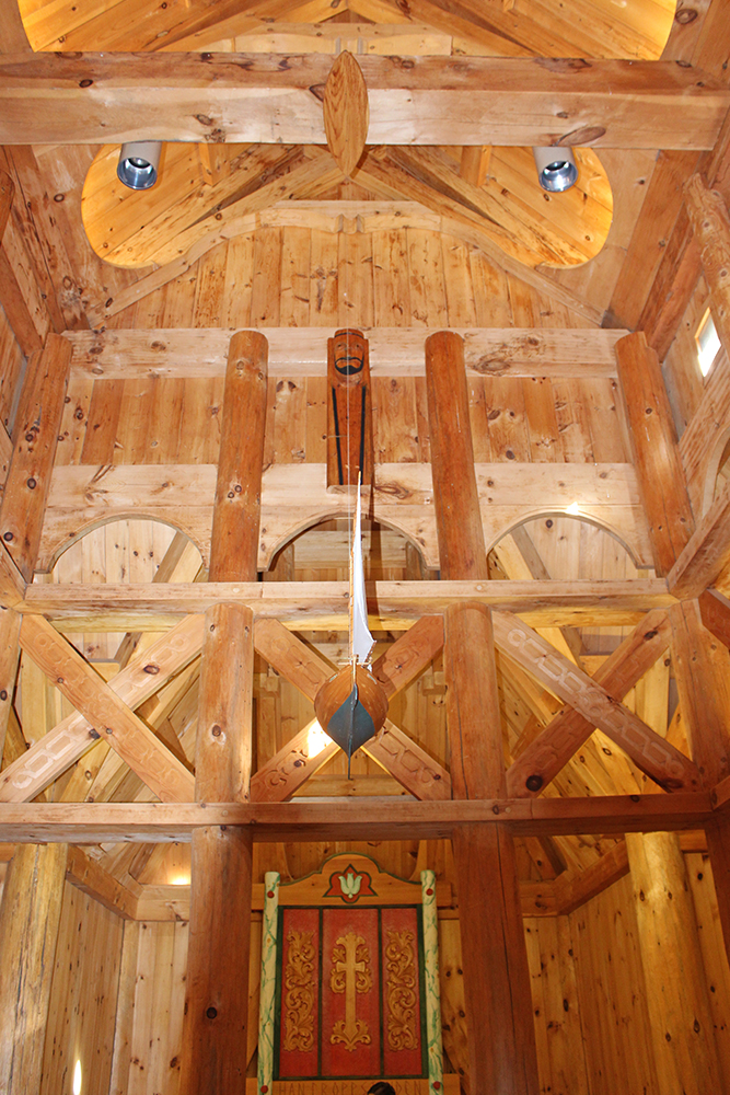
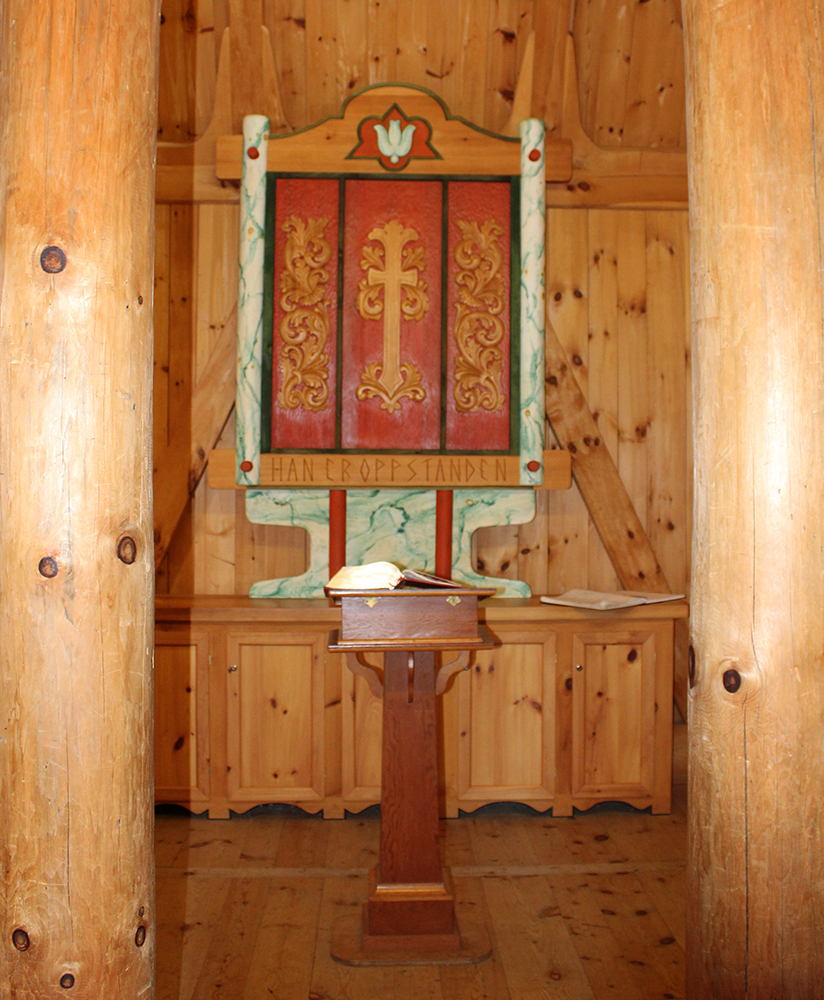
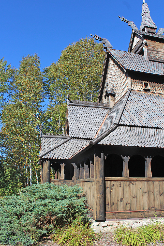
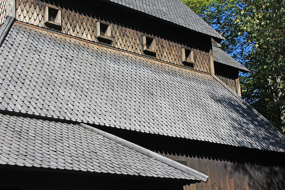
    The Stavkirke Stave Church on Washington Island was built to honor its Scandinavian heritage. Built at 3/4 scale, this church was designed after a church in Borgund, Lærdal, Norway, built in the 12th century and is a medieval wooden Christian church building of post and lintel construction – a type of timber framing.

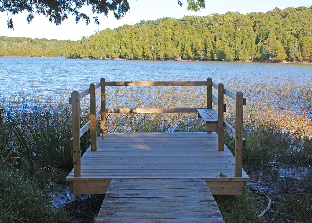
    After we said goodbye to the Cherry Train, back at its depot (the Welcome Center), I headed back to see some of the other things on the Island before I found my accommodations for the next two nights, with my first stop at Little Lake.

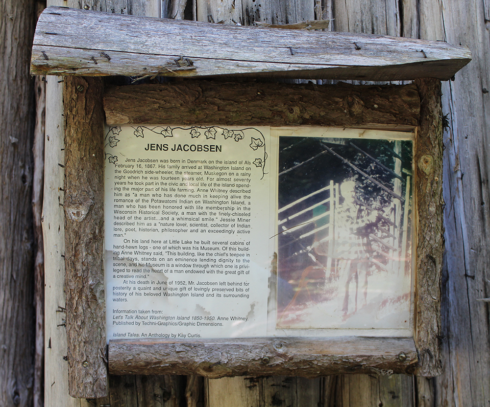
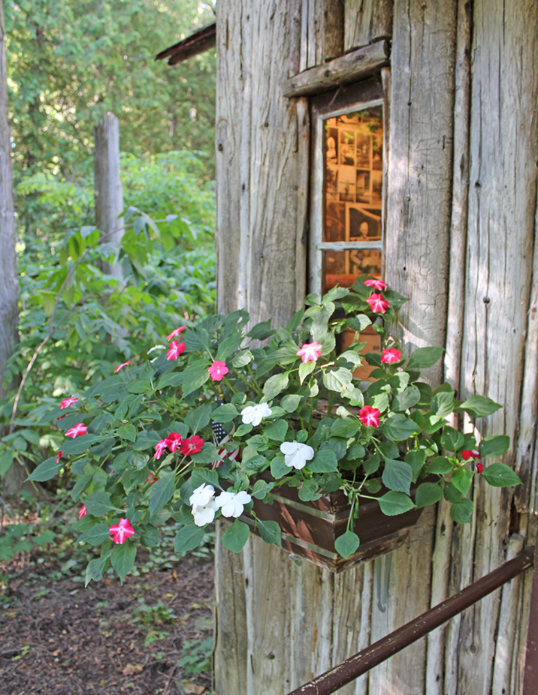
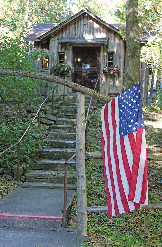
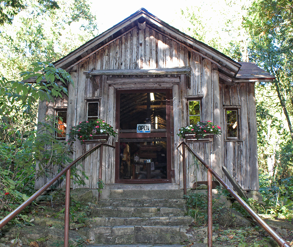
    Right next to Little Lake was the Jacobsen Museum, which was chock full of natural and historical artifacts of the region, with a tour given by a woman who used to know Jens Jacobsen when she was a young child. For more information, read the info in the picture below. This sign was near the entrance to the Museum.

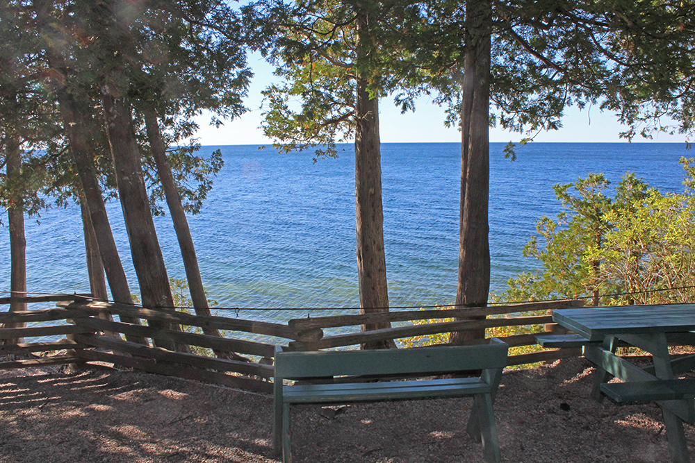
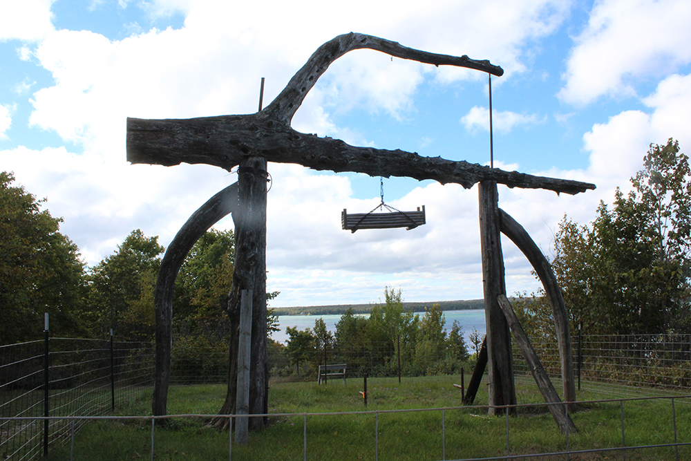
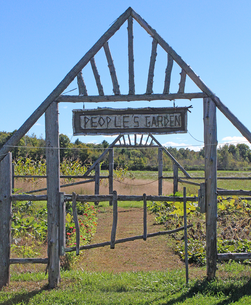
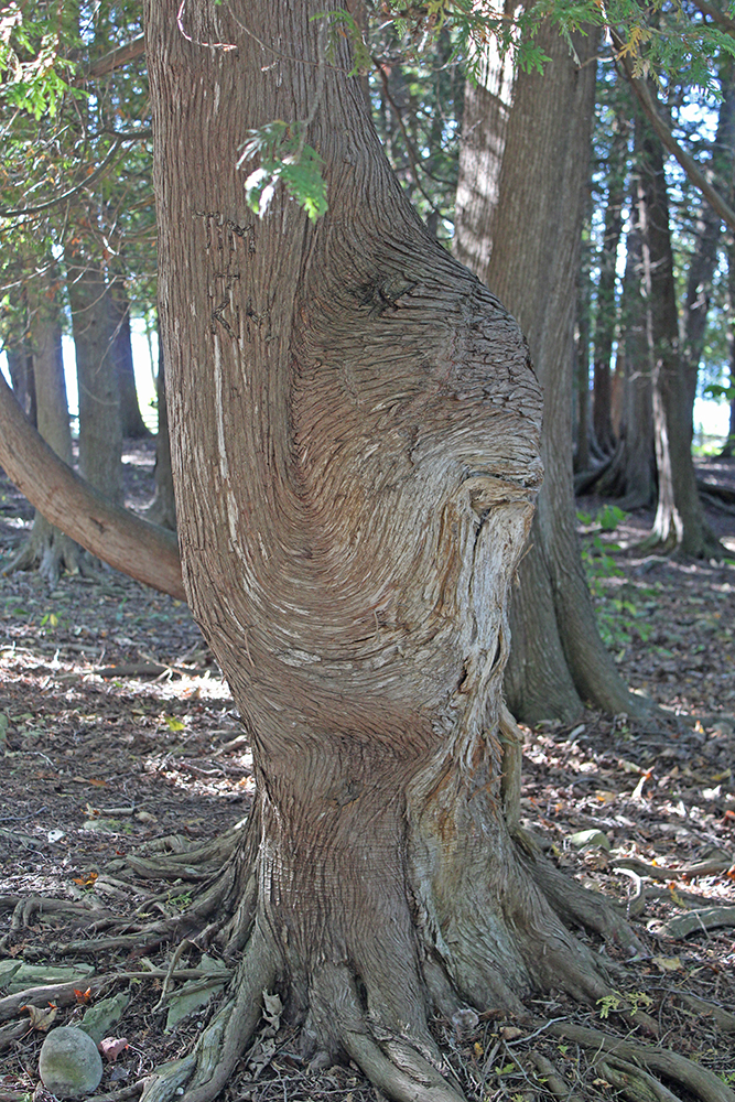
    People’s Park was just up the road. A beautiful day, a beautiful park with awesome views, plenty of picnic tables and a gnarly old tree.

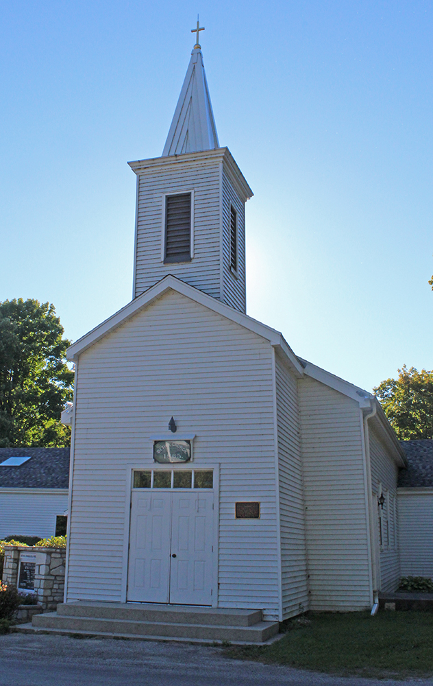
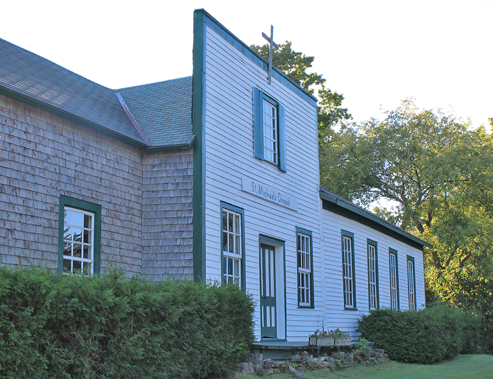
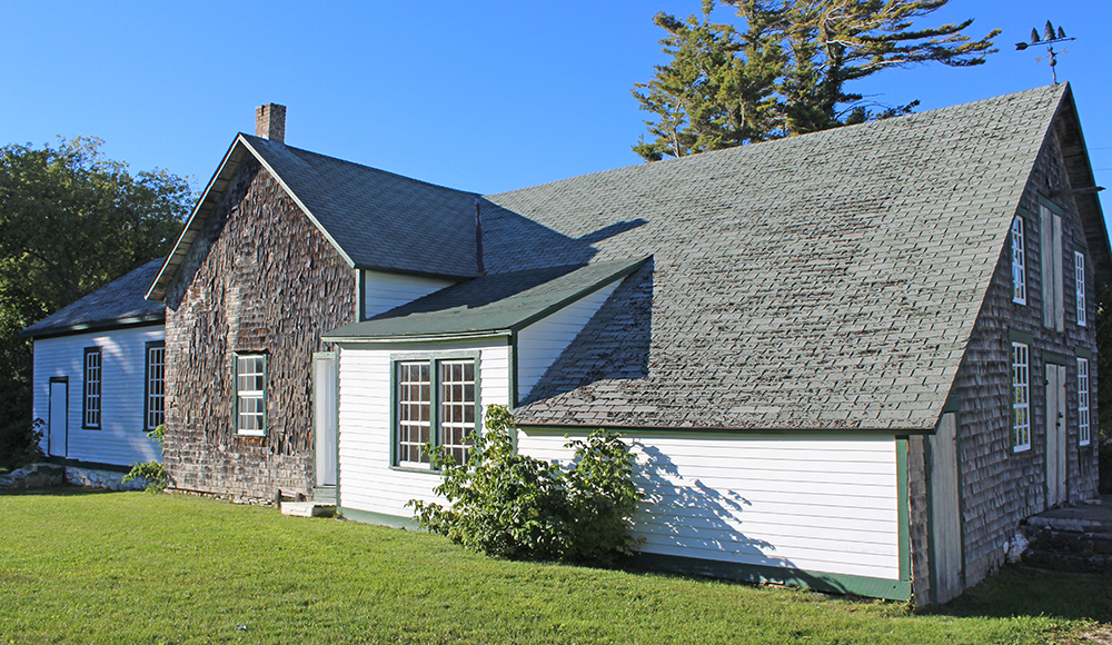
    Below are pictures of the Bethel Church (1865) – the first church on the Island and St. Michael’s Chapel. The building that now houses St. Michael’s Chapel has worn several hats. Originally constructed as the Washington Harbor School in the 1800s, was also a General Store before it’s transformation in 1964 to a Chapel. Although open to the public, no services are actually held here.

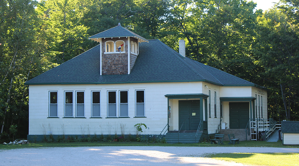
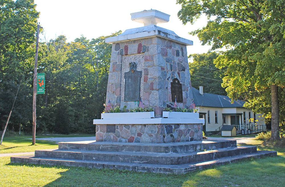
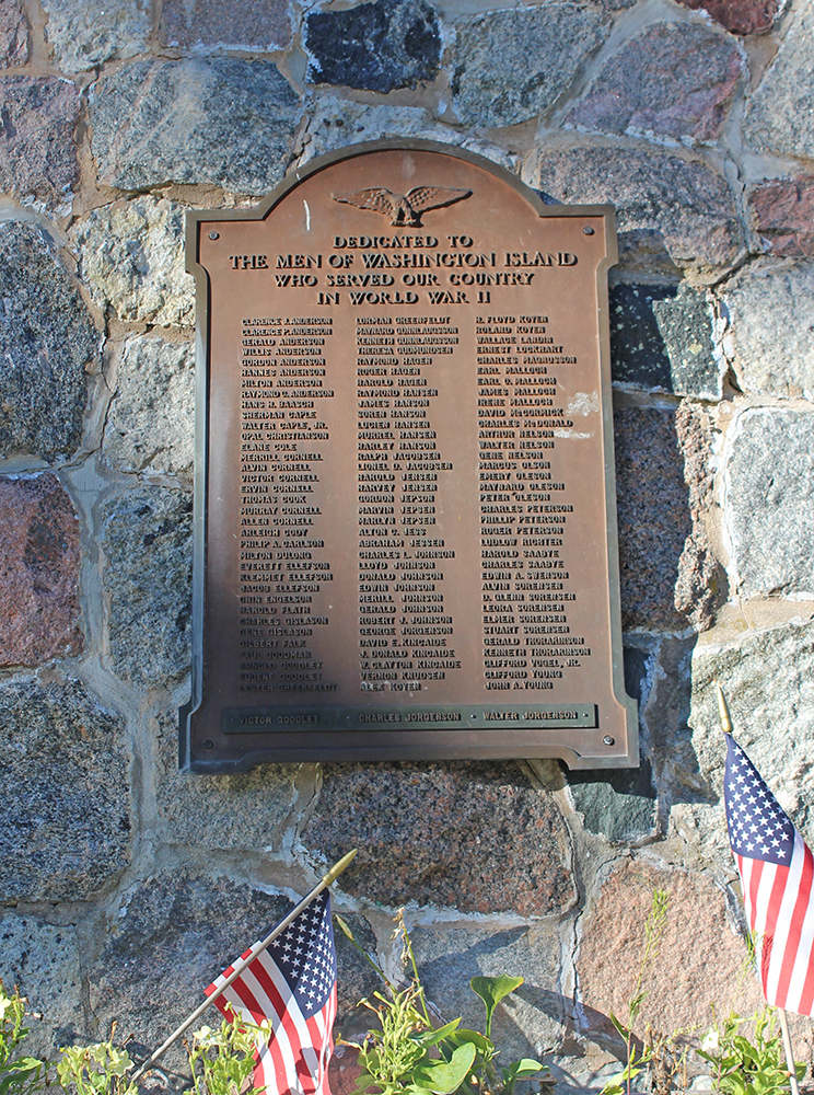
    The Art & Nature Center was one of the schoolhouses used when Washington Island had multiple school districts. Now it is the center for the display of works by local Artists. It also is a place for people to view the island’s unique ecology with plant and animal displays. Visit the website for the Art & Nature Center. Right next to the Center is a Memorial to the World War II Veterans.

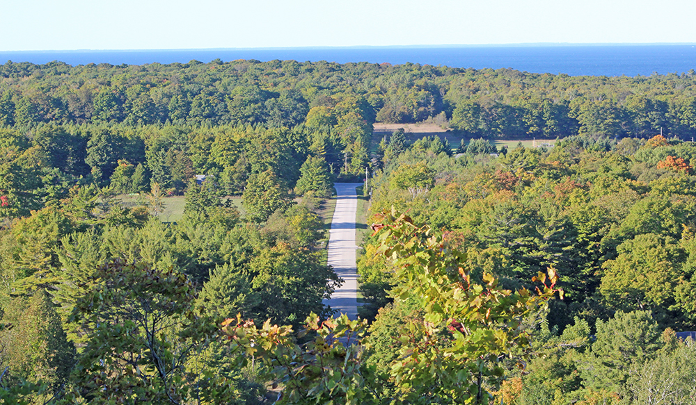
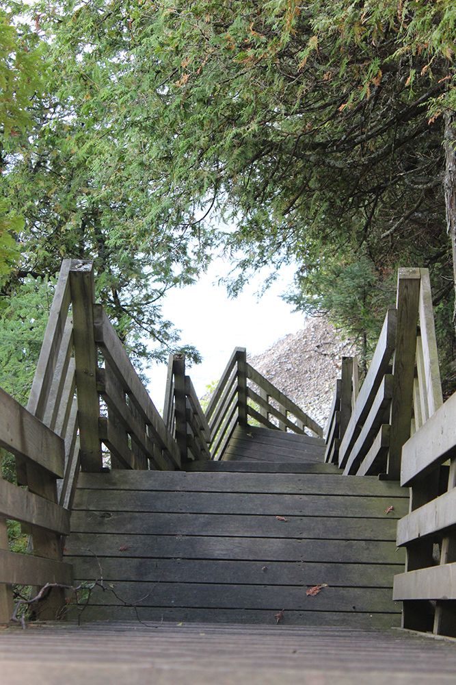
    One last stop at the Mountain Park & Lookout Tower sends you up 186 steps to the top of the Island to enjoy majestic views of the land and water. Wow, what a sight!

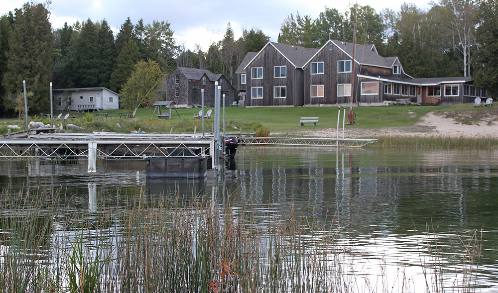
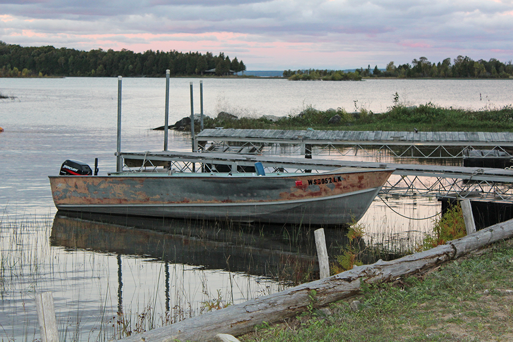
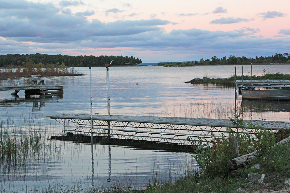
    I decided to stay for two nights at the Sunset Resort, because of it’s great location on the sunset side of the island and because it had private bathrooms, which are rare on the Island. What I found was a beautiful location, a great resort and some very friendly people who have run the resort for years. Traveling alone, it’s nice to feel welcome and safe. Overall it was a great couple of days.

    Phyllis was very friendly and helped me to find a place where I’d feel comfortable dining alone. The result was a fabulous meal, chatting with a fabulous bartender at the Sailor’s Pub, which is close to the ferry landing. I tried a new martini that Alex dreamed up that day (with pear juice, yum!), and my meal also provided left-overs for the next evening, which I stored in the guest refrigerator at the resort.

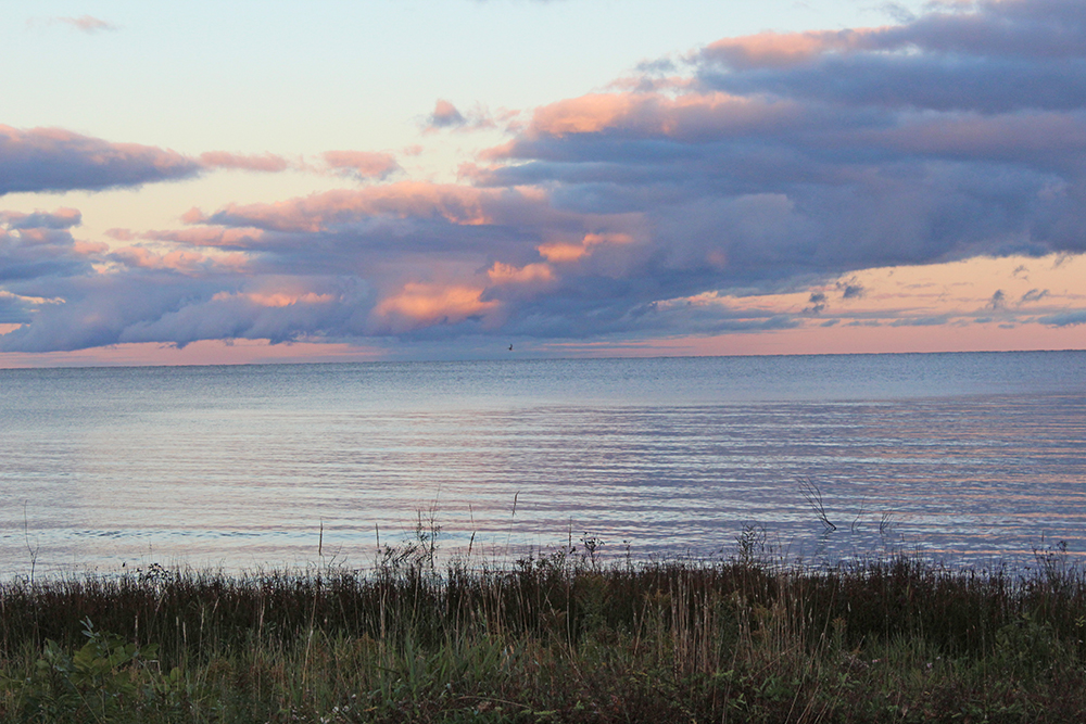
    I was very excited to see my first sunset on Washington Island and then catch some ZZZs. I was pooped after such a full day. But as it turned out, there couldn’t have been a more boring sunset had I ordered one up. Good thing I got to bed early and then rose early, because the sunRISE was something to see.

    Washington Island

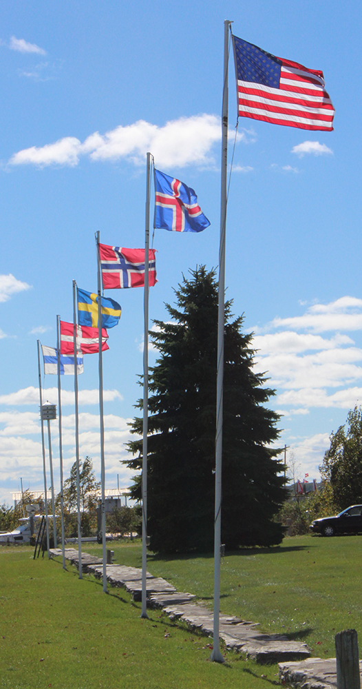
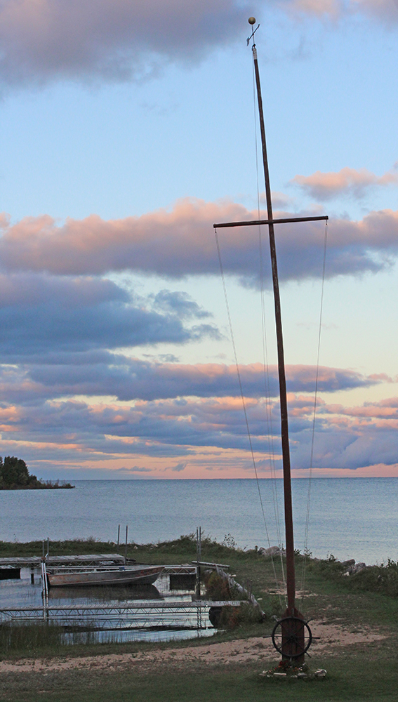
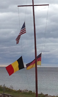
    The Sunset Resort has over 25 flags from different countries around the world. There are four or five that are permanent fixtures in the front of the resort and more in the back, near the water that they switch out. The first night, I met a couple at the resort from Wales and when I said I was from Belgium, we all laughed that we had such a worldly group there that night, even though our hometowns of Wales and Belgium were both in Wisconsin.

    It always pays to chat with the folks “in the know”, because the next morning, I asked the purveyor how he decides which flags to put up each day. He wasn’t sure, he thought it was just random and mentioned that today’s flags were Belgium (left) and Germany (right). It may have been random, but I like to think that it was just for me. They must not have owned a flag from Wales.

    Thanks to Lee, another of the outstanding folks at the Sunset Resort for helping me get a little more information on the limestone rocks that come ashore on Schoolhouse Beach. I always make a habit of taking a quick photo of any placards or DNR information that I can reference when I get home and start on the blog. One of my photos was cut off and I couldn’t see the last of what was written. I called the resort and Lee made a stop and emailed me pictures, so I could finish the quotes about the Limestone rocks. Thanks so much for the pictures, and for the wonderful stay Lee! I will be back!

    Next up: Newport State Park

    Happy trails,
    Barb

  • Rock Island

    Rock Island

    OK, the plan was to start in southern Door County and work up to the northern point, but I just can’t wait. I’m starting at the top with Rock Island and will work my way down instead. I know, I know you should save the best for last, but hey – it’s my blog and I want to apologize for a lapse in posts. Real (paying) work has put a crimp in my free time for blogging. I say that with lots of mixed emotions.

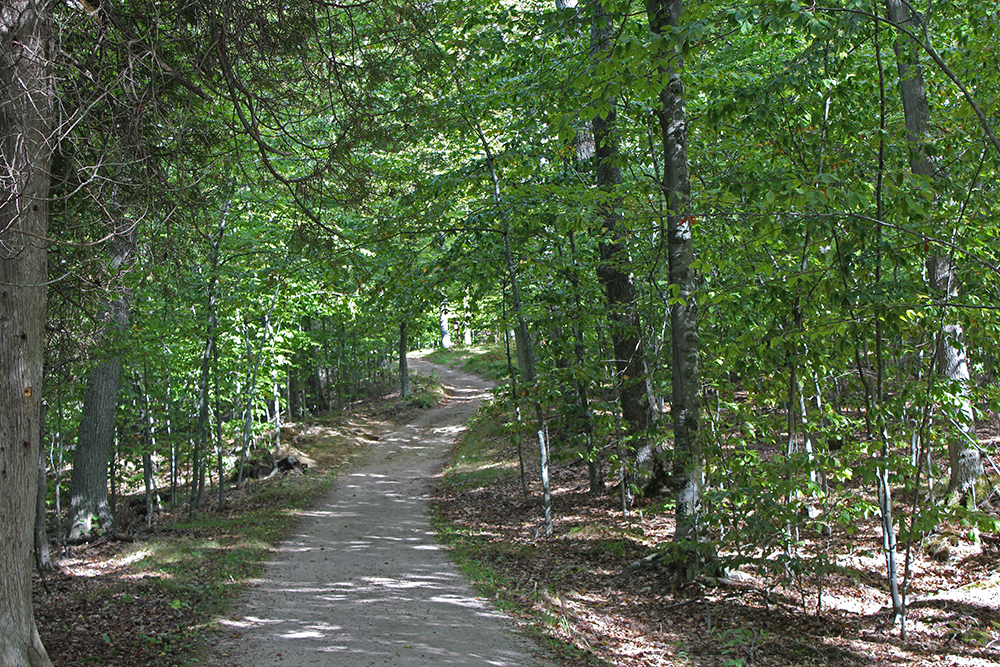
    From Washington Island, it’s only about six miles to Rock Island – by ferry of course. Most of its 912 acres are owned and managed by the Wisconsin DNR as Rock Island State Park. Rock Island is Wisconsin’s most isolated park – very wooded and largely undisturbed. There are about 40 pretty rustic campsites. With no cars or bikes allowed, there are about 6-1/2 miles of well-maintained walking trails all the way around the island, as well as another 6 miles that zig-zag across it.

    A little history.
    In 1910, much of the island became the summer estate of Chester Thordarson, a wealthy inventor who made his fortune as a pioneer in the field of high-voltage electrical equipment. Born in Iceland in 1868, the Icelandic community on Washington Island must have felt a little like home, so he purchased 775 acres on nearby Rock Island for $5,375.

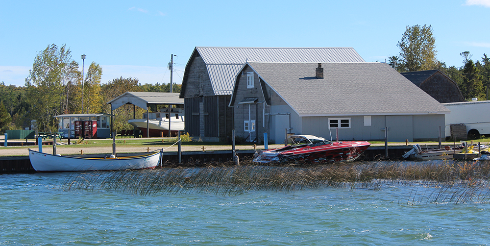
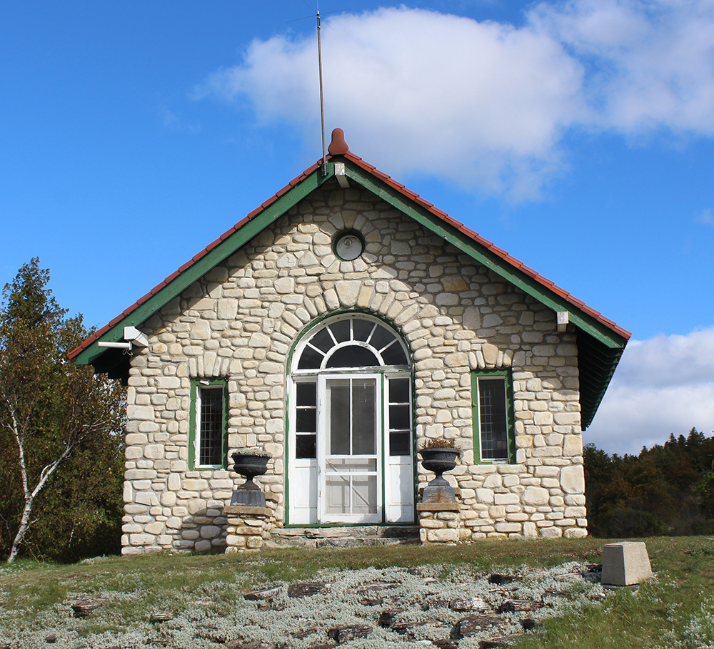
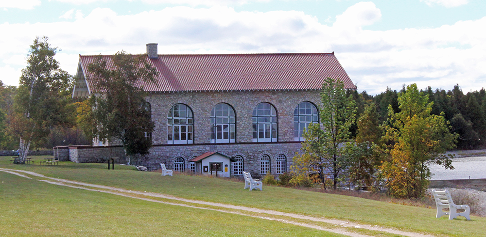
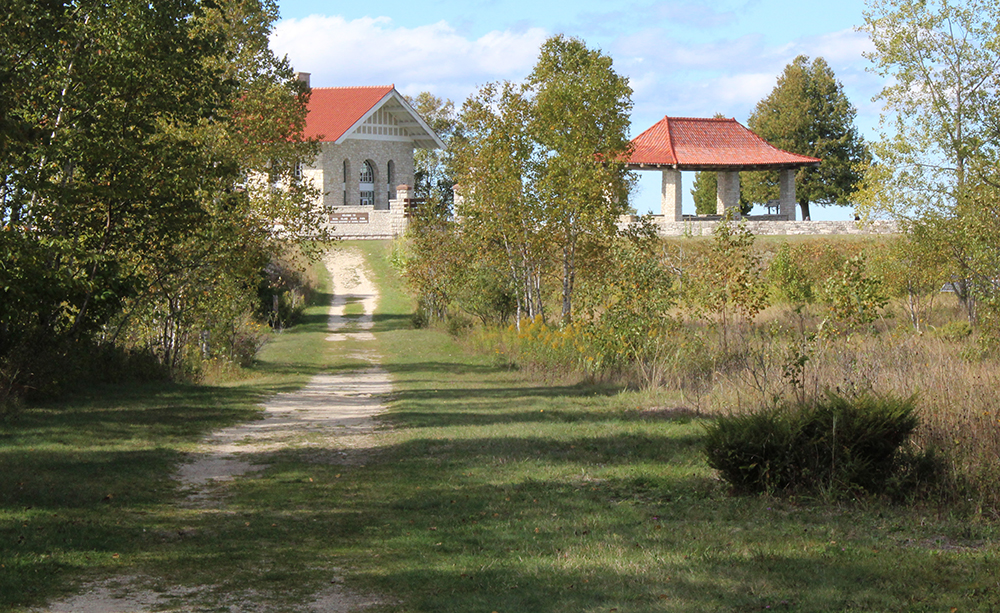
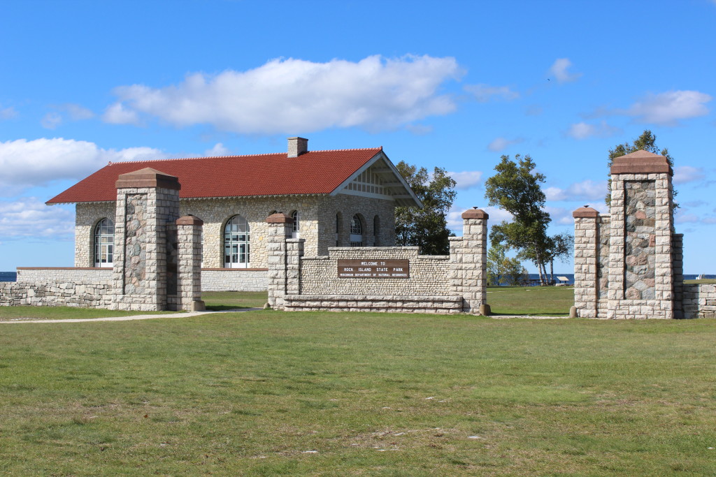
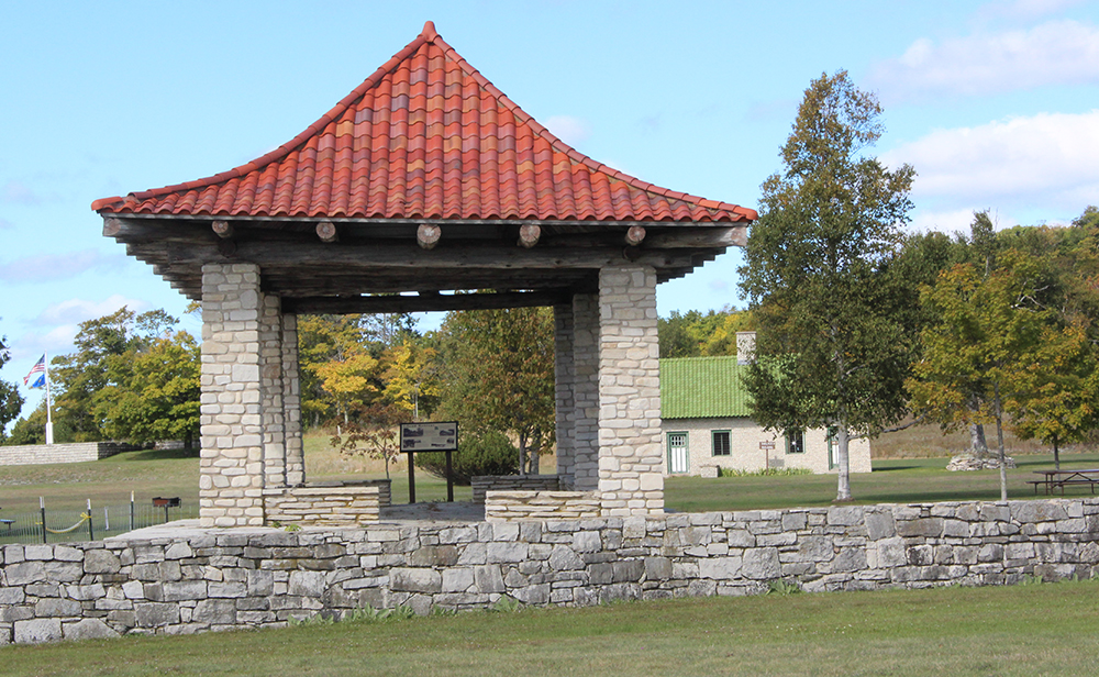
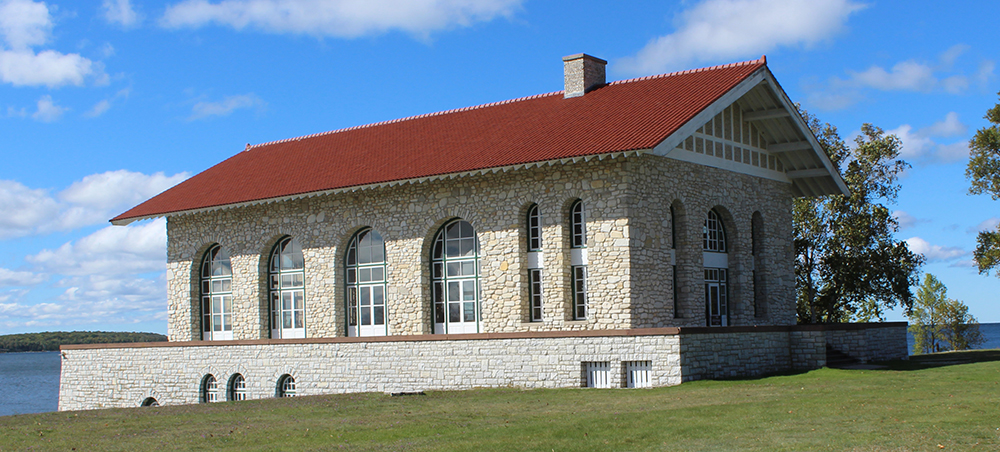
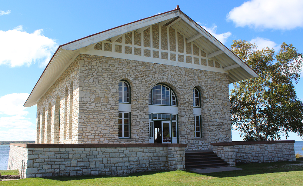
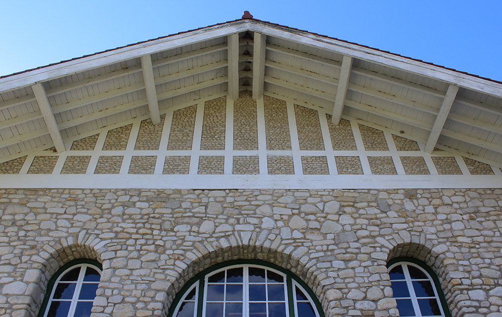
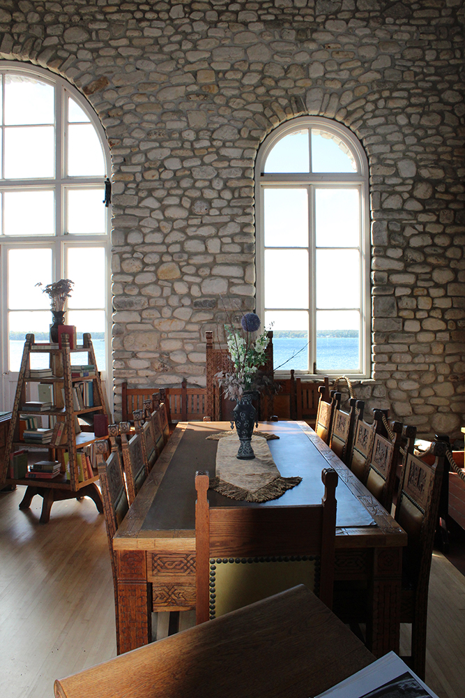
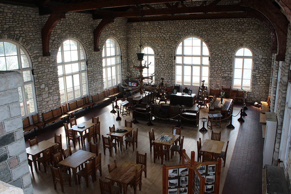
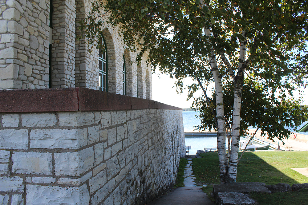
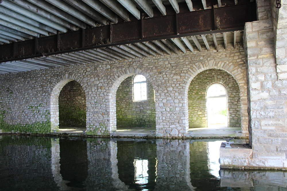
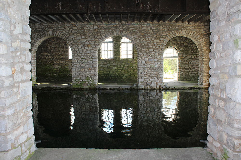
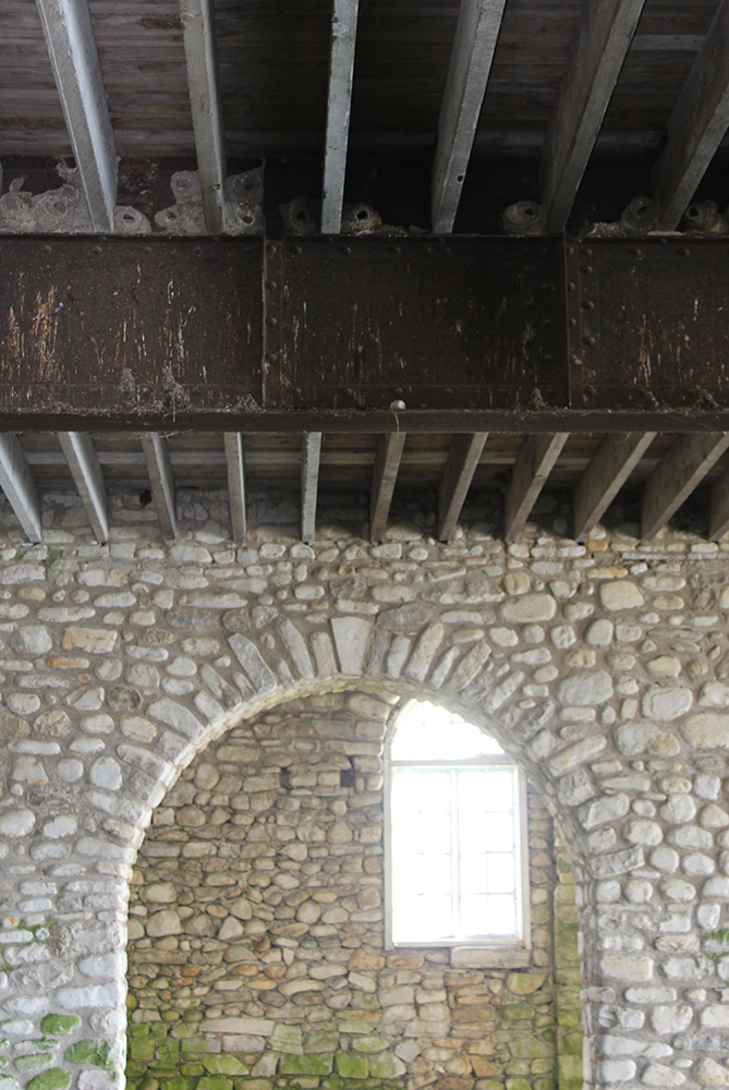
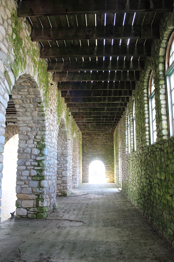
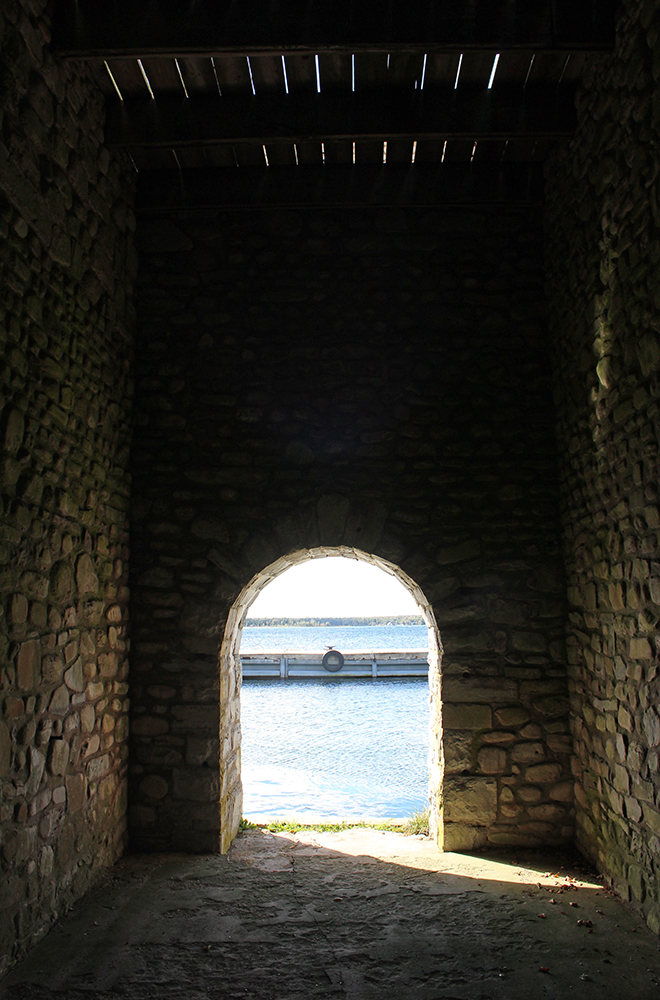
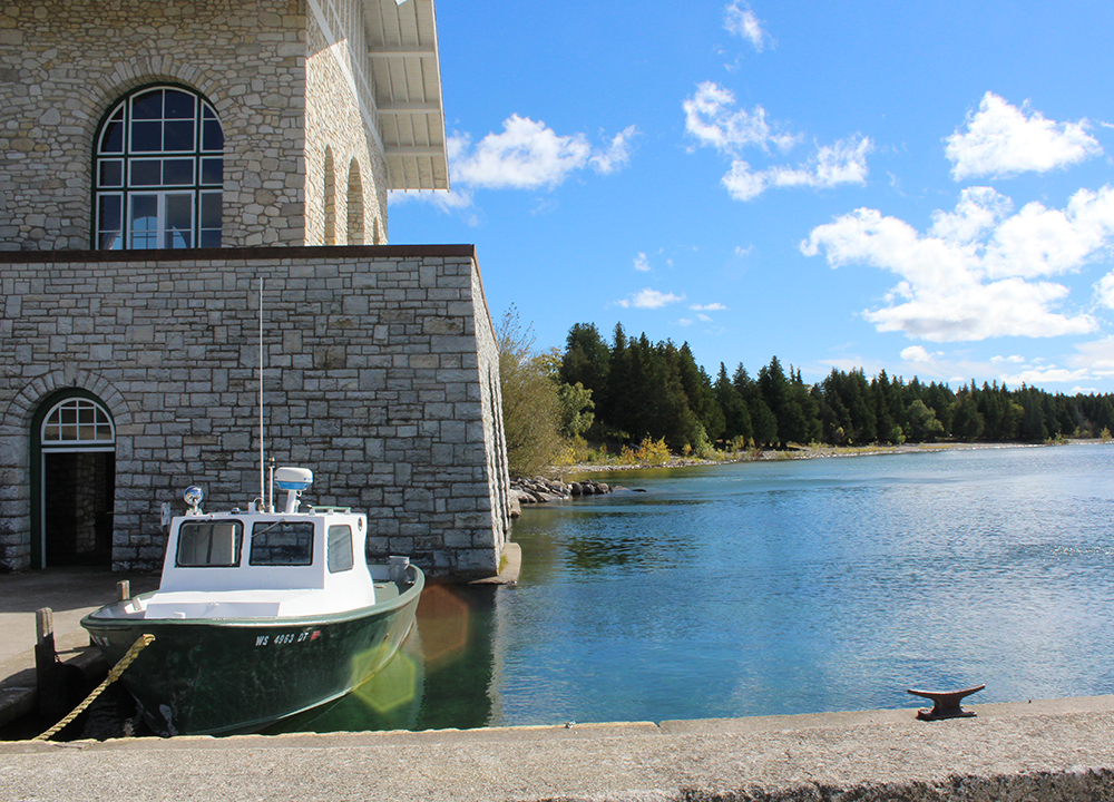
    In the 1920’s he built the Viking Hall and Boathouse. With its massive presence and beautiful red roof it makes quite an impression as you approach from the water. He built many other fabulous structures from local limestone, but the mansion that he planned for his wife on the east side of the island was never built. He was a nature lover and left the greater share of the island untouched. Wisconsin acquired the island in 1964 from his estate to become Rock Island State Park. I have pictures of some of the buildings and a little history, as well as a tale or two.

    Onto the ferry!
    Because my trip was so late in the season, the first ferry to Rock Island – Karfi Ferry – was not till 10am and there would only be three ferries returning to Washington Island at 12:15, 2:15 and – since I didn’t bring my camping gear – 4:15. I’m not that fast of a walker these days and I knew I would be taking lots of pictures, so I knew that 6-1/2 miles was not going to get walked by me today. Just how much of this island I would be checking out remained to be seen.

    The day started out cloudy, cold and VERY windy. As I boarded the open-air ferry for Rock Island with my four layers, I was thinking about heading for my trunk for a fifth, but put on my gloves instead. The ride over was freezing and very choppy and I had doubts about my decision to make the trip at all. Once on the other side, things changed considerably – and it turned out to be a fabulous day.

    The pictures above (notice the blue skies?) were taken after our return. Quite an improvement from when we left. Although still pretty windy, at least the sun was shining. The area around the ferry landing was really quite beautiful.

    Since Rock Island is relatively close, you can see the boathouse from Washington Island. I had heard a lot about the boathouse, but I’ve seen a lot of boathouses. What could be so great about this one? Check out the picture at the top for a glimpse, but I’ll go with my normal m.o. and save the best for last.

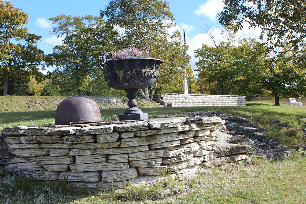
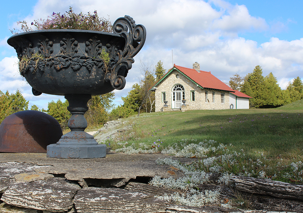
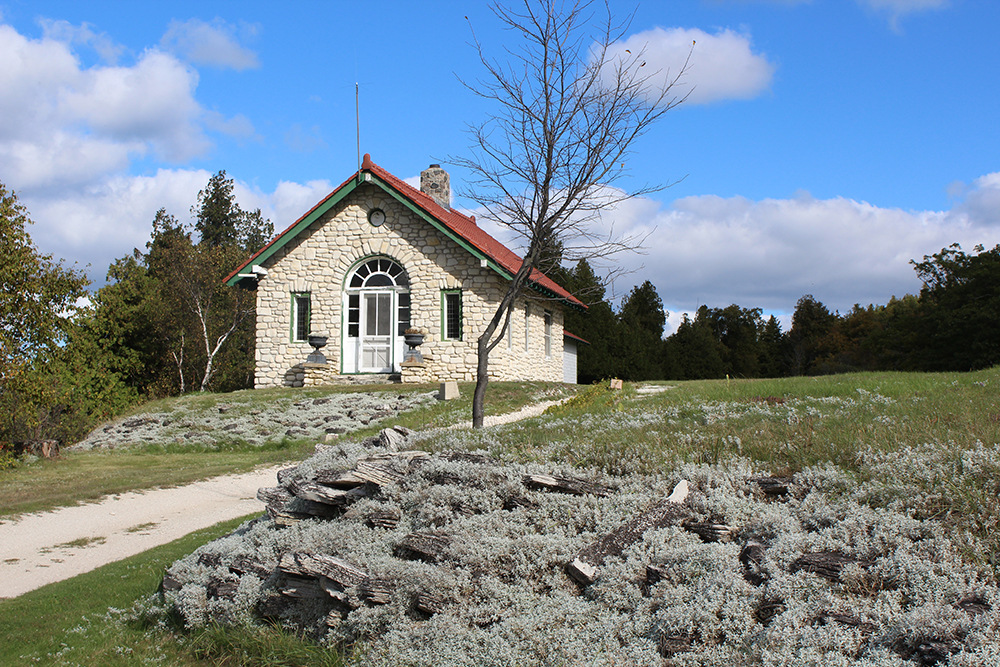
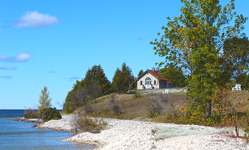
    First sights were a cool urn-full of flowers on a wall of rock and the Ranger’s Residence, which sits quite beautifully up high for a bird’s-eye view. And looking back – there’s that boathouse again!

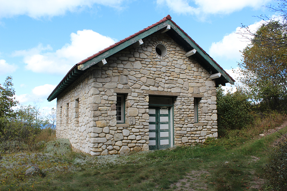
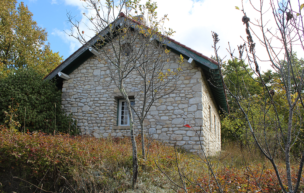
    Next up is the water reservoir. Chatting with a maintenance man at the boathouse, apparently this building with it’s reservoir replaced the water tower that still stands on the east side of the island. I guess Chester and his wife wanted to build their house on the eastern side of the island, but then thought better of that once they realized it was much closer to Washington Island from the western side. I didn’t make it that far, so I have no pictures of the water tower, but this building was really cool.

    Just past that is all that remains of a Japanese Garden that Thordarson had built. Apparently quite lavish at the time, he had it bulldozed after Japan attacked Pearl Harbor.

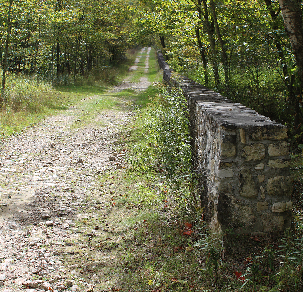
    The walk to the lighthouse started out a little steep, but leveled out nicely.

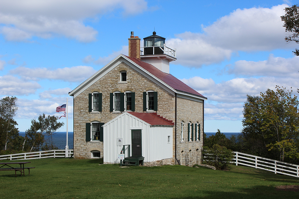
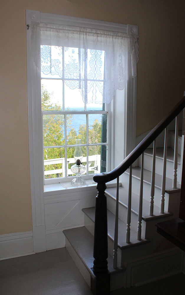
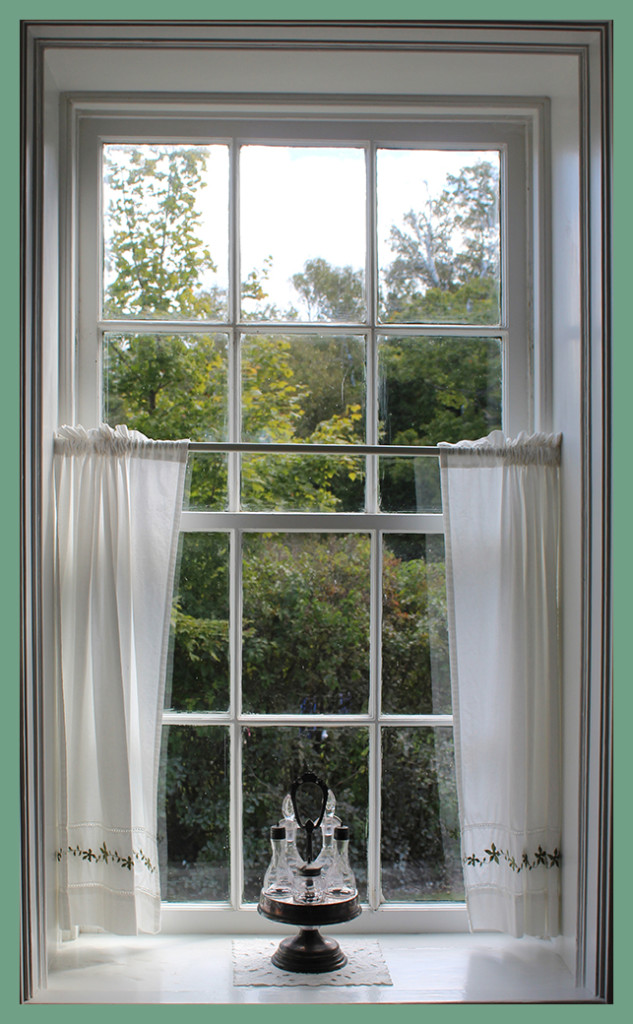
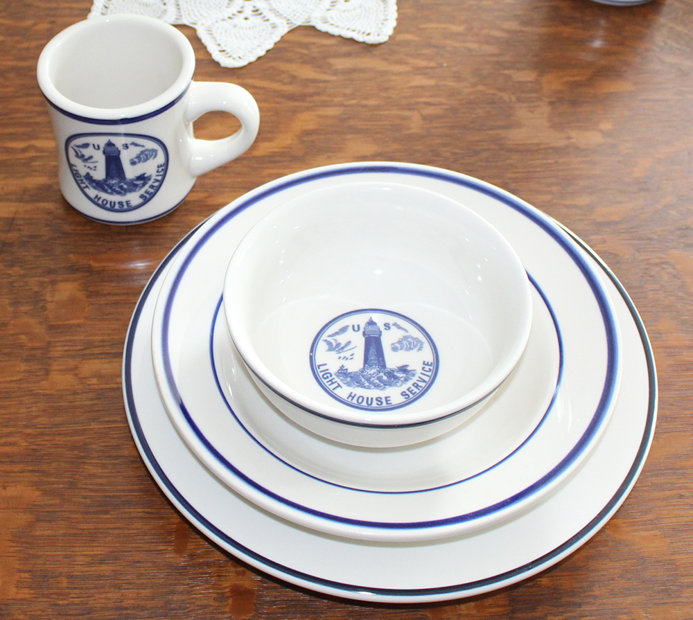
    The Pottawatomie Light is a lovely sight. The original lighthouse – lit in 1836 – is the oldest light station in Wisconsin and on Lake Michigan. The existing structure replaced the original in 1850 after some crumbling began. In 2004, the “Friends of Rock Island” restored it, painting walls with cheerful colors and adding furnishings that were typical in 1910. Even though the lighthouse opened many years earlier, 1910 was when there was finally a well on property, which meant no more trips to the lake for water. The “Friends” recruit volunteer docents to live there for a week at a time in summer and keep it open for tourists. Since I’m a little pokey, the larger group of folks went through just before me. When I arrived, I had my tour guide all to myself. It amazes me the dedication of the lighthouse keepers – and their families – working so hard to keep ships safe in the treacherous waters of Lake Michigan.

    “Rock Island Passage, bounded by Rock Island on the south and St. Martin Island on the north, is the widest passage connecting Green Bay and Lake Michigan. In 1832, thirty Detroit merchants, masters, and owners of vessels petitioned Congress for a light to mark the southern side of Rock Island Passage claiming, “There is no point on the Northern Lakes, where in the opinion of your Memorialists, a light house is more imperiously required than this.”” – READ MORE

    Manning this lighthouse also meant keeping track of the number of ships that traveled through the passage between Rock and St. Martin Islands. Although sometimes a little further to travel, this passage was wider and way more appealing than the route that passed between the tip of the mainland and a group of islands, which includes Washington Island. Known as “Death’s Door” (also known as the Door of Death), that passage gave Door County its name.

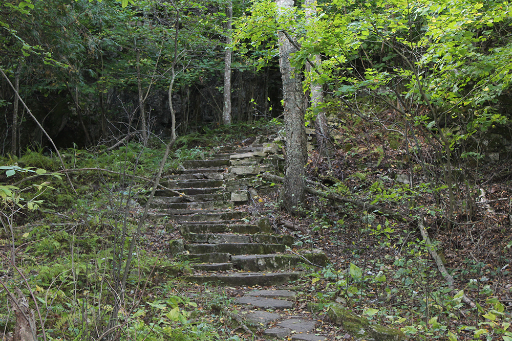
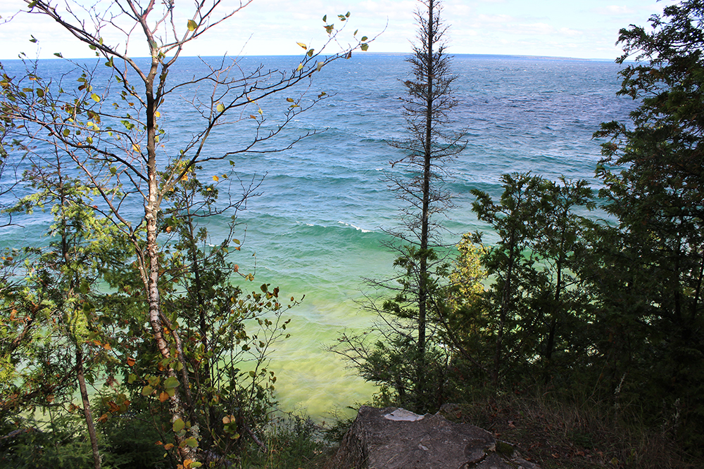
    Just to the right of the lighthouse, there was a trail that lead to the beach. I took the rock and log stairs and the trail to the steps, but waves were crashing below, so I opted to skip the actual steps that went down to the lake. The view from above was very pretty and good enough for me! Just a note: the trail continues past this view to another scenic overlook and a cemetery, which would have been great. I went back to the lighthouse and back out to the trail thinking that was the way to those stops, but it wasn’t, so that will leave something else to see when hubby comes next time.

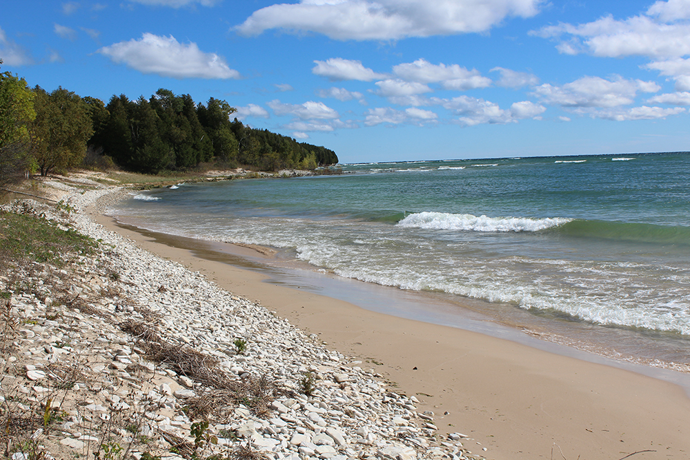
    Since toodling to the lighthouse, with a tour and stops along the way took me TWO hours, I decided to head back down the way I came for a while and catch one of the shortcut trails. I found access to a beautiful sandy beach, which was a very nice stop past a rutabaga field of all things!

    I had thought about spending the entire six hours exploring, but I was feeling it at about hour three and decided to finish up at the boathouse and catch the 2:15 ferry back. I have to leave some stuff to see when my husband comes with me next time, right?

    The closer I got to this infamous boathouse, the more impressed I was. Since Chester Thordarson was born in Iceland, he built this fabulous Viking Hall Boathouse to stand as a monument to a rich history of Icelandic folklore. I’m not gonna say another thing, just show you the pictures! Hover over the photos for a caption, if available.

    And that about does it for this day. We have been coming to Door County for years and have never gone to Washington Island, let alone Rock Island. I am so glad that I started this blog. I have good reason to explore the places I’ve never been before. And I hope you find a good reason to visit as well!

    Next up: Washington Island

    Happy trails,
    Barb
  • On the Road Again

    On the Road Again

    Willie NelsonThis post is a mish-mash of random stuff I saw while taking the scenic route to Door County a couple weeks ago. I’ve included some traveling music to get your toe tapping, so if you love Willie Nelson, click HERE and tap along!

    Usually when we go to Door County we take the interstate through Green Bay and don’t start experiencing “The Door” until about Sturgeon Bay. This trip I decided I was going to meander up there and get as close to Lake Michigan as the roads would let me with several stops to gawk along the way. After a great stop at Pinecrest Historical Village I headed back east to the lake and Manitowoc, so I could head north again on 42.

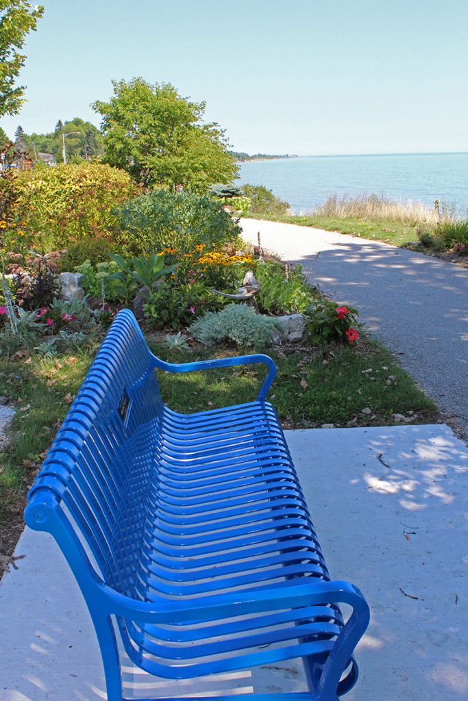
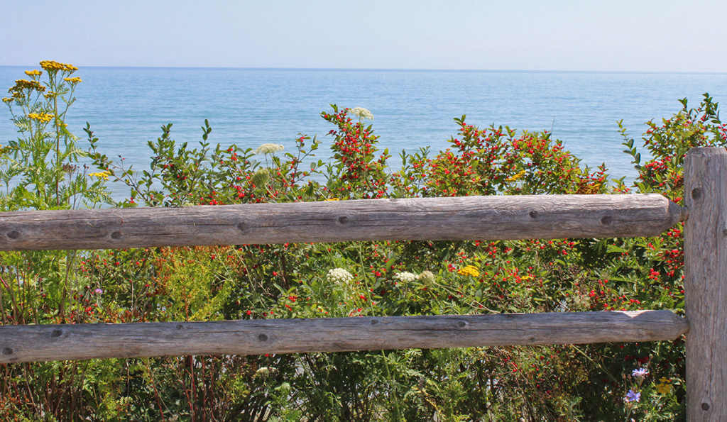
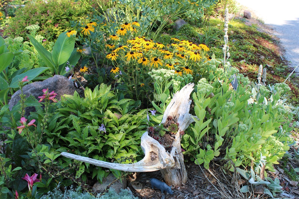
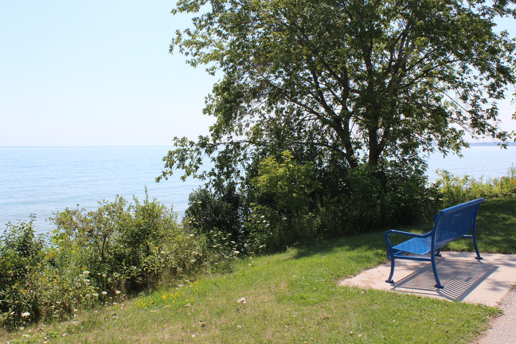
    Almost immediately I started noticing lots of pullouts to stop and check out the views. Park benches were surrounded by beautiful gardens and a bike trail ran all along the lake for as far as the eye could see. Turns out The Mariners Trail is seven miles of wonderful blacktop running along Lake Michigan connecting Manitowoc and Two Rivers. Lots of folks were walking, biking and even roller skating along the beautiful shoreline with the lake breeze to cool them down. A group called Friends of the Mariners Trail help to keep the trail maintained. For information on how you can help this worthy cause, click on the link. Below are a few pictures, showing how great it might be to bring a book and relax for a while or dust off your bike and take a ride.

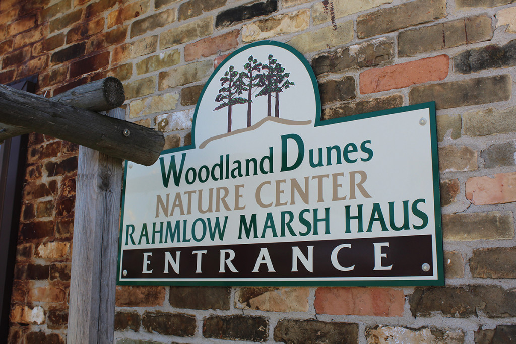
    Next stop is Woodland Dunes Nature Center, a 1300-acre preserve just west of 42 in Two Rivers. Along with a butterfly garden, trails to hike, an interpretive display and a Little Wings nature play area for the kiddos, this place was pretty cool. Most of the trails are less than a mile, with the exception of the Ice Age Trail Woodland Dunes segment, which is 2.25 miles. “This segment of the Ice Age Trail runs through the Woodland Dunes Preserve and is concurrent with Trillium Trail for part of its length. It is marked by yellow blazes. Unlike other Woodland Dunes trails, the Ice Age Trail is open to dogs on leash, however, they must stay on the trail.”

    The best thing was the Osprey nest perched high on a platform just outside the nature center. On the TV inside you can see what’s going on in the nest at any given time via a camera mounted close by. You can also see the Ospreys online by clicking here! When I visited at the end of August, the parents had already left the nest. One of the nearly full-grown youngsters left to fend for itself was not there, but the other had just returned with some lunch, so I watched him enjoy it in awe. I am not sure how long they stay in their nest – they may be gone now for good, but next spring be sure to check it out!

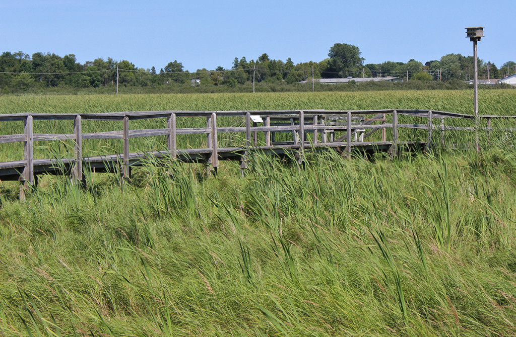
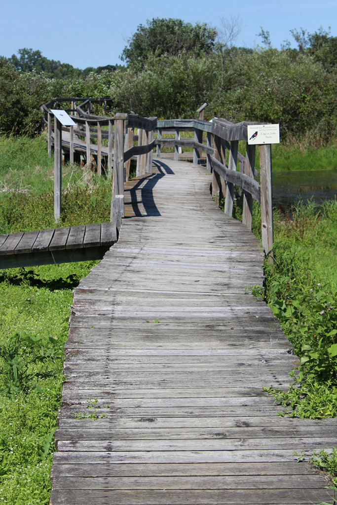
    Since I was mostly just passing through and I have a thing for cattails swaying in the wind, I walked the Cattail Trail (0.3 mile). The beautiful boardwalk meanders through a shrub swamp, a sedge meadow and a cattail marsh where birds and wetland animals live or visit. Signs along the trail help you pick out plants and animals that may be found there.

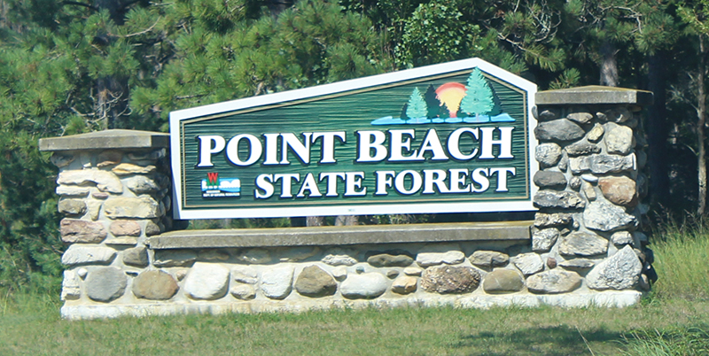
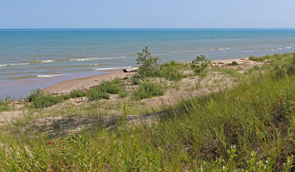
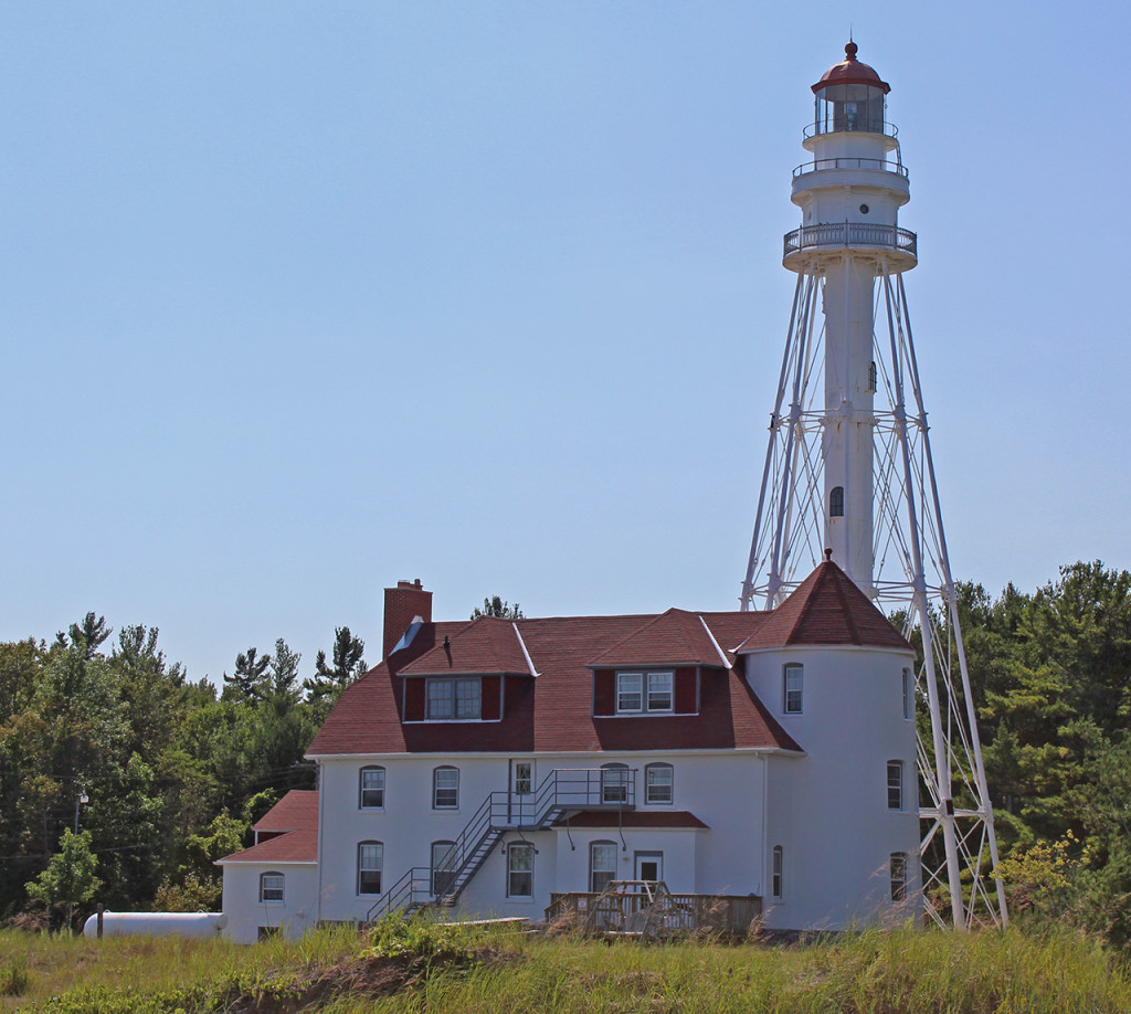
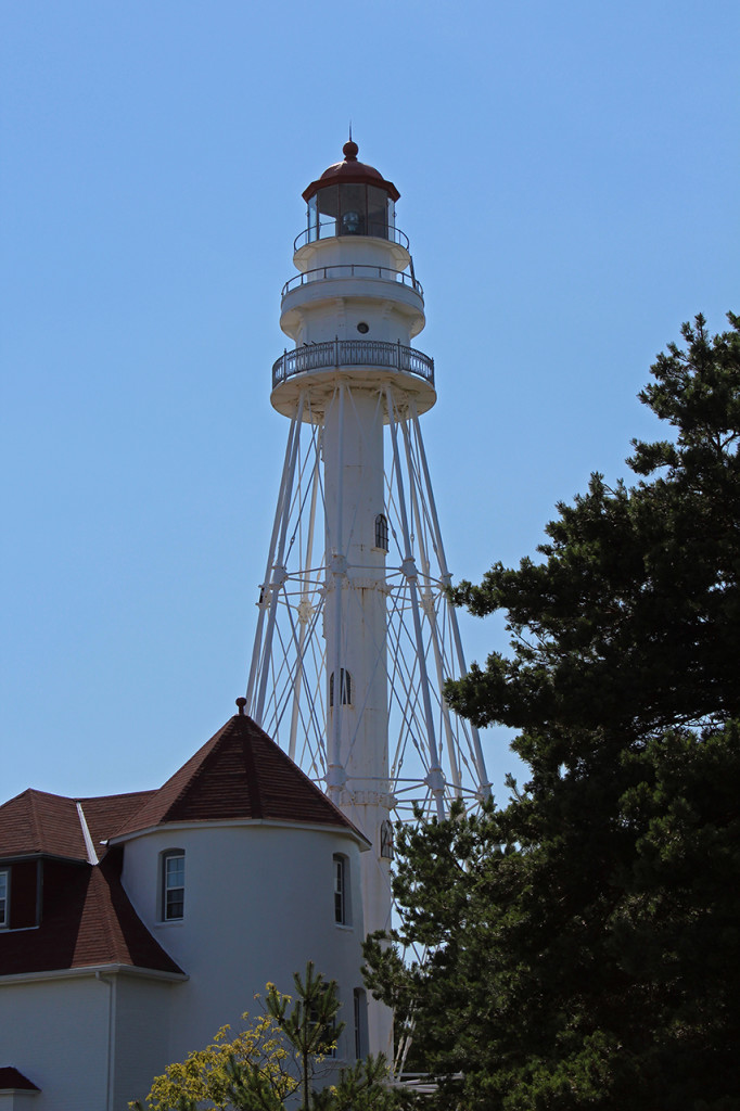
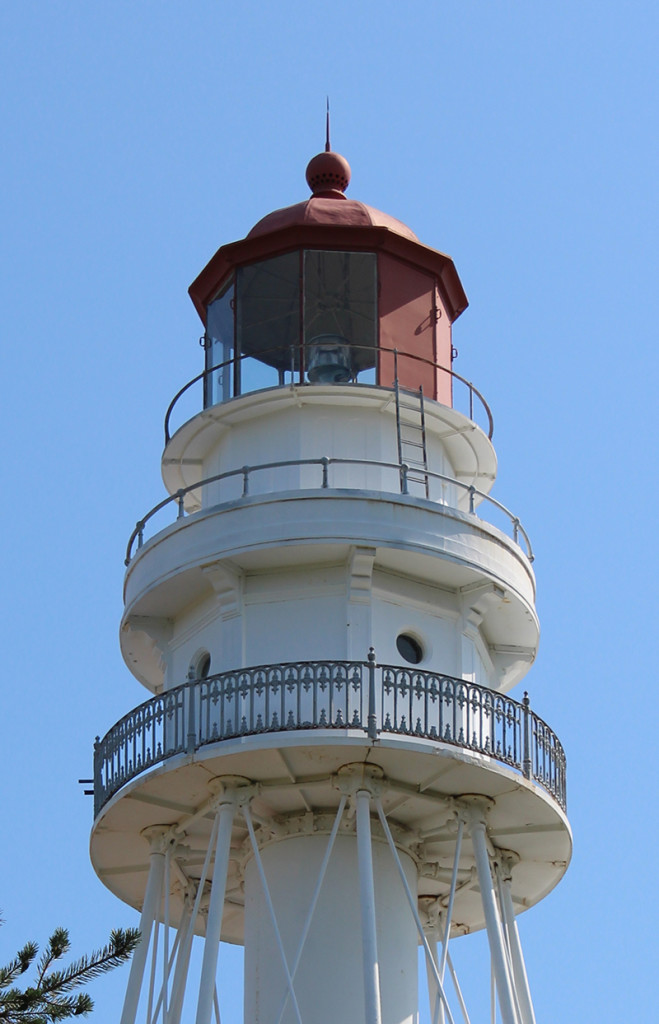
    Just up the road about four miles from Two Rivers is Point Beach State Forest. With six miles of sandy beach, lots of options for hiking and camping and a lighthouse, this is a nice stop. Rawley Point Lighthouse (previously known as the Twin River Point Light) has been operated by the U.S. Coastguard since 1853 so there is no public access, but you can get close enough for pictures from the lake and the parking lot. At 111 feet tall, it’s the tallest lighthouse on the Great Lakes and is a huge presence on the shore of Lake Michigan.

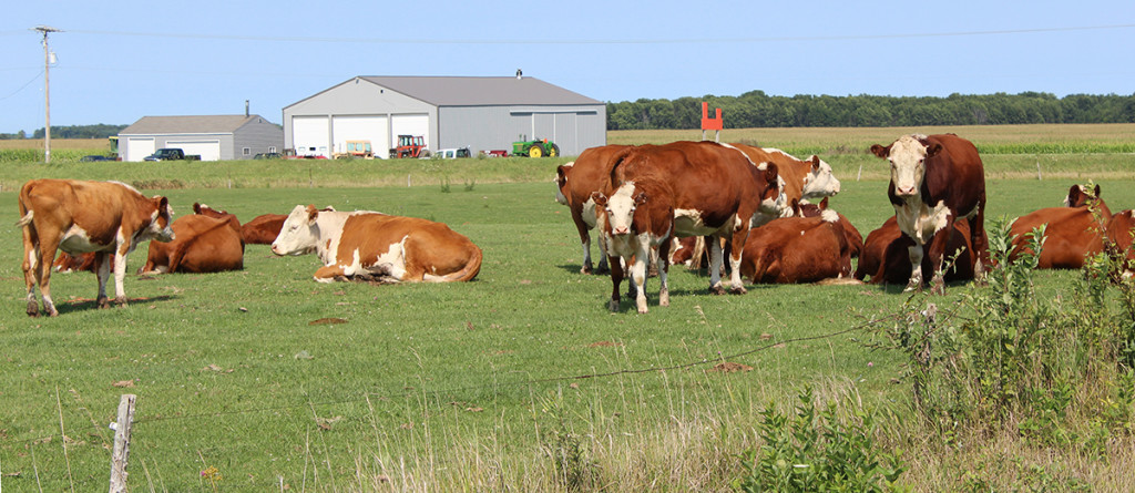
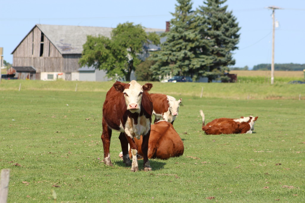
    The next pictures just cracked me up. I thought twice about stopping along the road to take pictures of cows, but when am I EVER going to be this close to this many cows on such a perfect day? So, I pulled over. It seemed a little like Yellowstone National Park where – when you see someone pulled over with a camera there must be something great to see, right? When the passersby realized what I was up to, I could imagine the disgust in their voices as they said, “Damn city folk, they’re just COWS!” Like it or not, I think these girls are kinda pretty basking in the sun, and there was one who kept getting a little closer and a little closer. That’s when this city girl decided to leave, before that country girl jumped the fence and came after me!

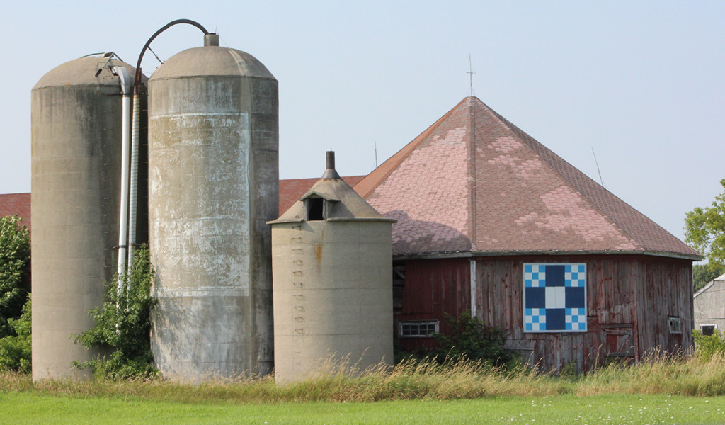
    This COMBINATION octagon barn/barn quilt – what a score! Although I have seen many barn quilts on my journeys this year, I haven’t seen many octagon barns. Looks like I’m not done with my road trips after all!

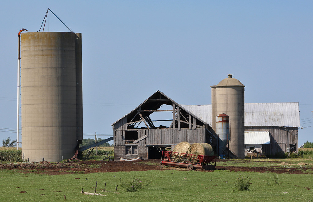
    This farm was probably where those cows live. I’m assuming there’s another barn that’s not quite so air conditioned?

    I got more than a little creeped out when I came upon “Nuclear Road” just up the road. Below is the Kewaunee Power Station, which is now closed. It was one of four nuclear power plants in Wisconsin and since I don’t like the idea of nuclear power AT ALL, I quickly hauled my little car out of there!

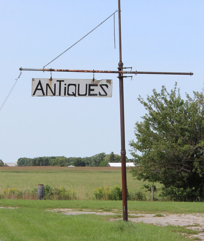
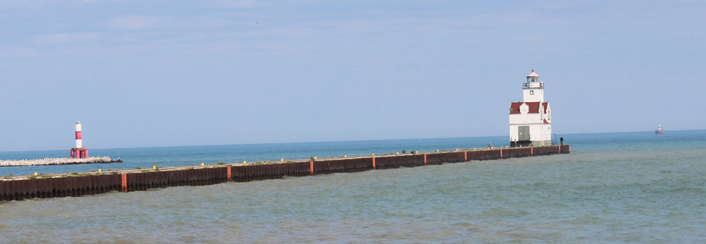
    Antiques anyone? Anyone? And we’ve come to the end of this post with the Kewaunee Pierhead Lighthouse, which is located at the mouth of the Kewaunee River. Click on the link for some better pictures and lots of information about its past.

    Next post will be more of my beloved barn quilts, an historic church and some more farm animals. Welcome to Wisconsin!

    Happy trails,
    Barb
  • Pinecrest Historical Village

    Pinecrest Historical Village

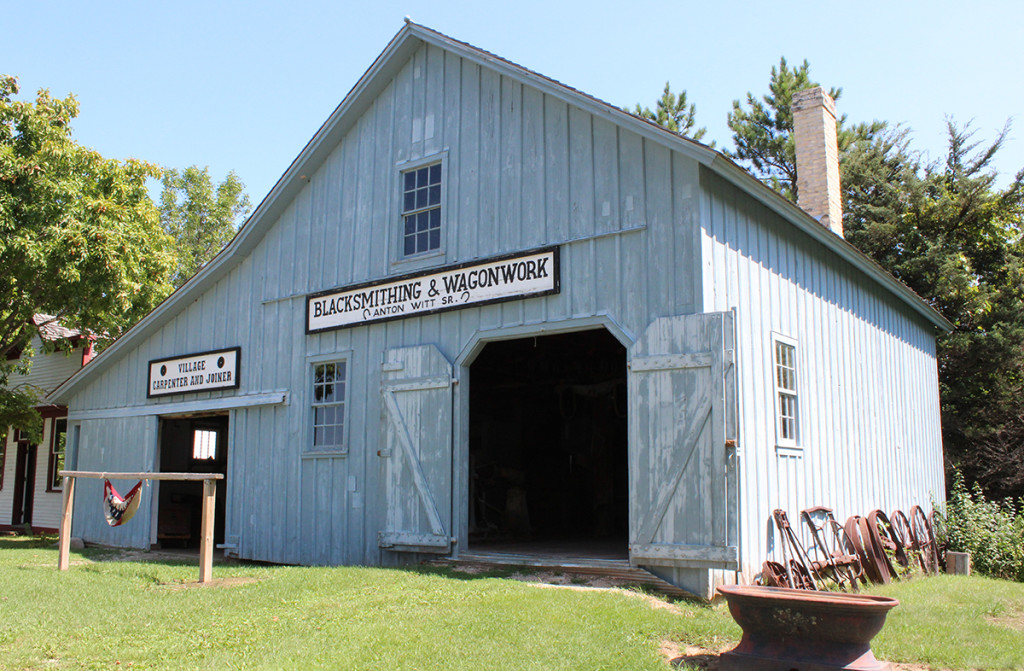
    If you’ve read any of my blogs, you know how I like to make the most of a road trip and see as much as I can on the way to and back home from a new destination. I’ll be spending the next five days in Door County, but I had a couple of stops planned for my way up. First stop was Pinecrest Historical Village, just three miles west of I-43, (Exit #152) on county road JJ. This place is full of history and great old buildings for photographs.

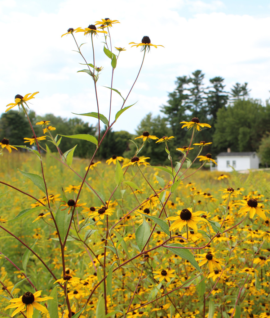
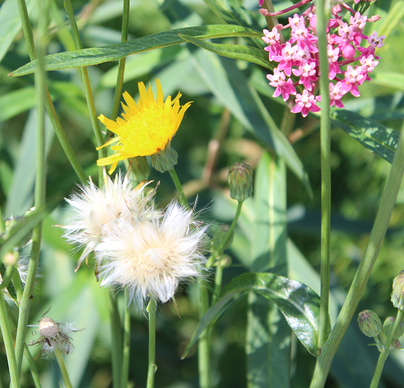
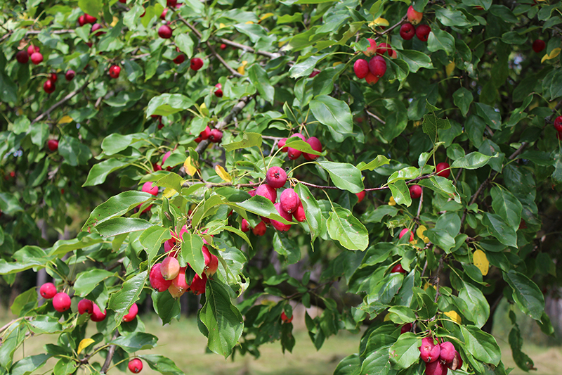
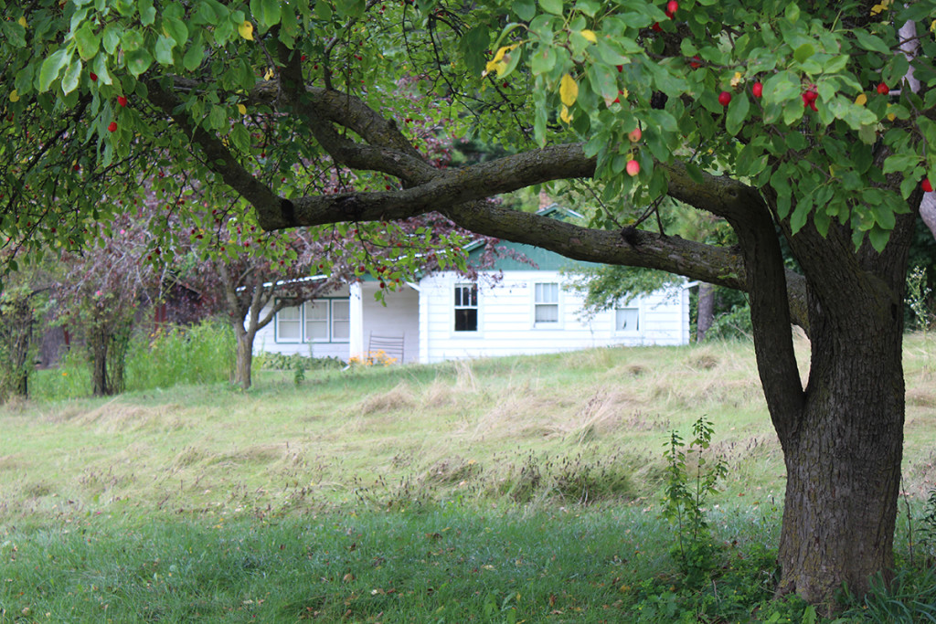
    As you enter the grounds, there is a huge field of wildflowers – one of my favorite things! I won’t bore you with all of those photos, but here are a couple, as well as the beautiful crabapple tree that graced the area around the first building. It was a beautiful day and this place was a great find!

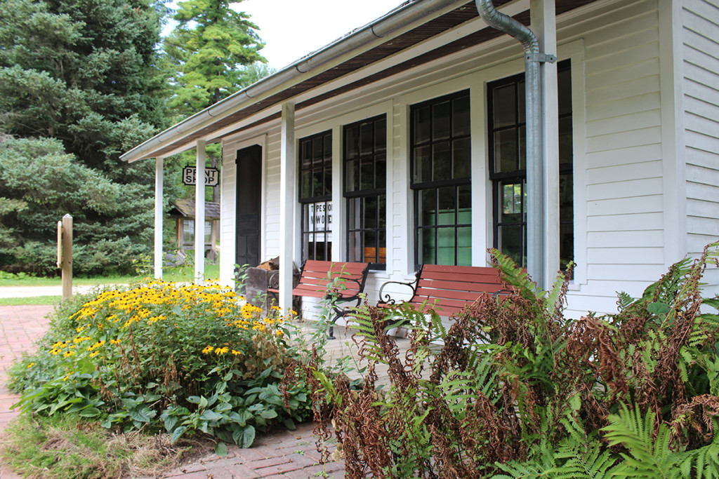
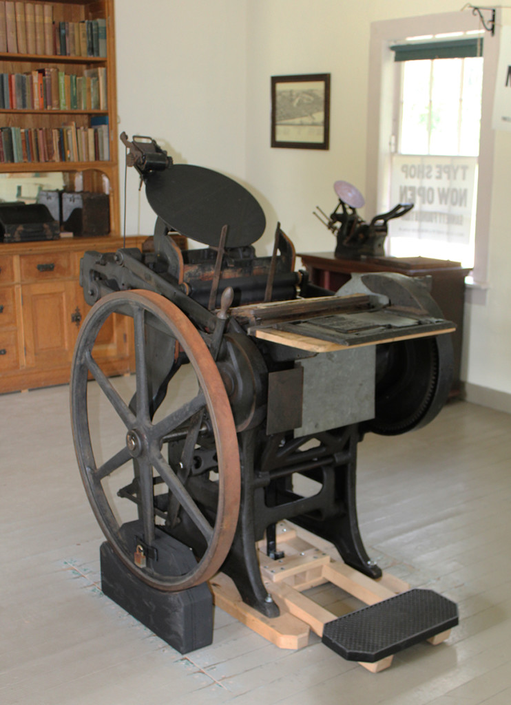
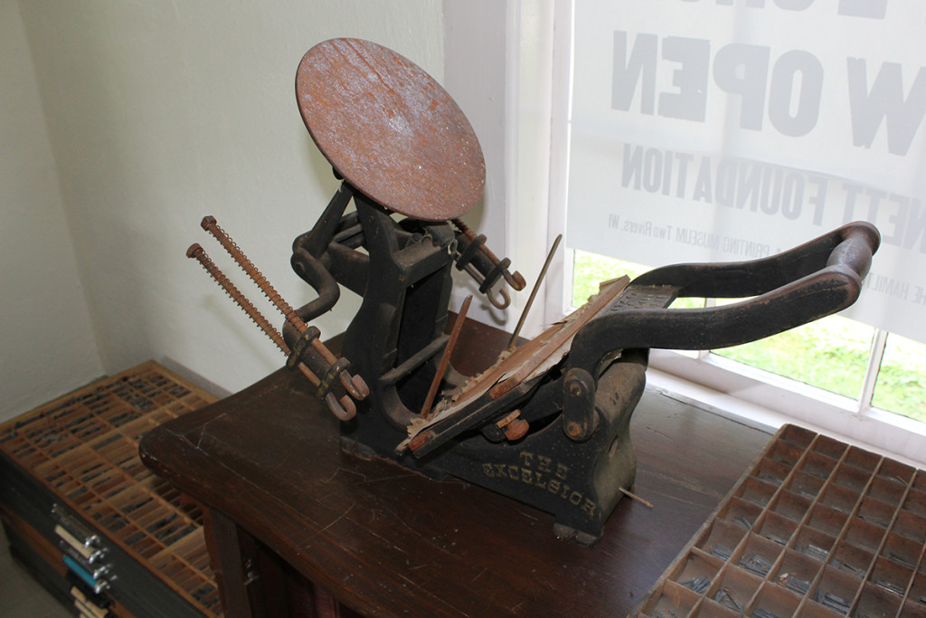
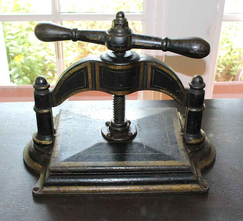
    I have always been fascinated by print shops, so the first stop was of particular interest to me. James E. Hamilton from Two Rivers, WI revolutionized wood type production in the 1880s and small village print shops popped up all over. This shop was originally inside a house and was moved to Pinecrest in 1979.

    This was a fascinating place to visit. At only $7 for a self-guided tour with an audio guide and a take-home newspaper chock full of info about each building, it was a great way to spend the afternoon and learn a little more about the history of the area. In this blog are just a few of the 26 stops on the tour. This place is a must-see if you are passing near the Manitowoc area.

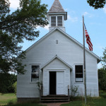
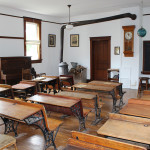
    Shadyside School (below) was a one-room rural school in the town of Manitowoc Rapids from 1872 to 1956. It was moved to Pinecrest in 1976.

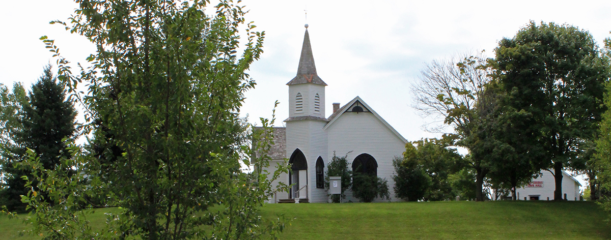
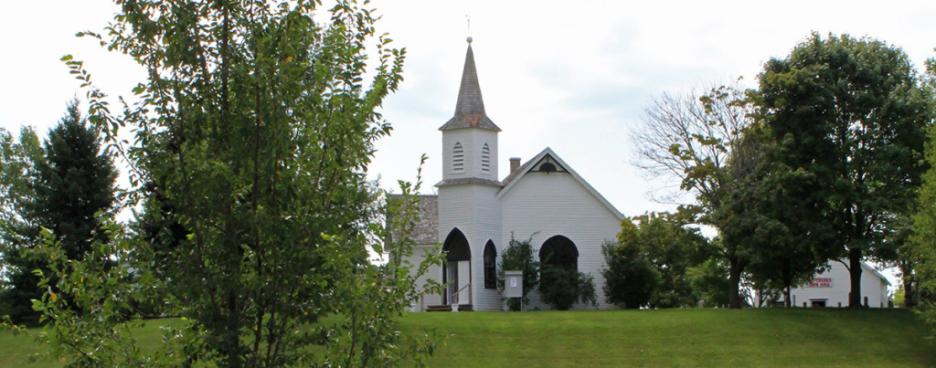
    Niles Church is pictured below. This shot was taken way across the grounds as I entered the wildflower field. The outside was difficult to photograph close up because of the angles and the trees that surround it. It is a Presbyterian Church, built in 1886 on Highway 151 between Valders and Chilton and moved to Pinecrest in 1972, where it was restored. It is available for weddings. There is a replica of a country cemetery outside the church with authentic tombstones, including several Civil War veterans. Although there are no burials onsite, it looks pretty cool, with many inscriptions in German and Czech.

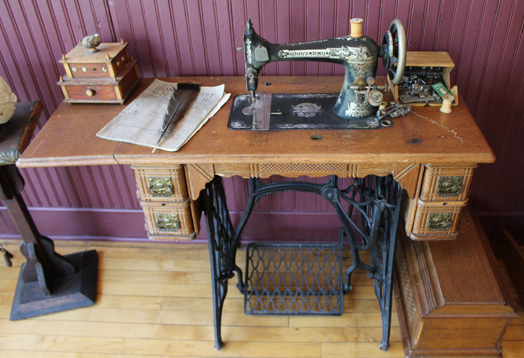
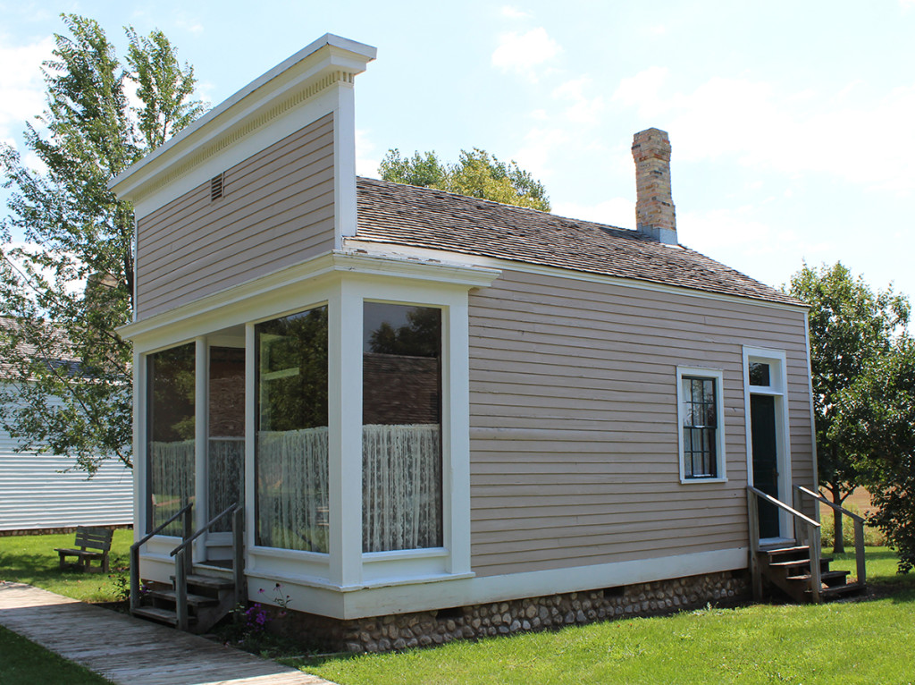
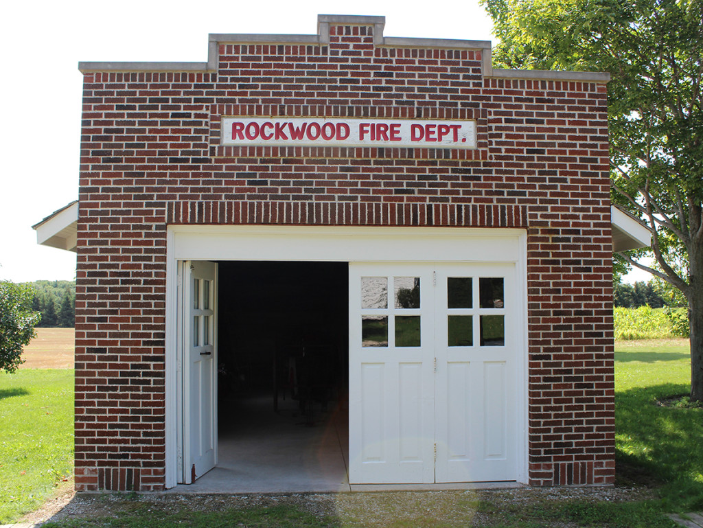
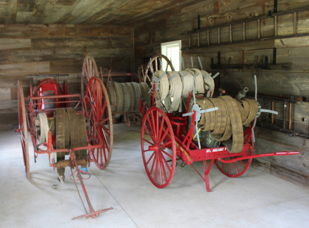
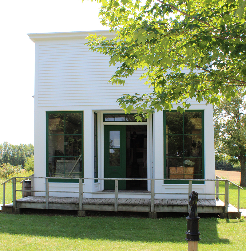
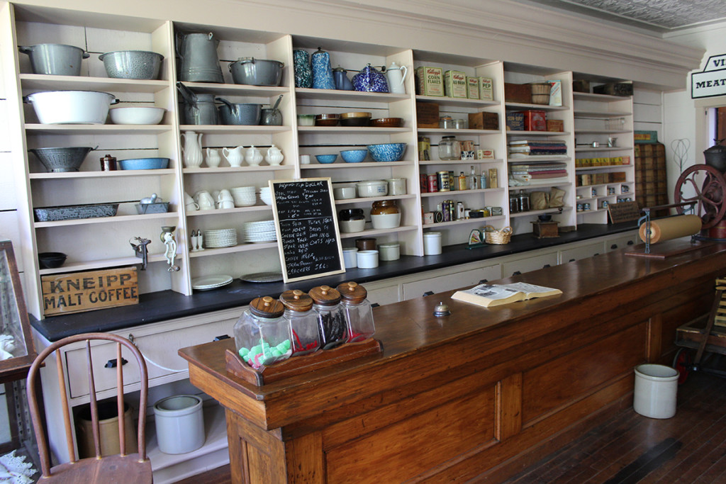
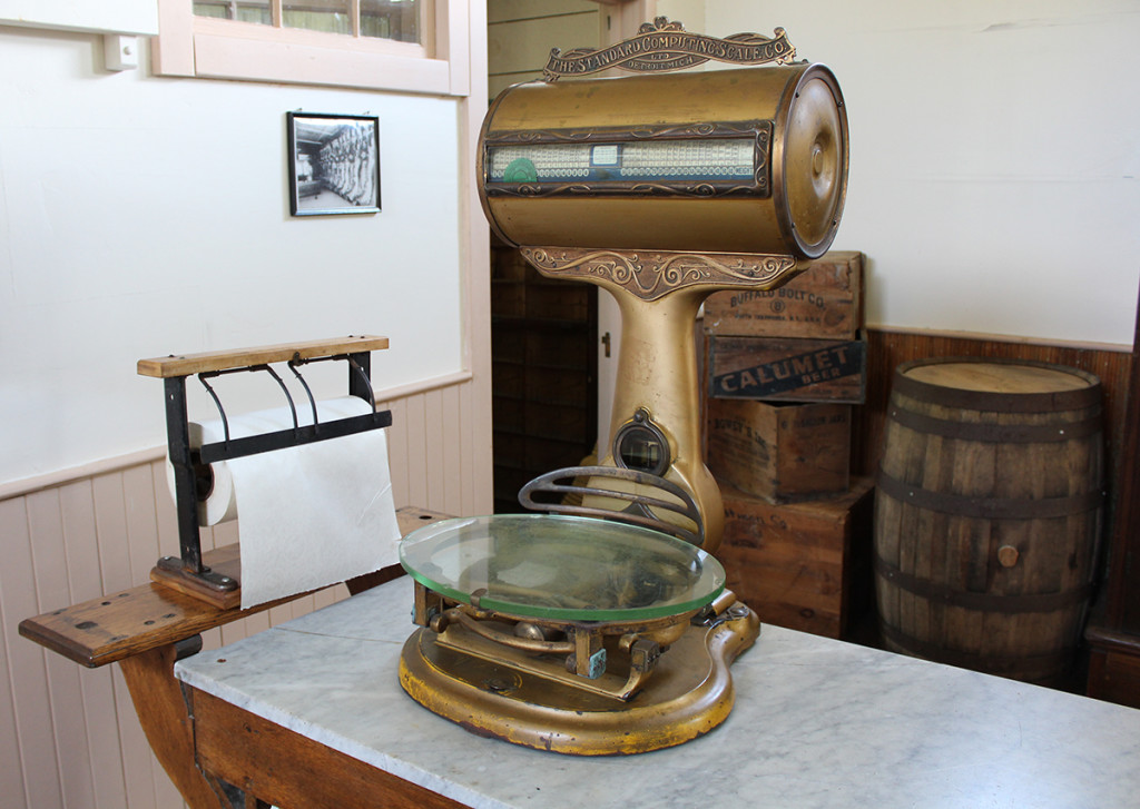
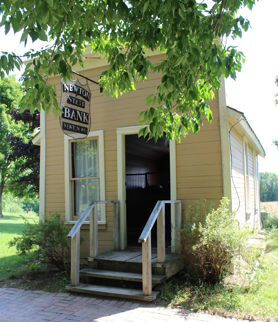
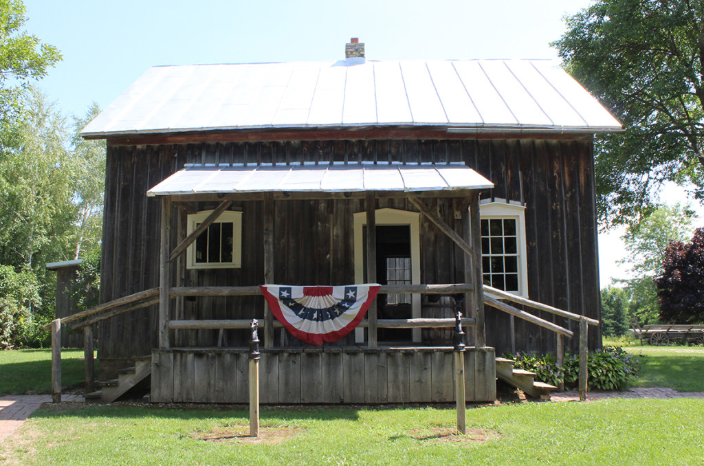
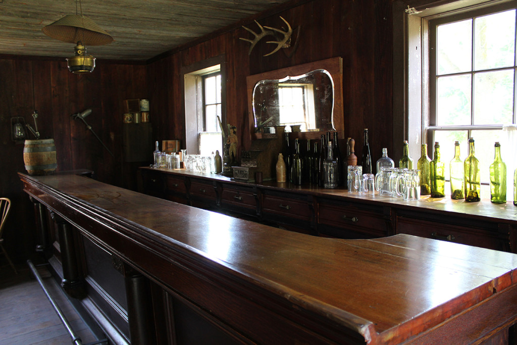
    Below are a few of the other buildings, including the Rockwood Firehouse (1926), Rank Dressmakers Shop (1897), the General Store and Village Meat Market (1870s).

    I have lots more pictures, but if I show ya everything, you won’t have a reason to visit! OK, here are a couple more, but that’s it!

    Obviously I REALLY enjoyed this wonderful place. I suggest you visit, so you too can REALLY enjoy it! There’s a Halloween celebration called “All Hallow’s Eve” as well as “Christmas at Pinecrest” that sound like a lot of fun, plus MORE. Visit Pinecrest Historical Village website HERE.

    Happy trails,
    Barb
  • Mt. Horeb
    Mt. Horeb
    This is a quick post about the overnight we spent in Mt. Horeb, Wisconsin. We’ve hit up the Grumpy Troll for great burgers on several occasions on our way past the small town, but we have never stopped and checked it out like we did today. Since it’s within 2 minutes of being the exact middle-point between us and our friends in Iowa, it seems we may be meeting here more in the future.

    Yesterday we spent the day sampling beers in Monroe and New Glarus and ended at the Grumpy Troll (again) in Mt. Horeb for our final sampling and a delicious dinner on the patio on a gorgeous August first. We hit the hay pretty early since we were all sloshing, but woke up bright and early to check out the town.

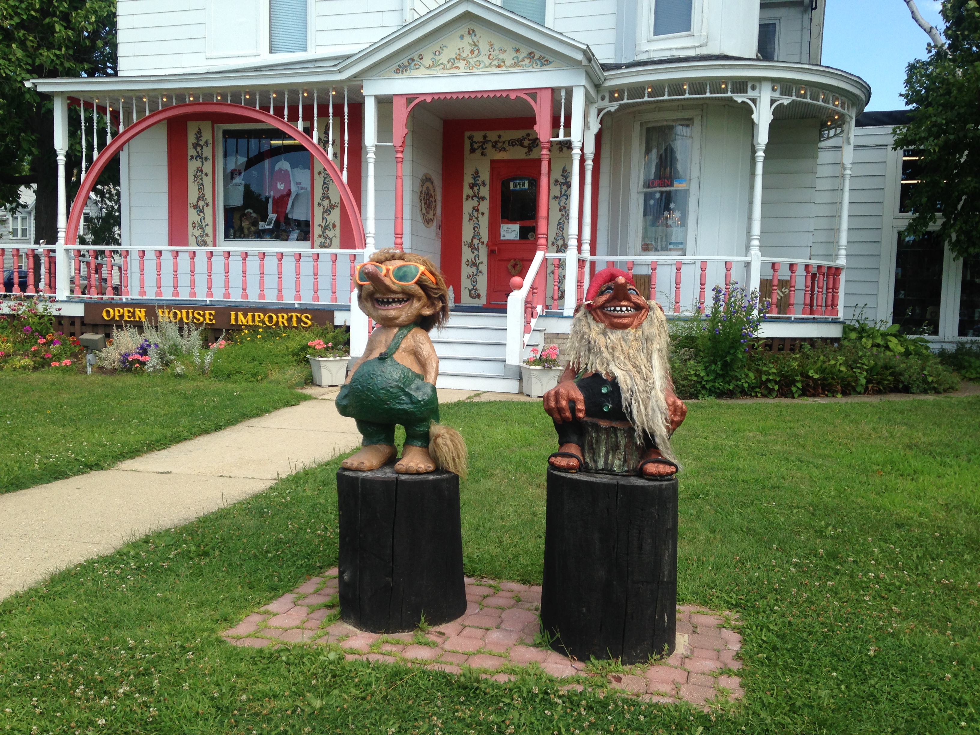
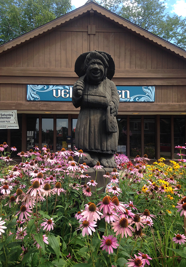
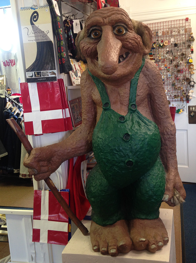
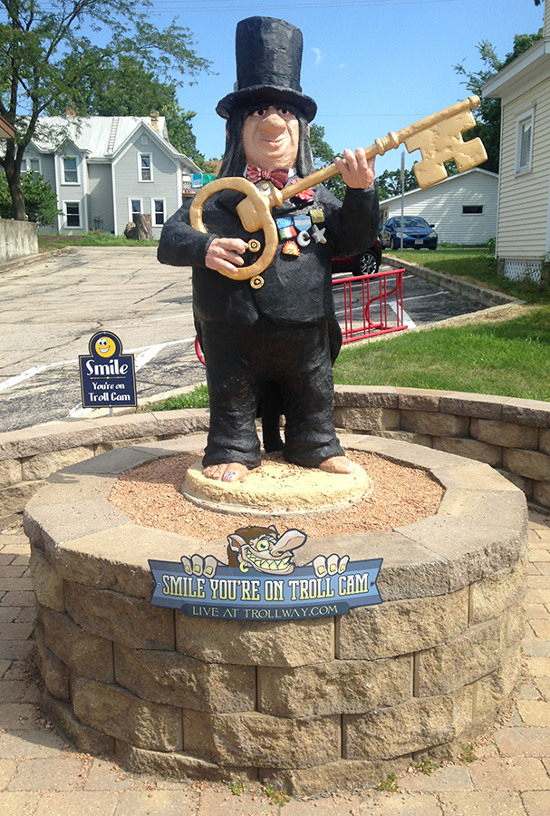
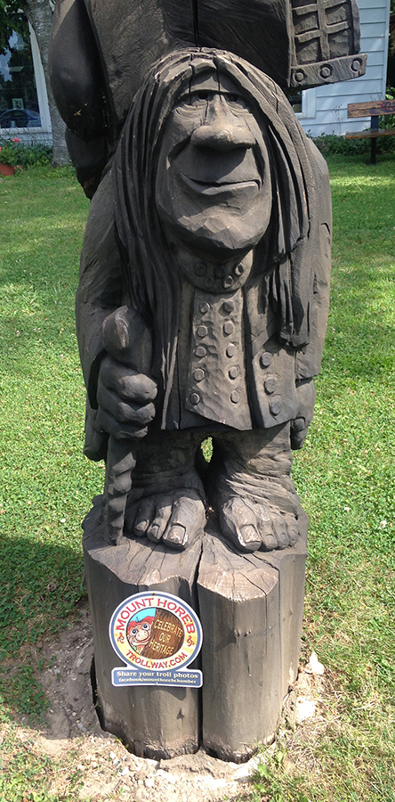
    Along with some great shops, antiques and several yummy restaurants, Mt. Horeb is a cute little town, adorned by trolls. Here is a little history of the town:

    “The Mount Horeb area was first settled by people of English, German, Irish, Norwegian, Scottish and Swiss descent, yet in the late 1800’s more than 75% of the community was Norwegian.

    Trolls originated from early Scandinavian folklore. They are usually smaller beings, similar in size to dwarves or elves. Trolls tend to dwell in mounds or near the sea-in our case-“mounds” (nearby Blue Mounds)-and are known to have developed semi-magical powers such as prophecy and shape-shifting.

    According to ancient Norwegian legend, trolls have long, crooked noses; only four fingers and toes; and a long, bushy tail. Trolls live to be hundreds of years old.

    Most trolls are shaggy and look a bit frightening, but are mostly good-natured and naive. It is advised to maintain a good relationship with trolls as they are often known to be guarding treasures of gold or gemstones-in our case, they guard the friendly people and wonderful attractions of our community!” – READ MORE ABOUT THE TROLLS OF MT. HOREB

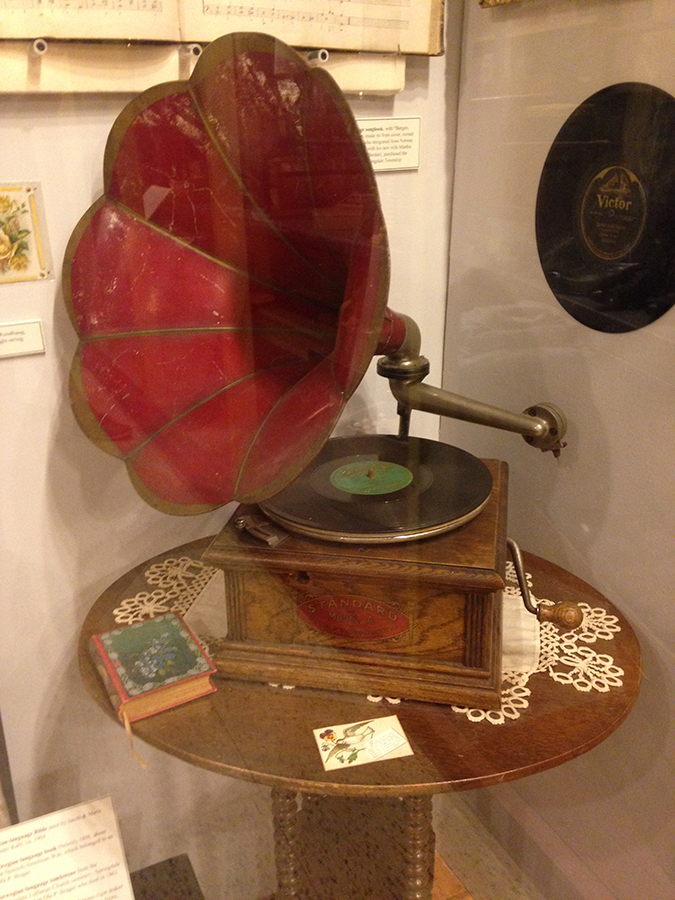
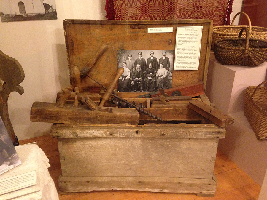
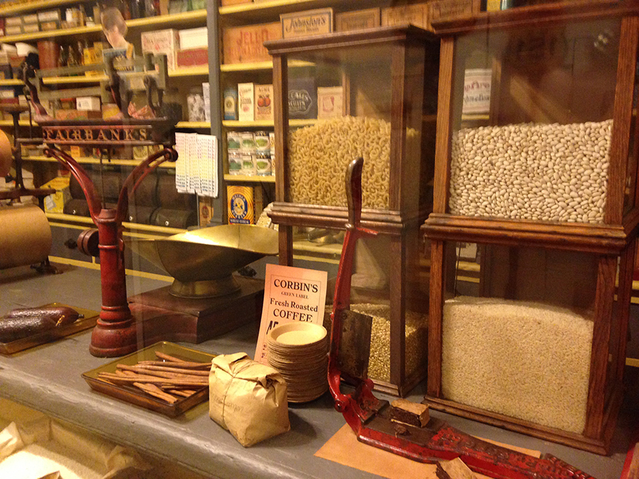
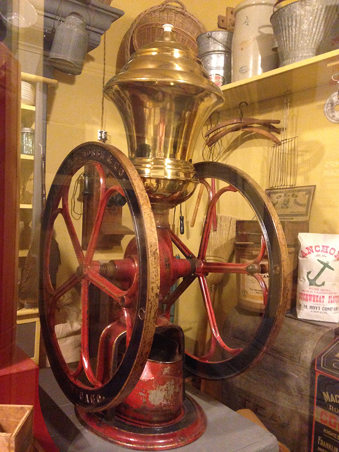
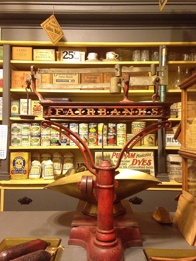
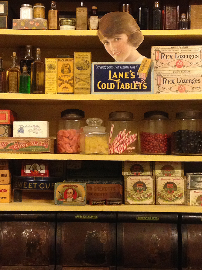
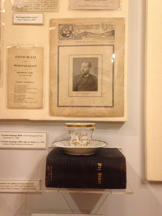
    We found a great way to spend some time if you want to know more about the history of the town and the surrounding areas. Mount Horeb Area Museum and Shop is 19th Century store, that’s just loaded with wonderful displays. Looking at the outside, you would never believe how much wonderful stuff could be inside its doors. “Hundreds of artifacts, photos and stories bring the region’s heritage to life.” – READ MORE ABOUT MT. HOREB’S HISTORY

    All in all, this was a great weekend getaway. Come check it out soon!

    Happy trails,
    Barb