Category: Wisconsin

  • Wisconsin Embellishments

    Wisconsin Embellishments

    The thing I absolutely love about doing this blog, is that when I’m out and about, I am always on the lookout for interesting things to photograph. It just makes me so much more aware of things – instead of just driving by trying to get to my destination. Shouldn’t that be the way we always travel? I think it will surely be the way I travel from now on. Then, when I get home and have to post my pictures, of course I have to know what the heck I’m talking about, so there’s some research involved. That’s when it gets really interesting. When I understand what I recently saw.

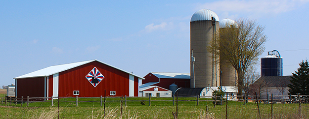
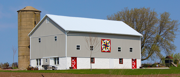
    Why is it that when you are shopping for a new car, suddenly half of the cars on the road are the car you’ve decided on? Or when you get pregnant, you are suddenly more aware of all the beautiful baby bellies out there? I thought the same thing about barn quilts. I set out to find some barn quilts, and BAM! They’re everywhere! Especially around Shawano, Wisconsin.

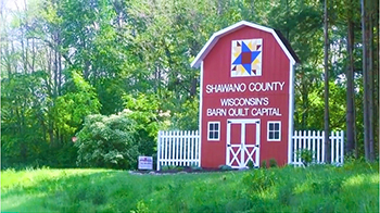
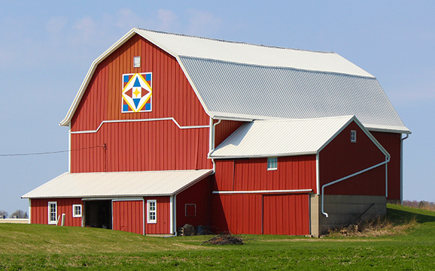
    Turns out Shawano County set out – and has become – the Barn Quilt Capital of Wisconsin with a project that started up in the summer of 2010. They started with three in the fall of that year and currently there are more than 300 all around the county.

    The very first barn quilt in Shawano County is on display on Rasmussen Road west of Caroline. That quilt was designed and painted by members of the Caroline Aces 4-H Club. Click to see the video with a great synopsis of how the project originated, from the inspiration of the narrator, Jim Leuenberger after he saw several quilts on barns in other states – to seeing 300 of these beautiful creations – each unique – on barns across the county.

    From that project has come the “Bike the Barn Quilt Project” where seven bike routes, each from 5-70 miles, travel past barn quilts on the beautiful backroads of Wisconsin. For more information on the Bike Ride click hereTo see the locations of the barn quilts in Shawano County click here.

    Shawano County’s 203rd barn quilt (pictured above) was sponsored by Shawano Pathways, the area’s local bike/pedestrian group. It was the first of three barn quilts the group sponsored as part of its “Bike the Barn Quilts” initiative that kicked off in fall 2013.

    No Embellishments

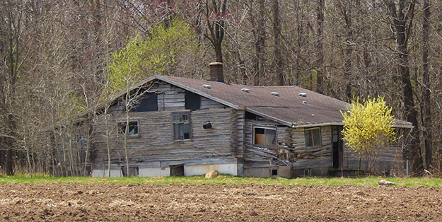
    I suppose I chose this broken down old house because of its lack of embellishments, except that bright yellow tree in the front yard. These are the kinds of things that are missed by staying on the interstates and the things that make road trips so exciting, at least for me. I passed by this and had to turn around to get the photo. On the return trip, I remembered exactly where it was and took another look. Love it!

    Concrete Park – Phillips, WI

    Concrete Park

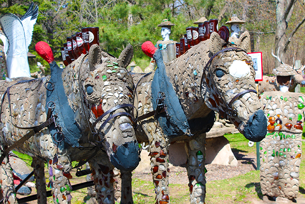
    When we first discovered the Concrete Park more than 20 years ago, the kids were young and we were all impressed by the uniqueness of it all. Today when I stopped, the memories returned, as the concrete and brightly-colored broken glass-adorned men and animals stood proudly on this fabulous day in Phillips, Wisconsin. The park includes over 200 folk art sculptures which are pretty awesome and there is also a short nature trail.

    After a bad storm in 1976 where 70% of the park was destroyed, the Kohler Foundation, Inc. restored it and then turned it over to the county. Today, it’s maintained by the “Friends of Fred Smith” a non-profit organization plus donations. It really is something to see!

    “In 1948, at age 62, Price County native Fred Smith began creating what is known today as the Wisconsin Concrete Park. Smith, a lumberjack, tavern owner, farmer, and dance hall musician, created over 230 figures depicting his vision of the local culture and the world. His work is considered by experts to be one of America’s most unique displays of folk art. Smith’s characters came from local legend and personal acquaintances as well as legendary heroes. His most widely recognized statues include Ben Hur, the Lincolns, Sacajawea, and Paul Bunyan.” To read more about Fred Smith and the Wisconsin Concrete Park, click here.

    More Wisconsin Lakes

    Clam Lake

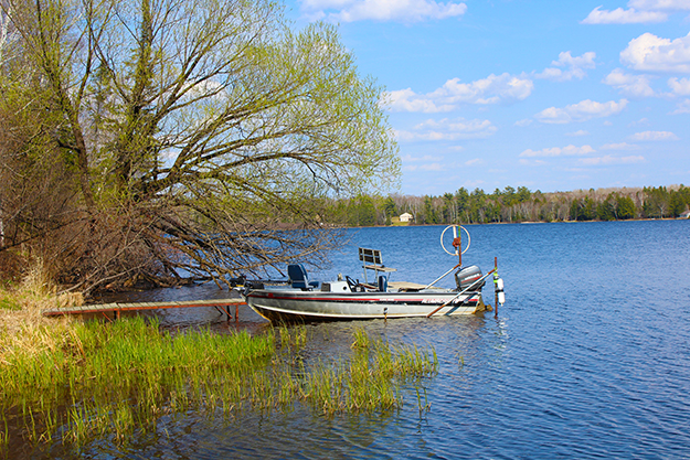
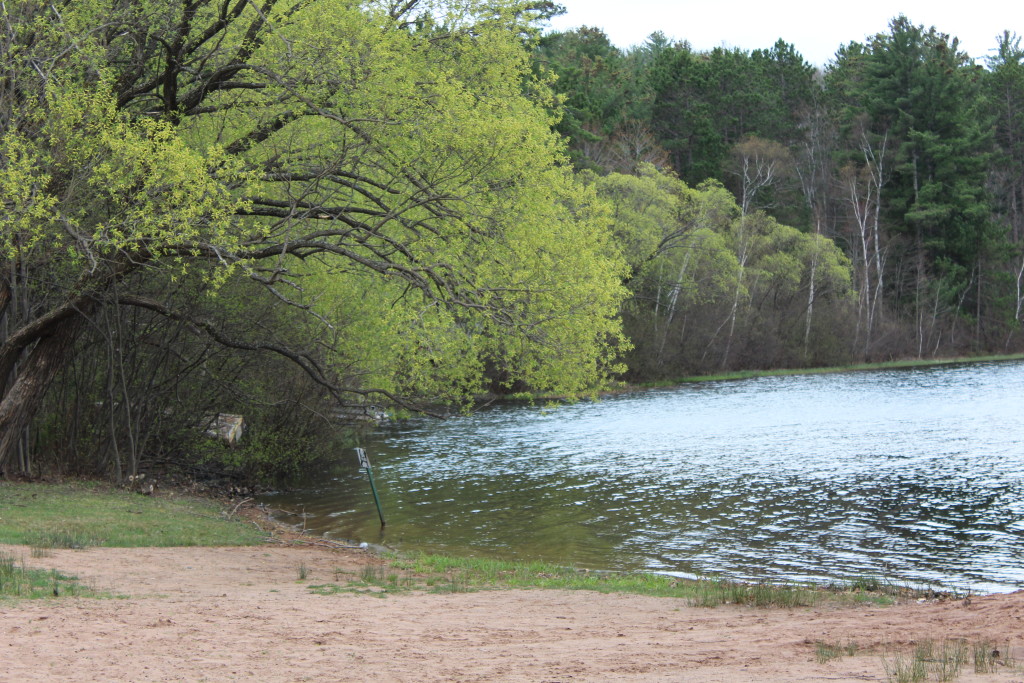
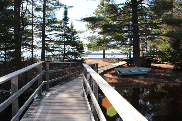
    Everywhere you turn on a road trip in Wisconsin are beautiful lakes. The photo above was taken at Clam Lake, located in the heart of Chequamegon National Forest. This lake is embellished with a fishing boat, as are many in Wisconsin. It looks pretty inviting, don’t ya think?

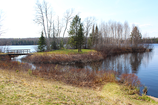
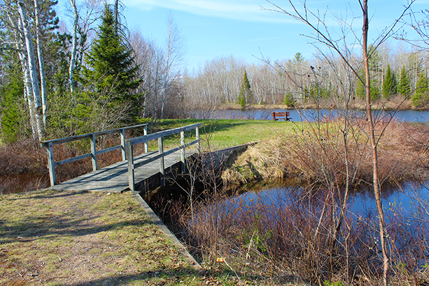
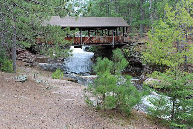
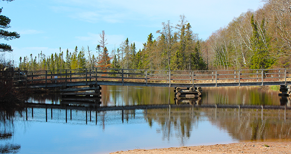
    The photos below were taken about one mile north of Clam Lake at Day Lake. Day Lake Campground features 52 shaded campsites nestled under towering pines. It is absolutely beautiful! There’s another one of those bridges I love so much!
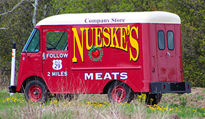
    Nueske's MeatsAnd here is one last shot of the greatest “billboard” of them all. I thought this vintage Nueske’s delivery van was surely unique, but then I saw several more, strategically placed around the area. Their website makes me hungry just looking at it. Check it out.

    If you have come across something really cool in your travels, shoot me an email and we can set up a guest blog! Or at the very least send me your cool photos and a blurb about it and I’ll give you credit for both! I would love to share your special stories too. I shouldn’t be the only one sharing my stories on here!

    Well, this has been one splendid day. I hope you enjoyed it as much as I did exploring some of Wisconsin’s Embellishments!

    Happy trails,
    Barb
  • Wisconsin Waterfalls

    Wisconsin Waterfalls

    Today I left on a quest to see some of Lake Superior’s coastline and a few Wisconsin Waterfalls. I have a great, very-detailed map of Wisconsin by DeLorme that looks more like an atlas with over 100 pages. It sometimes gets me into trouble since all who have traveled with me know I strive to “see it all” and take roads I probably shouldn’t be taking in an effort to get up close to that spectacular overlook. In Wisconsin, most of those little red-lined roads have houses with signs saying they don’t want to share those great overlooks. It didn’t take me long to start looking for the brown “public access” signs before taking a route, so my little car and I would be welcome to take a peek.

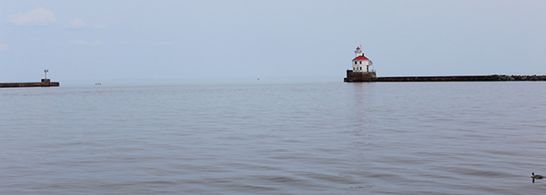
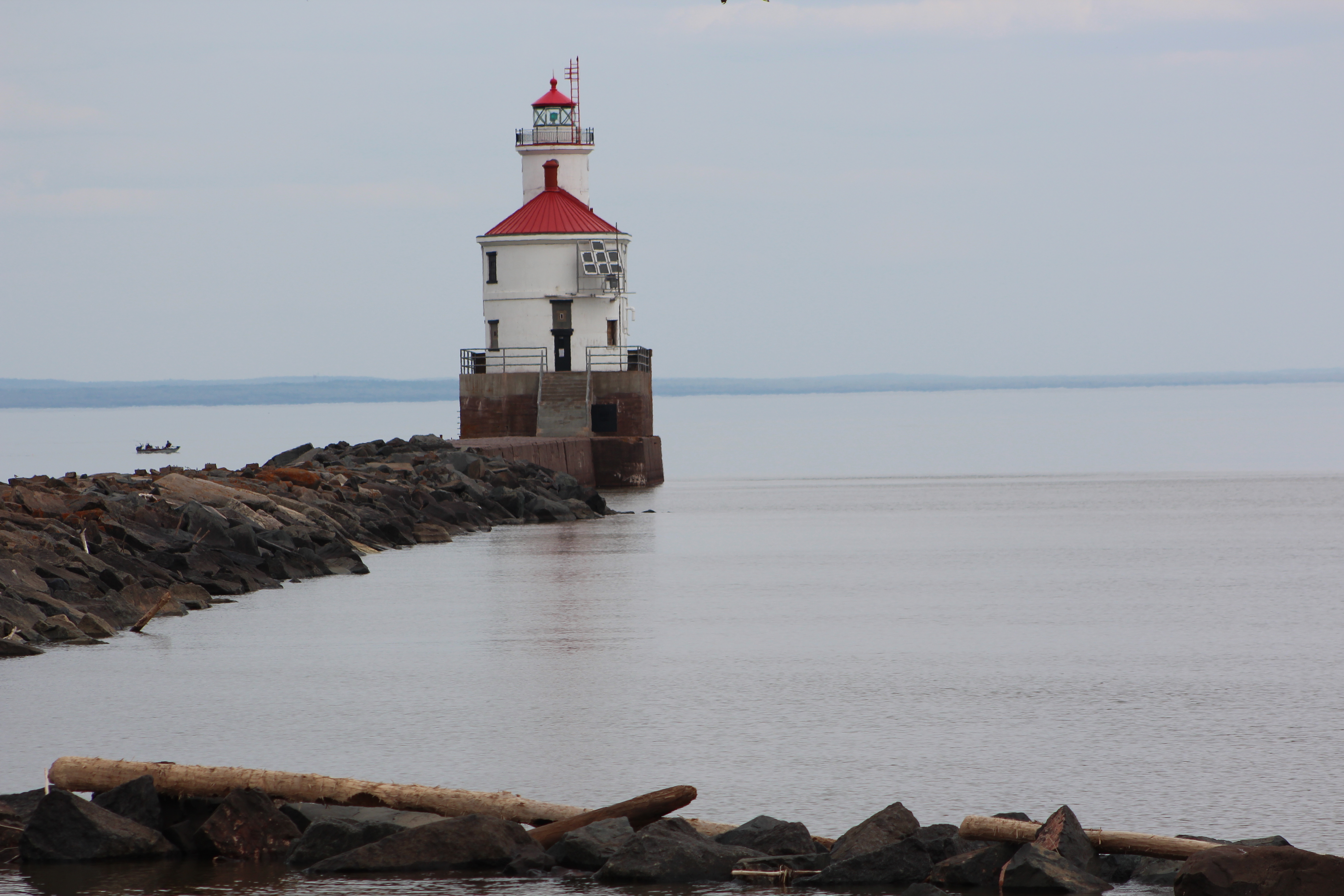
    With that said, my first good stop was at Wisconsin Point Lighthouse near Superior, as far north and west in Wisconsin as you can get.

    Wisconsin Point light and its attached fog horn building sits at an opening in the world’s longest fresh water sand bar, marking the entrance to Superior Bay since 1913. This 10-mile long sand bar stretches between Duluth and Superior and provides one of the safest harbors in the world. With its sandy beaches and today’s calm waters, it was a great spot to walk for a while and gaze at Lake Superior. The lighthouse sits at the end of a breakwater that looked a little daunting on this gloomy day. Wondering whether it would start pouring at any time, I opted for a picture from shore.

    Pattison State Park

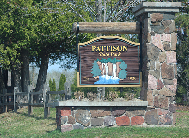
    Entrance to Pattison State Park

    Just south of Superior is Pattison State Park, named after Martin Pattison, who became rich from his iron mining business in the late 1800s. In 1917, he squelched a plan for a dam to be built on the Black River by secretly buying up 680 acres of land along the river, thus saving the Big Manitou Falls. In 1918 he donated the land to the state and in 1920 they named this beautiful park after him.

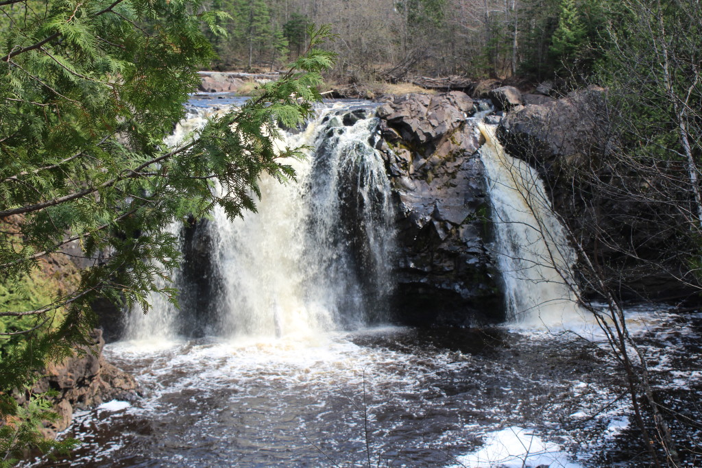
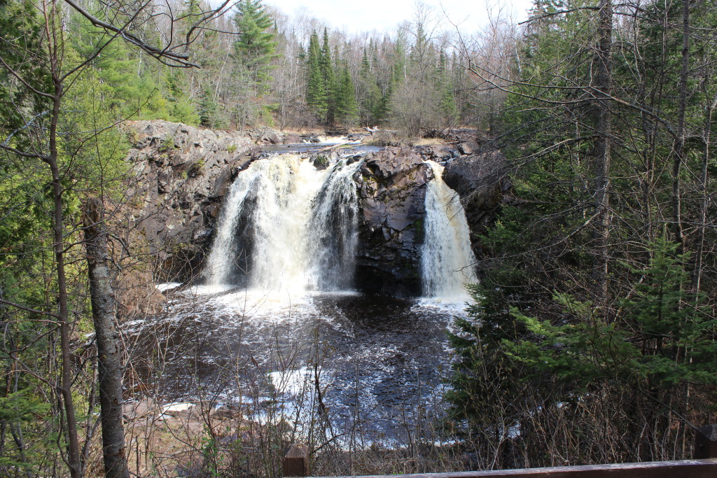
    Little Manitou Falls

    Pattison State Park is home to the highest waterfalls in Wisconsin. I always like to start small and work my way up to the most spectacular, and they were pretty much right across from each other anyway, so I started with the Little Manitou Falls, which drops about 30 feet. After plenty of rain, it was running pretty full and really not all that little! You can get up pretty close to these falls and the copper color is just gorgeous. The park around the falls is lush and green and offers cooler temperatures if heat is a problem the day you are there. I remember seeing these falls in the late summer many years ago after just moving from Oregon and I wasn’t too impressed. Visiting in the early spring helps make them as great as they can be and I was certainly impressed this time!

    Big Manitou Falls

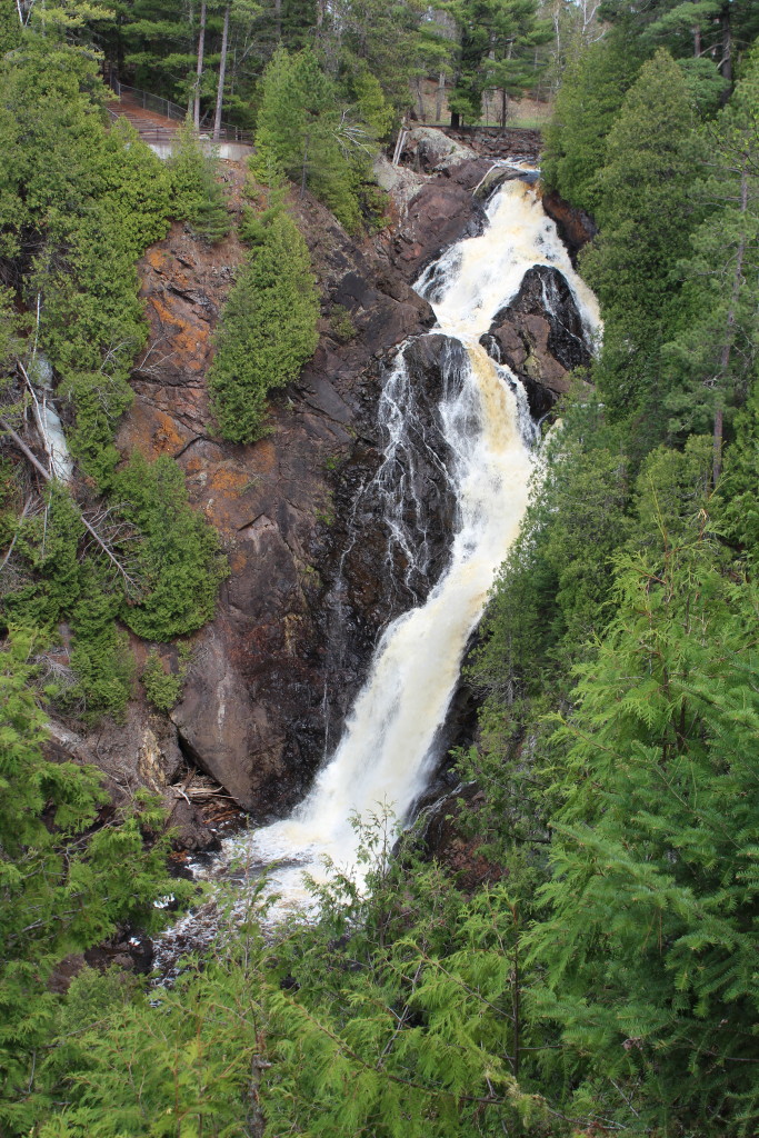
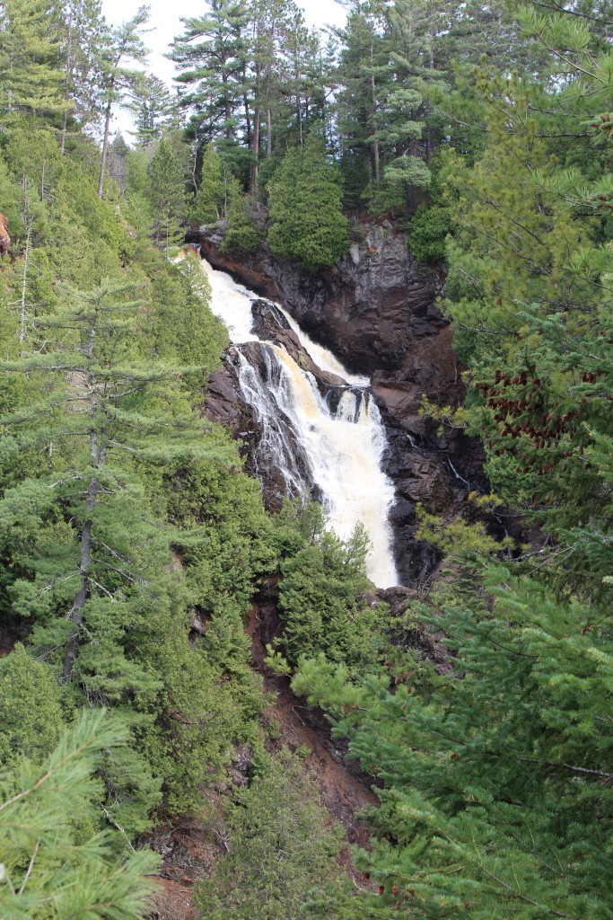
    Big Manitou Falls drops about 165 feet and is the highest of the Wisconsin Waterfalls. Although you can’t get up close, it is pretty spectacular and should not be missed. Hiking down into the gorge is not allowed, but the trail back to it is very nice, with great “Up North” smells.

    This year (2015) is a particularly bad year for ticks, so do a thorough search after you’ve been in the woods. We’ve been lucky so far, but you never know! Deer ticks are the worst, with all kinds of strange symptoms that can’t be diagnosed, and to me are one of the scariest of all of God’s creepy crawlers.

    How do those trees grow out of the rock anyway? It was just beautiful!

    Amnicon State Park

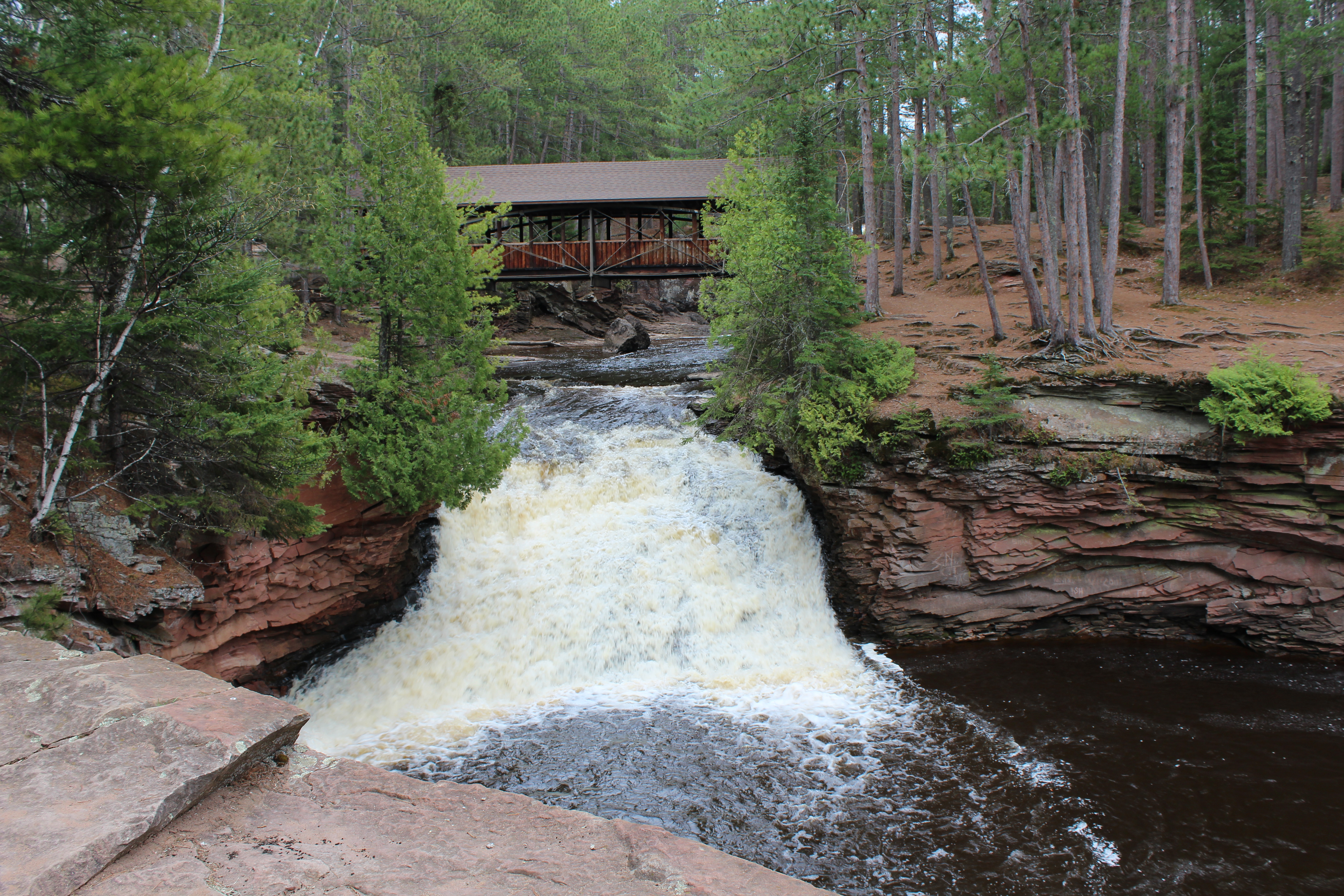
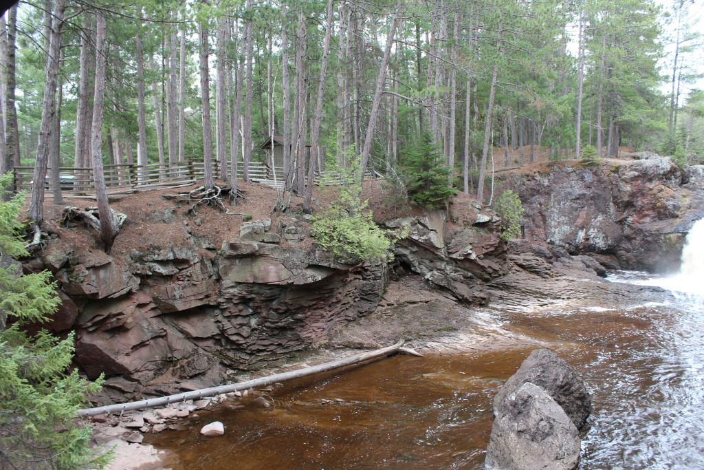
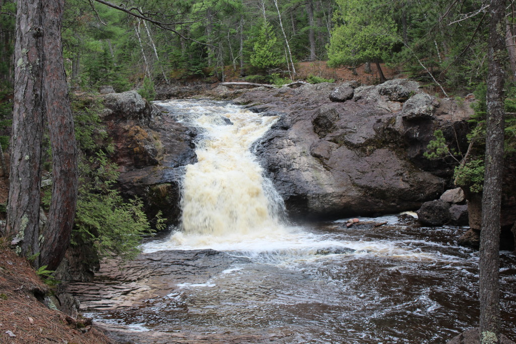
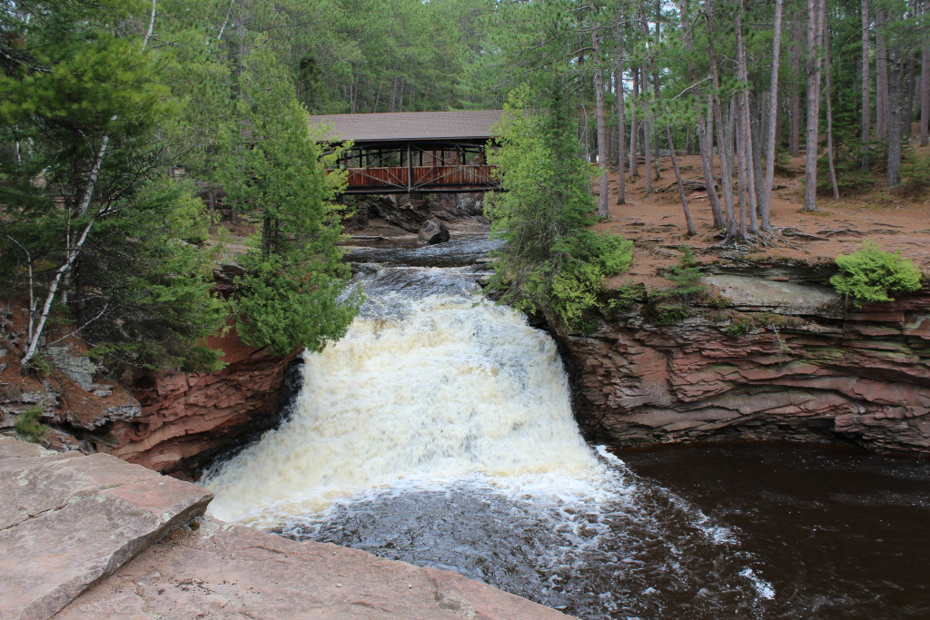
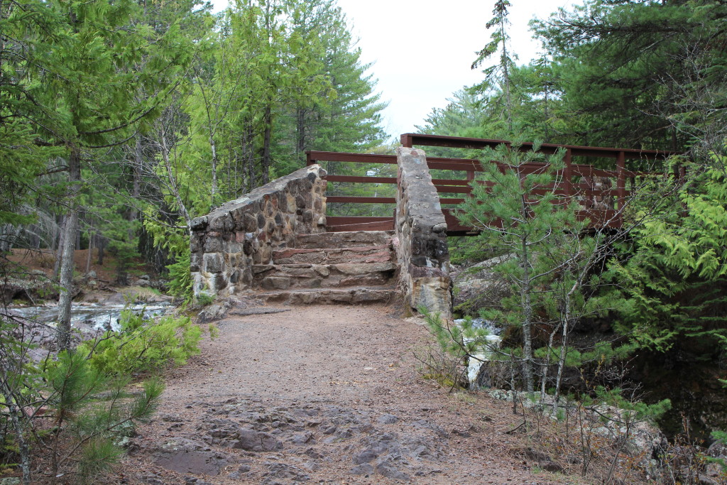
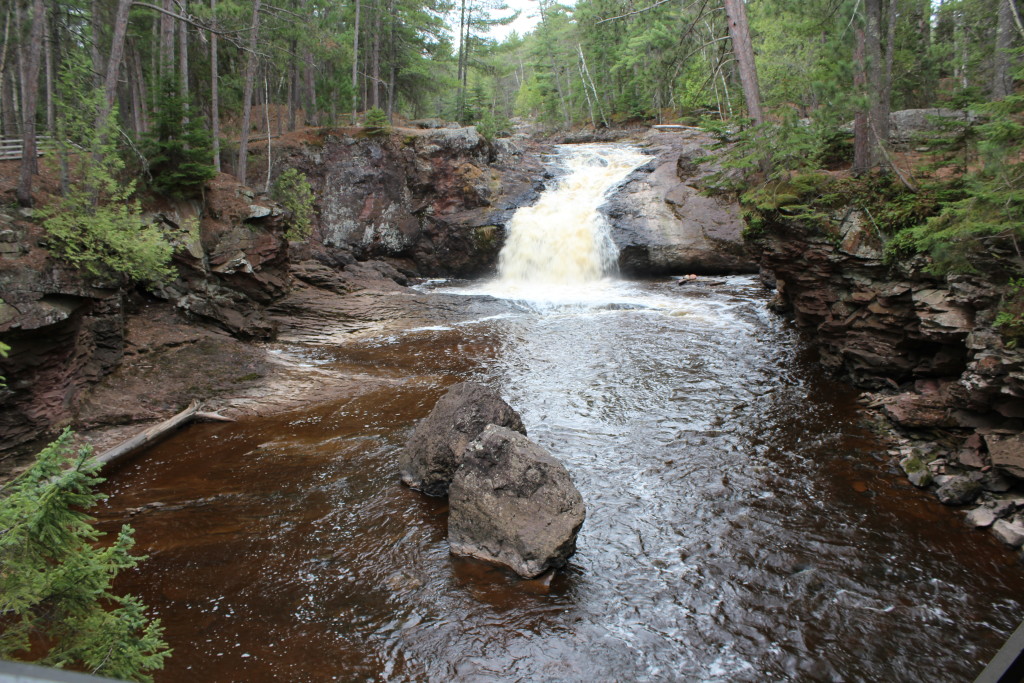
    If you’ve seen a few of my blogs, you know I love taking pictures of bridges and fences and any kind of natural walls. About 20 miles northeast of Pattison State Park is Amnicon State Park, home of the Upper and Lower Amnicon Falls. This park has all of the above plus the falls are just beautiful.

    The park also offers a great picnic area, wooded campsites and great hiking trails. There’s no electricity or showers (or flushies), so unless you’re OK with that, leave your RV at home. The park is open all year around, so winter camping and snowshoeing would be a blast.

    If you visit in the fall, the water levels are usually lower, but the colors of the fall foliage would make up for it. I would highly recommend a stop at this park.

    Upper Amnicon Falls

    Lower Amnicon Falls

    Lake and Shake

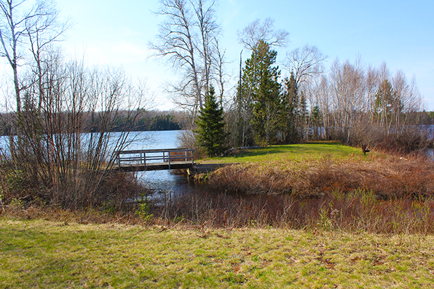
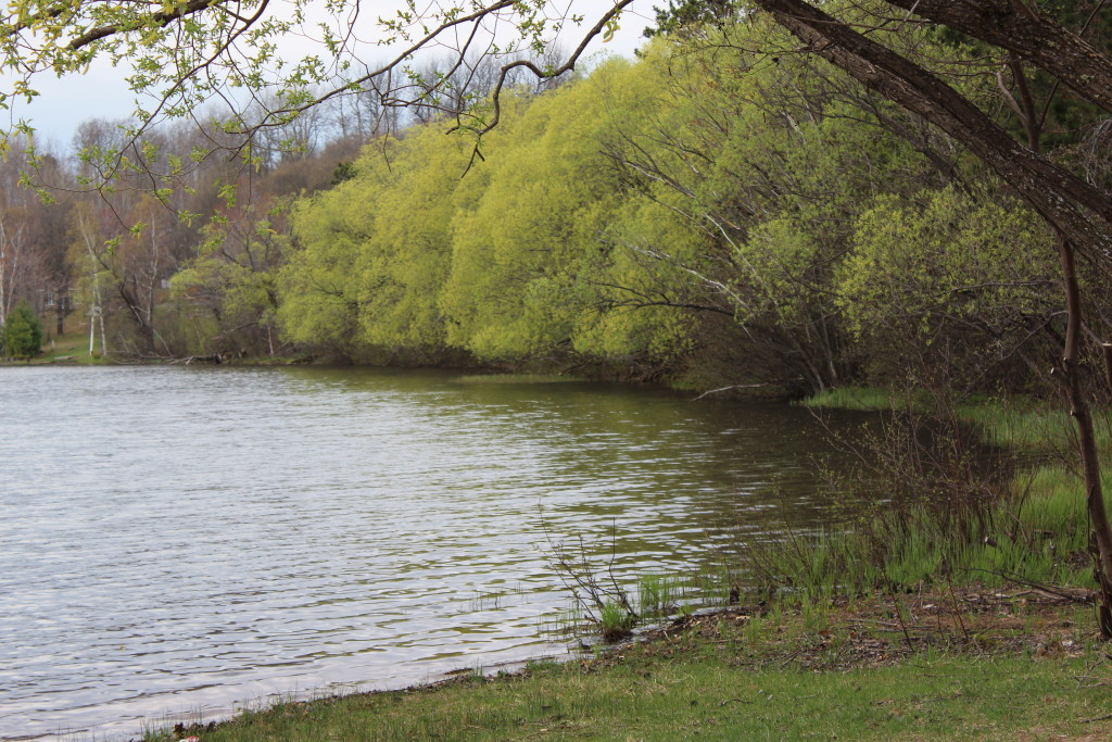
    My little car is programmed to just pull over at small lakes I run across. I had to hold it back for this trip, because there were lakes everywhere. This was a good one though, and the kids that were playing on the swing set at the park were wondering what I was doing pulling over near them. They waved and I waved and they went back to talking about whatever young kids talk about these days!

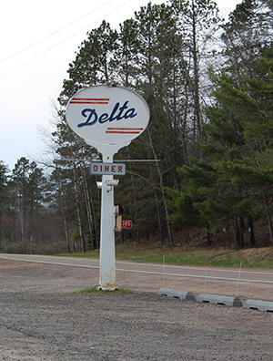
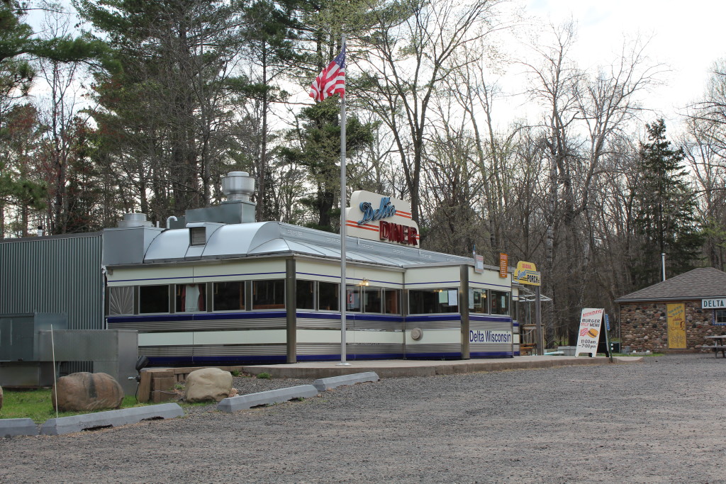
    Anytime I can get a burger, fries and a shake for lunch it’s great, but when the place looks like this, it’s fantastic!! During the off time of year, you have to do a little planning and I had to return a couple days after my initial discovery in order to actually get in.

    Well, that does it for this long day. I love vacations!

    Happy trails,
    Barb
  • Madeline Island

    Madeline Island

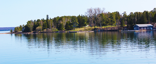
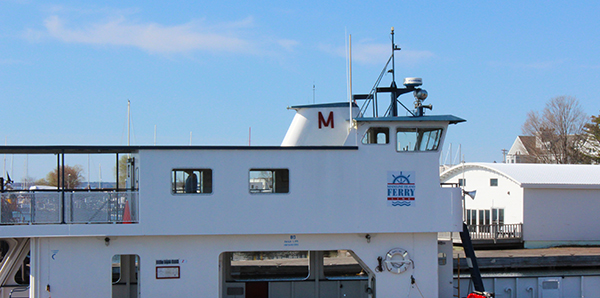
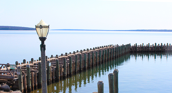
    When I left for my trip “Up North” in early May, I was expecting to need my long underwear to stave off the cold – but in fact it was just the opposite. I live only a couple of miles from another large basin of cold water (Lake Michigan) and sometimes it’s Memorial Day before the lake breezes don’t come with a chill. Luckily I over pack and had plenty of clothing options that didn’t include a sweatshirt and socks – because it was in the mid- to upper-70s nearly all week. One great thing about my trip today was that, while I was heading to an Island in Lake Superior, I would have my car with me, for warmer (or cooler) clothes and shoes. The weather was absolutely gorgeous and the lake was like glass, which made the ride over a lot easier on my stomach and some of the pictures pretty cool because of the reflections on the water.

    The trip over included some conversation with a young woman who moved to the island six years ago with a tent, her dog and a paid-off car. Luckily just before her money ran out, she was able to get a job, a small place to live and settle in. She loves island life and takes the ferry to Bayfield most mornings to swim at the local pool, because she says Lake Superior is a little chilly this time of year. Ha ha. She knew from the minute she stepped on the island years before that she wanted to move there, so she would bring back plants for her garden on the mainland to remind her of her goal. She loves it there and can’t imagine why she’d ever leave.

    The ferry docked in the small town of La Pointe. I could sense a laid-back vibe the minute I stepped out of my car and into a local shop for my morning coffee and a little something for breakfast. No one was in a hurry to do much of anything and that was fine with me. I wasn’t even pissed when the coffee carafe was empty and I had to wait for a new batch. I chatted for a while with the woman behind the counter about her favorite things on the island, I browsed the assortment of items for sale and I could hardly wait to hit up her suggestions.

    It was $38 round trip for my car and I to make the 25 minute trip to the Island via the Madeline Island Ferry. The island is 14 miles long and 3 miles wide so you will need a car, although a bike would be even better and may be cheaper to transport. Around Memorial Day things pick up, but today there was hardly anyone here, just the nearly 250 permanent residents… and me.

    Big Bay Town Park

    First stop was Big Bay Town Park where mine was the only car in the parking lot. Great scenery and here’s that reflection I was telling you about. What a perfect day. The water was like glass and you could see way down into it. The birds were chirping and obviously I was miles away from reality – something we all need from time to time.

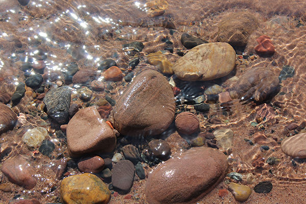
    My day was spent in solitude with my toes in the water while I pondered life’s most important questions [again] – like, “This is awesome! How can I travel more?”

    Big Bay State Park

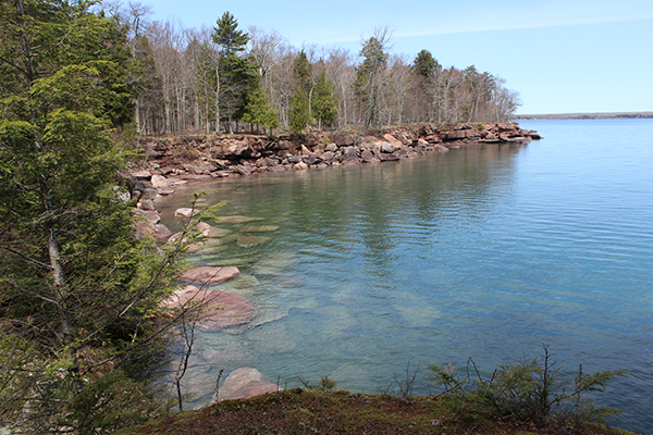
    Next stop was Big Bay State Park, a 2,400-acre park, with gorgeous sandstone bluffs and caves and 1.5 miles of beach on the Lake Superior shoreline. Established in 1963, this great park has beautiful picnic areas, several campgrounds and more than nine miles of trails. I just touched the surface during the time I spent here and look forward to returning again soon.

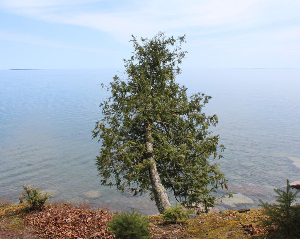
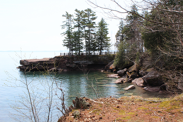
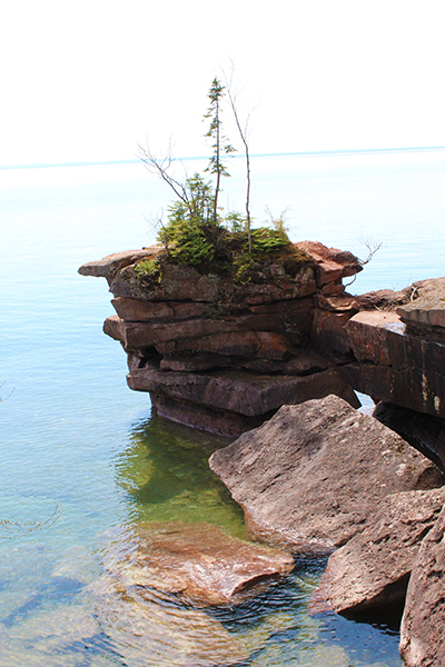
    A fabulous tree seemed to be suspended in time, leaning towards the calm waters of Lake Superior. It’s hard to tell where the lake ends and the sky begins. I have seen Lake Superior many times and have never seen it so calm and so clear. It really was a fabulous day.

    After I took the last of the pictures and was headed to the next area, I saw a couple of deer along the road. While quietly trying to change out lenses to get their picture, I noticed something lumbering down the road farther ahead. It was definitely very black and quite a lot bigger than a dog, maybe possibly a small bear. By the time I got situated with my lenses and missed the picture of the deer and made my way down to see what the heck that was, he was gone too. At my next stop, I couldn’t help thinking about that silly bear and how he may come lumbering out of the bushes by my car at any time, which made me very uncomfortable. I decided I had enough pictures for the day and made that stop a quick one. Guess I’m not gutsy enough to be a wildlife photographer!

    And, just in case you had the same thoughts as I did after I wrote this and said to myself, “How do bears get onto an island, especially if the only time the water is frozen for the journey is in the winter while they’re snoozing?” According to the National Park Service on the FAQs page: “One of the greatest concentrations of black bears in North America is found on Stockton Island in Apostle Islands National Lakeshore. Bears also regularly inhabit Sand and Oak islands, and, due to their swimming ability, may be found on just about any of the Apostle Islands.”

    Unfortunately when I was here, I was too early to see the rest of the Apostle Islands up close, so that will warrant another trip during the summer or fall months. There is a grand tour where you tour all of the islands and also several other individual island trips where you can see their lighthouses up close. Since I am a crazy fan of lighthouses, I’ll be back, and guess which tours I’ll be taking!

    Thanks for sharing this wonderful day with me. I have a day chock-full of waterfalls coming soon.

    Check out Madeline Island – you’ll be glad you did!

    Happy trails,
    Barb
  • The Wetlands of Wisconsin

    The Wetlands of Wisconsin

    When people think about wetlands, I don’t think Wisconsin comes to mind. But all along the St. Croix National Scenic Riverway, which runs along the border of Minnesota and Wisconsin, lies several of the most wonderful places that I’ve visited in a long time.

    I left my timeshare (an RCI property that I’ll review once I return home) for what turned out to be a really long day. There were so many turnouts, scenic overlooks and boat and canoe landings that I didn’t want to miss, my little car found itself on almost all small roads marked with a brown sign. A few ended up not being worth the dirt my car was covered in, but most had a little something of value, if nothing else – a totally quiet place to sit and ponder life’s most important questions – like, “This is awesome! How can I travel more?”

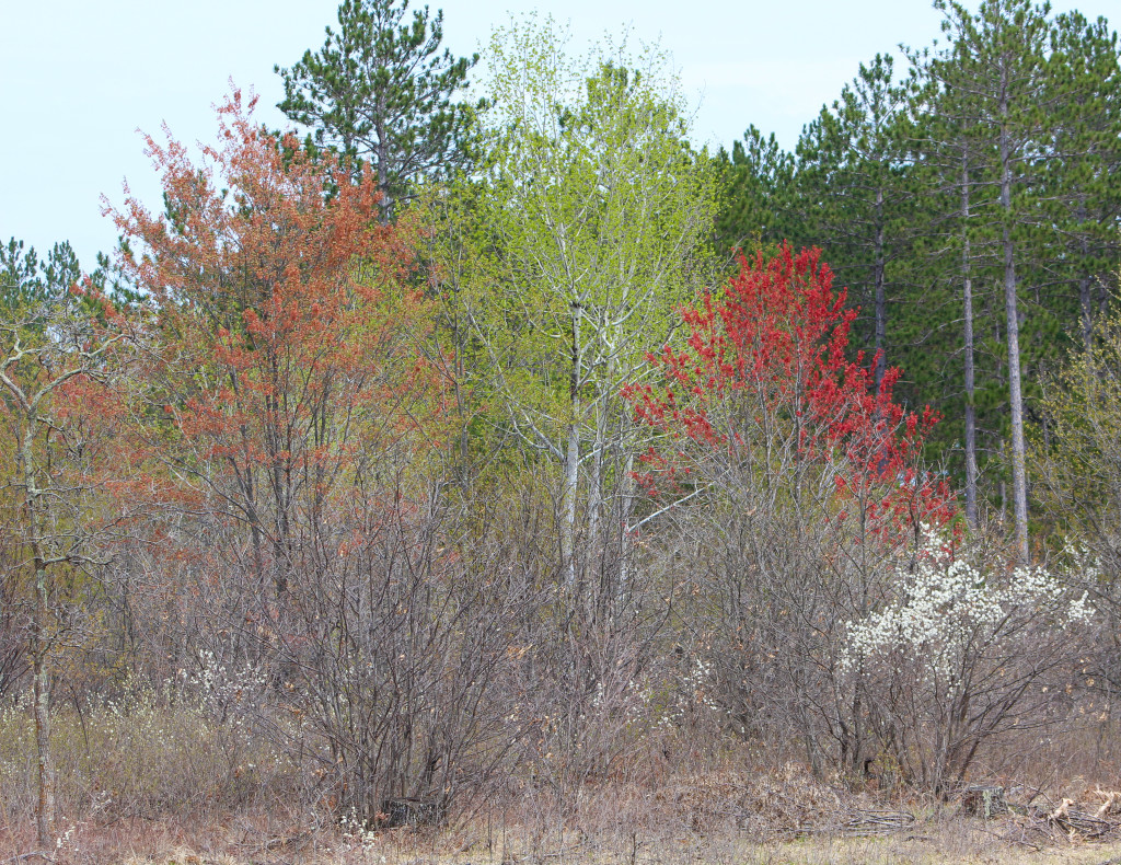
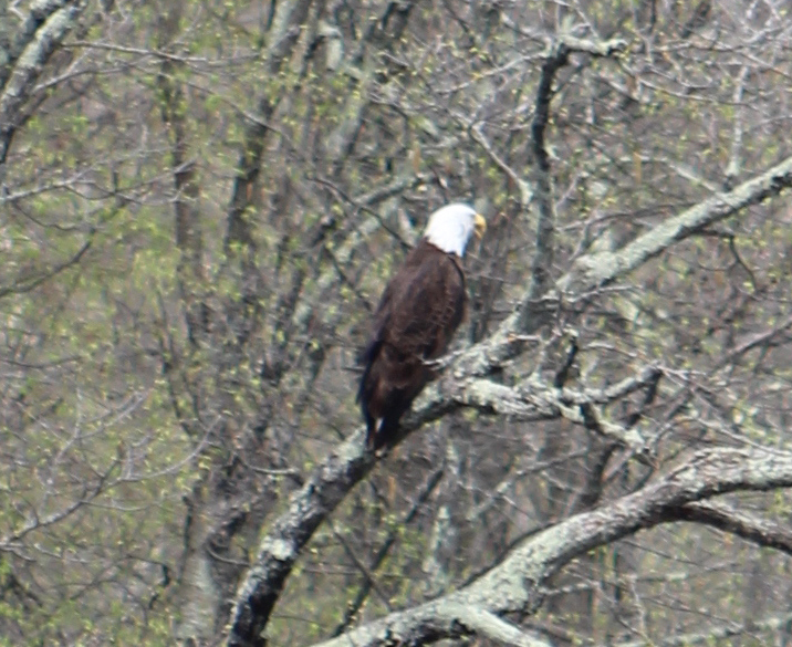
    At first I was disappointed there weren’t more leaves on the trees, but there were times when it made it so much easier to see things that are usually hidden – like deer or the bald eagle below. And the colors of the leaves that WERE barely emerging were fantastic!

    I took County Road F west of Highway 53 at Trego, then north and west to 77 and continued west to Danbury where I picked up F again and zigged and zagged along the river.

    There are great advantages to visiting this part of Wisconsin during the early “off” season. My timeshare was $167 for a whole week and there were hardly any people at any of the stops I made along the way. In most cases, I could stop, make a U-turn and pull over to take pictures of things that interested me, like the bald eagle way up in a tree across the road.

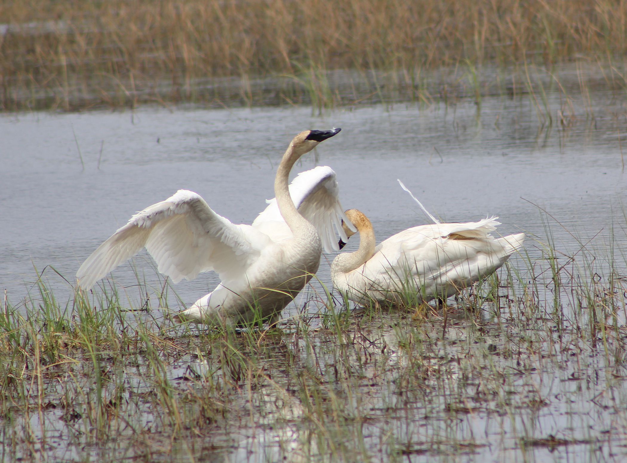
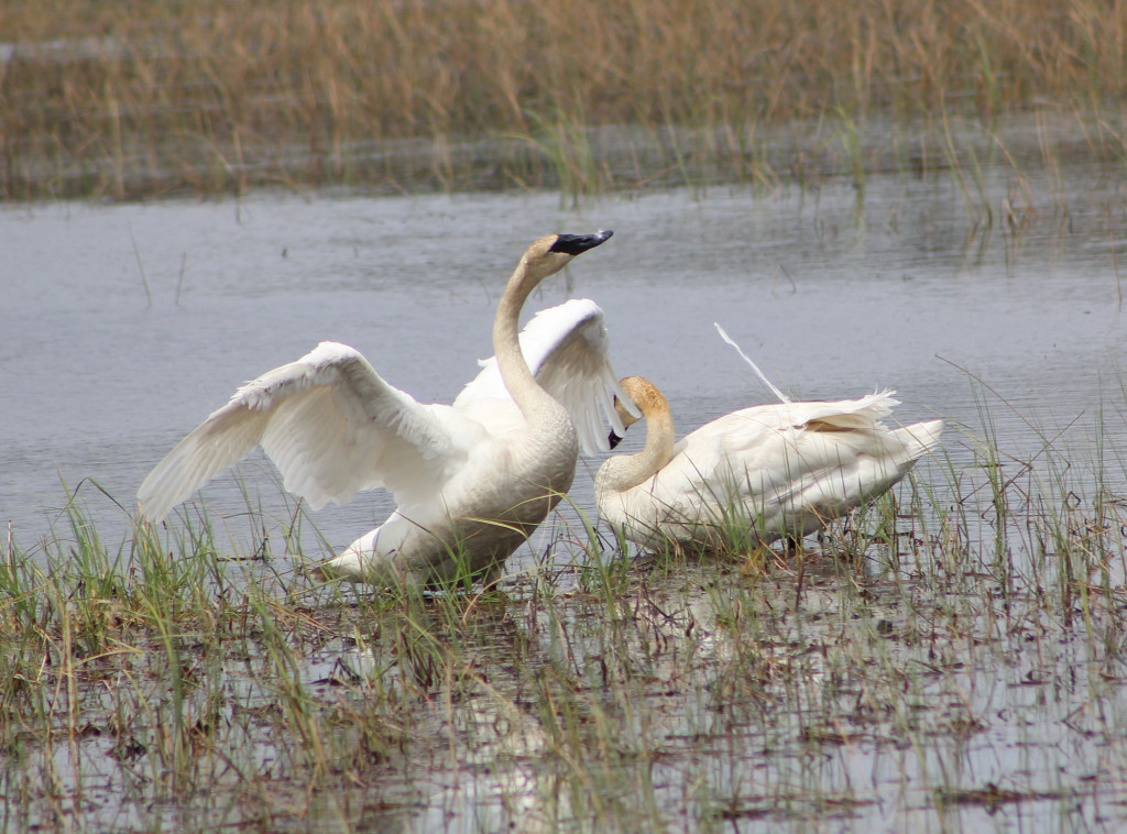
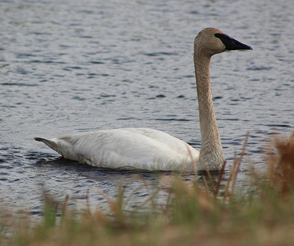
    There were times when I just stopped on the road, like with the swans. I sat there for a good 20 minutes, not wanting to disturb them as they preened themselves and suddenly the one spread his wings! Not one single car came past and was annoyed by my rudeness and I found myself thinking about wildlife photographers that probably sit for many hours, waiting for that absolutely stunning shot. I’m hoping some day that I’ll have that kind of patience.

    Whispering Pines is a canoe landing on the Namekagon River and offered a bench and a great place to enjoy my PB&J while the river babbled by. According to the sign at the landing: “The Ojibwe people took note of the sturgeon here. Namekaa-goong translates to “the place of the sturgeon” and this river celebrates their spawning place. The river and fish have always been linked. ”

    Although today was a little overcast, the rain that was supposed to fall went elsewhere. I don’t usually get that lucky, but it sure was nice!

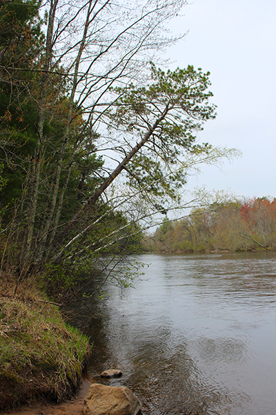
    Namekagon Trail Bridge Landing offers another peaceful setting and some tippy trees! I’m sure during the summer months this place is hopping with canoes and kayaks. The link for this landing also has great information on other stops on the Namekagon River, as well as places to camp and picnic. As cool as that all sounds, I really liked not having to share this beautiful scenery with anyone else (except you of course).

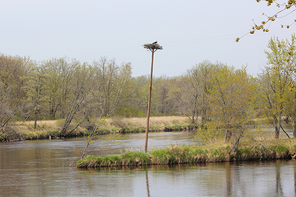
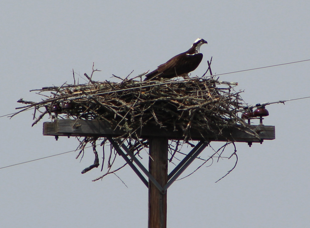
    Nelson’s Landing offers a great place for a nest for this beautiful Osprey. From the ground I thought it was a bald eagle, but in looking at my photo later, I didn’t think it was. Thanks to my very smart friends on Facebook, I have discovered Ospreys. He was quite handsome and wasn’t too worried about me as I slowly emerged from my car with my zoom. The link offers information if you’d like to raft and says it “provides scenic seclusion with fantastic views from the water.” I will agree that must be fantastic and seeing this Osprey made my day.

    Now we come up to the grand finale of today’s journey. I was gone for a total of 10 hours, but this day was just amazing. Crex Meadows Wildlife Area is located where highway F ends at Grantsburg. According to its brochure, “Crex is a 30,000 acre wildlife area with wetlands, brush prairies and forests scattered across a gently rolling landscape.”

    It goes on to say “Crex Meadows is home to 270 different kinds of birds, nearly every mammal found in Wisconsin and a good variety of reptiles, amphibians and insects. One of the highlights is the number of endangered and threatened animals present, such as ospreys, eagles, trumpeter swans, Karner blue butterflies, Blandings turtles, and red-necked grebes. During the fall migration you can see as many as 50 bald eagles, 8,000 sandhill cranes, 12,000 Canada and snow geese, 20,000 coots and thousands of ducks.”

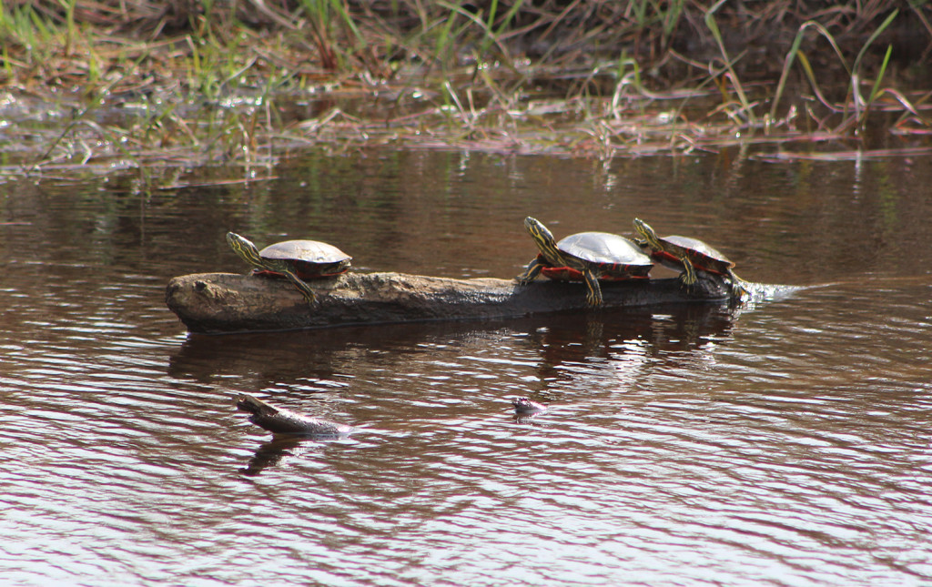
    The turtles were a kick to see up so close. I pushed the envelope when I saw some more down the road and tried to get out of the car to get an even closer shot. They heard my car door, even so very quietly and after the sound of all three plopping into the water, that was the last I saw of them. They were feeling a little shy and didn’t want their pictures on the internet!

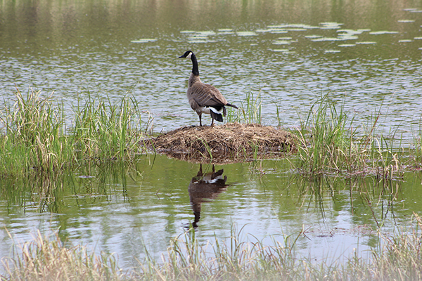
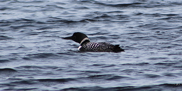
    I have a soft spot for Canadian geese. My husband calls them honkers and makes a sound just like them. This guy was perfectly happy just hanging out in the sunshine. The swan was right up close – right until he got out of the water, walked across the road and got the heck away from me. And of course there’s the Loon – everyone’s favorite since “On Golden Pond”.

    Well, that was a long day and a long post, but I hope you think it was worth it. I think I may return in the fall if there is even more wildlife to see. I love me some birds (and some turtles) and can’t wait for our next chat!

    Happy trails,
    Barb
  • Taliesin

    Taliesin

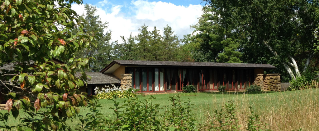
    Taliesin Wisconsin

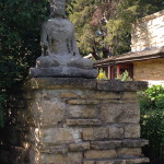
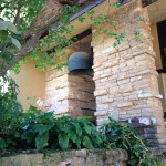
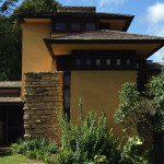
    Click on the first photo in each group and scroll to see the square photos at full size.

    In 1932 the Taliesin Fellowship was founded as a community that provided architectural training with a “learn by doing” approach. The community survives today as the Frank Lloyd Wright School of Architecture whose members, both faculty and apprentices, are still known as the Taliesin Fellowship and reside at Taliesin during the summer months.

    Taliesin Wisconsin

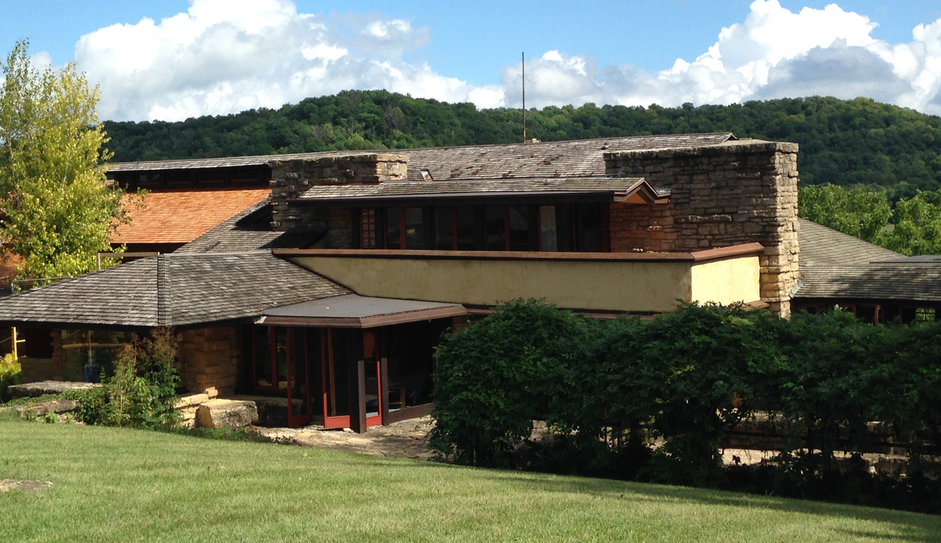
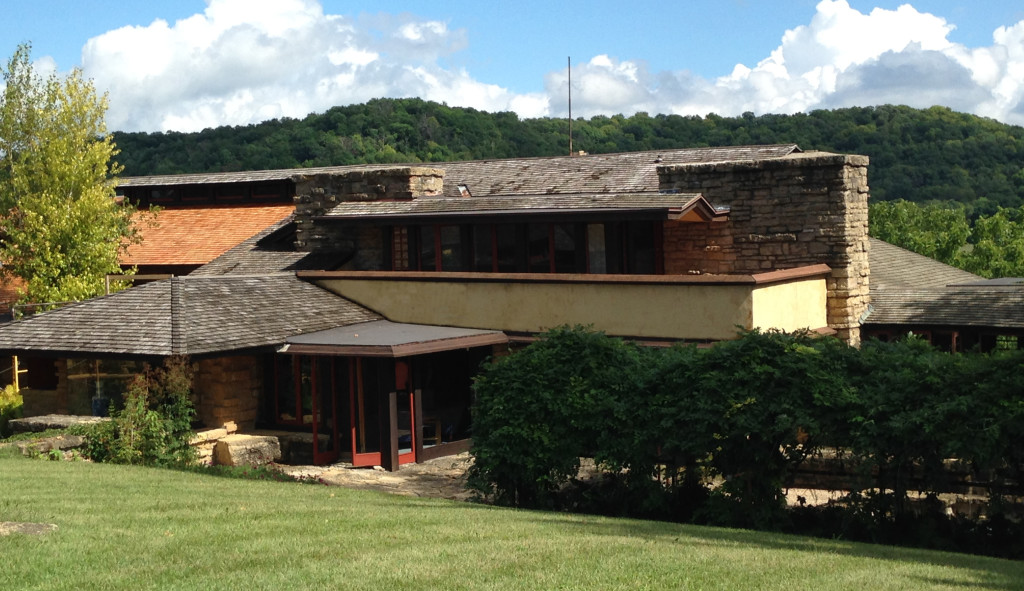
    Frank Lloyd Wright finished his schooling at UW-Madison and started his architectural career in Chicago, but he returned to the Wisconsin valley that his Welsh ancestors had settled – where he had spent many summers in his teens. There, in 1911, he began building Taliesin, which would be his principal residence and new studio for the remainder of his life. Like Taliesin West, it was a work in progress, as he and the Fellowship reworked it and kept adding on.

    It was truly a beautiful day when we visited Taliesin. There was a 70% chance that our tour would be rained out, but as you can see by the photos, not a drop. This was kinda where it all began for Frank Lloyd Wright. His home base. Again we had an excellent tour guide. She told us that the name Taliesin “shining brow” was chosen because the building wraps around the brow of the hill, but a Welsh poet named Taliesin may have also inspired the name, due to Wright’s love of his Welsh ancestry. We saw the interior and the gardens and truly enjoyed every minute of the two-hour tour. We may go back for the four-hour tour sometime in the future. I just can’t get enough!

    Did you know:

    • Of the 500+ buildings Wright designed through his life, one-third were built during the final decade of his life, including the Guggenheim Museum in New York, meaning he would have been in his 80’s.
    • More than one-third of his buildings are listed on the National Register of Historic Places or are part of National Register Historic Districts.
    • Twenty-four of his buildings are National Historic Landmarks, the highest honor bestowed on historic properties by the federal government.
    • His Wisconsin home, Taliesin, became a National Historic Landmark in 1976. In 2008, Taliesin was one of 10 Frank Lloyd Wright-designed buildings that were submitted by the United States National Park Service as nominees for World Heritage Status.

    For more of Frank Lloyd Wright, visit his category in the menu above or click here.

    Happy trails,
    Barb