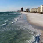
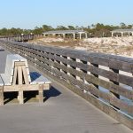
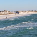
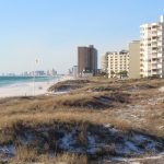
As we continue our road trip to escape Wisconsin’s winter, this morning we leave Panama City Beach – our home away from home for the past two weeks. As much as we’ve enjoyed it here, it’s time to move on to see new stuff!
Click on the first photo in each group and scroll to see the square photos at full size.
To start at the beginning of this series, visit Dodging the Deep Freeze 2020.
Moving our “home base” was an excellent opportunity to see some sights that were just out of reach on a day trip. If you follow this blog or if you know Jim and I at ALL, you know that we seldom take the fastest route when a short diversion (or six) will make the trip more interesting.
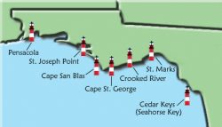 We already have a taste for lighthouses, with two Great Lakes bordering Wisconsin. When I came across a map of Florida lighthouses, it presented itself as a challenge. Since we are planning another Florida trip next year with a slightly different route, can we see every Florida lighthouse over the next two years?
We found out almost immediately that this may be a bigger challenge than we originally thought. Hurricanes and erosion have wiped out a few, some have become private residences, and in some cases urban sprawl and/or thick vegetation blocked our view from the opposing shore. So we revised our goal to check out the ferry situation and see as many as possible.
Lots of Lights
A large concentration of lighthouses were “on our way” from PCB to our next accommodations in St. Pete’s Beach. We canceled a high-point Saturday night in our timeshare for a hotel stay part-way there so we could enjoy more time on this coastal route without feeling rushed.
As you may remember from a previous blog, The Emerald Coast spans the Gulf of Mexico from Pensacola to Panama City. Today we’ll travel along Florida’s Forgotten Coast (Mexico Beach to St. Mark’s) and the Big Bend Coast (the Apalachicola River to Anclote Key). The coastline between Apalachicola and St. Mark’s are part of both.
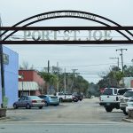
Our first stop of the morning was Port St. Joe, a small beach town on the shore of St. Joseph Bay. If the day had been less gloomy, we would have taken a closer look at its historic downtown, but for today we’re on a mission.
Old Information
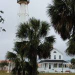
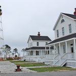
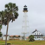
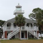
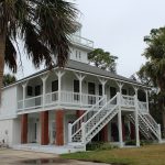
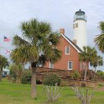
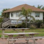
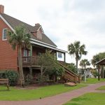
This is where we discovered that my trusty Florida lighthouse map was not quite up to date. Cape San Blas Lighthouse was built in 1849 (actually in Cape San Blas), and the light of the original 85-foot conical brick structure could be seen for up to ten miles. After years of winds and erosion – several rebuilds, redesigns and relocations were necessary to keep the lighthouse in working order. In 2014 the lighthouse, two keepers quarters’, and the oil shed were relocated to Port St. Joe and were opened to visitors. Just a year later, it was listed on the National Register of Historic Places. Visit this link for some really beautiful photos.
Repurposed
We traveled south of Port St. Joe for about two miles to find St. Joseph Point Lighthouse. There was no sign and we were slightly confused when we saw a car in a driveway. Turns out this lighthouse is now privately owned and closed to the public.
When we pulled up, a carpenter met me at the door. He wasn’t particularly thrilled about us being there at all – so he sure wasn’t going to let us in for the tour we were hoping for. I snuck a peek while he talked, and he was doing a fantastic job turning this once functioning lighthouse into a modern day residence. I wished I would have been brave and asked if we could go up into the tower, but I lost my nerve. There are some nice photos and some history about this area at the link that I found quite interesting.
“From the southernmost point of land along Florida’s Panhandle, Cape San Blas extends like an arm three miles west and then fifteen miles north, forming the oblong St. Joseph Bay. The bay was known to be one of the best harbors along Florida’s Gulf Coast, and in 1836 the town of St. Joseph was established on its shore.” – READ MORE
After a heartbreaking history which included yellow fever, the city of St. Joseph didn’t survive to see Florida become the 27th state in 1845. After about fifty years, people started to return to the area and the city of Port St. Joe was established about two miles north. Although there wasn’t much to see, we drove to the end of the Cape before getting back on track on our way to Apalachicola.
We Brake for Owls
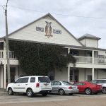
From the minute we arrived, we really liked the vibe in Apalachicola, and pencilled-in an overnight here next year. Click the link for a walking tour of the town. We have a group of timeshare friends called the OWLs, so this was an obvious choice for lunch. Our slightly early arrival helped us beat the crowds which later arrived, and our meal was fantastic!
Great Old Building
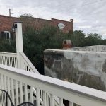
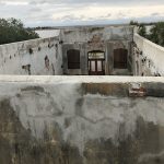
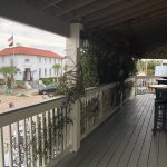
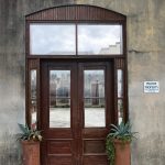
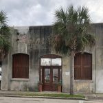
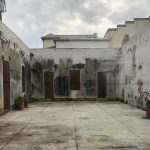
The deck of the Owl Cafe provided an OWL’s-eye view of this small town, and maybe on our next visit the weather will be more conducive to dining al fresco. The top-down view of the gutted building looked interesting, so we went around front to see what it was all about. Although I couldn’t get any information on what this building used to be (or is going to be), I thought it was pretty cool.
Across the Bay
After our quick visit, we took two lengthy bridges over Apalachicola Bay to St. George Island – one of four barrier islands in the Big Bend Coast of Florida.
“St. George Island consistently rates as one of the top beaches in the U.S., with miles of uncrowded expanses for sunning and shelling, clear Gulf waters for swimming and fishing, and pristine marshes for wildlife viewing.
St. George Island is protected by low-density zoning and strict building codes. This makes St. George Island a tranquil beach community with no high rises or chain stores. Visitors can rent a quaint beach cottage, a multi-story luxury beach home, or lodge at one of the two island hotels or inns.” – READ MORE
Full Moon Climb
While preparing this blog, I read about the Full Moon Climb. Once a month, visitors climb up to the lantern room of St. George Island Lighthouse and see the sun set over Apalachicola Bay and the full moon rise over the Gulf of Mexico – with stunning views of St. George’s Island. As with most lighthouse tours, it’s not an easy climb, but it sure sounds fantastic!
Crooked River Lighthouse
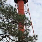
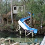
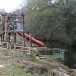
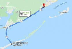 Three brick towers were built on Dog Island in 1838, 1851 and 1873 – and each were destroyed by hurricanes. The iron skeleton structure of the Crooked River Lighthouse has remained since 1895, was restored in 2007, and is listed on the National Register of Historic Places. This historic 103-foot lighthouse is the tallest on the Forgotten Coast and has a great little playground in the adjacent park.
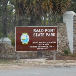
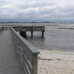
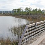
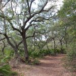
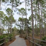
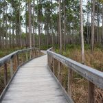
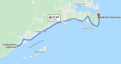 Land and water activities are plentiful at Bald Point State Park. The park is located near Alligator Point – where Ochlockonee Bay meets Apalachee Bay.
“Coastal marshes, pine flatwoods, and oak thickets foster a diversity of biological communities that make the park a popular destination for birding and wildlife viewing”.
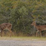
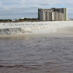
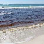
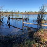
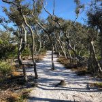
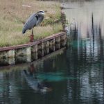
Perhaps on another visit we can explore this park to a greater extent to give it the attention that it surely deserves. Today’s weather wasn’t pleasant and recent rains made for muddy conditions. We did see some deer though, so that made my day!
St. Mark’s Lighthouse
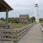
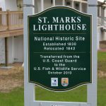
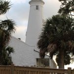
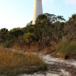
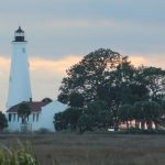
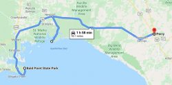 We have already added St. Mark’s National Wildlife Reserve and Lighthouse to our itinerary for another visit next year, because we had no idea this place would be so fantastic! We arrived later in the day and lost light quickly as the sun sank below the horizon.
“For nature lovers, wildlife abounds. Bobcats, alligators, and the occasional black bear can be seen. Many bird species nest and raise their young at the refuge. For those interested in history, the recently restored century-old St. Marks Lighthouse offers a glimpse into the rich history of the area. This is truly a special place. A sanctuary for wildlife and people.”
Here are a couple of great links for a nice video with some AERIAL VIEWS of the lighthouse and for some HISTORY about the lighthouse. This place was a great find!
More Beautiful with a Sunset
It was not easy to get a good shot of the lighthouse since we were so close to it and trees were in the way of most good shots. Once we put some distance between us and the lighthouse, it was a little easier.
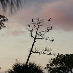
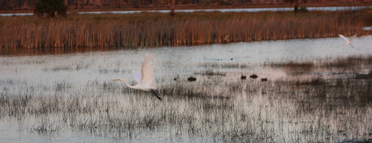
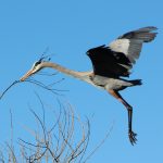
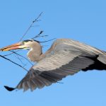
Next year we’ll get out our trusty Playmate and bag chairs and hang out by the marshes for more (and better) photos of the birds. A bald eagle was perched in a nest across the marsh, but he was too far away and the lighting was terrible, so you’ll have to wait till next year for better photos. From here we headed inland – to Perry – for a good night’s sleep.
Cedar Key Museum
The next day was pretty frustrating from a lighthouse-hunting perspective, but pretty great in other respects. After learning there would be no visual of Cedar Keys (Seahorse Key) Lighthouse from the shore, we had a great talk with a retired camper-worker at the Cedar Key Museum about its vast history before and during the Civil War.
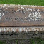
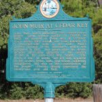
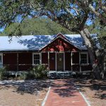
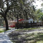
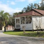
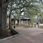
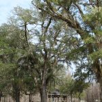
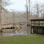
“Cedar Key Museum State Park encompasses 18 acres and offers an opportunity to imagine yourself as naturalist John Muir, taking a quiet walk past large pines and oaks down to view Cedar Key’s expansive salt marshes. John Muir did in fact spend a few months in Cedar Key in 1867, commemorated with a state historic marker located on the museum grounds.
The historic Whitman home also sits on the grounds, commemorating the life of St. Clair Whitman, whose collections of seashells and native American artifacts are featured in the museum. The home [is being] restored to how it would have looked in the 1920s, offering yet another portal into the past.” – READ MORE
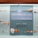
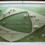
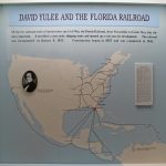
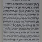
A graphic designer by trade, I absolutely LOVED the incredible museum displays – now vintage examples from the 1950s to 1960s by the U of Florida design team. When I get the opportunity to learn the history, but also LOVE the way the information is displayed, I am one happy camper. The displays below were two of my favorites. The work that went into the information alone is impressive. Then to display it in such a beautiful manner – really impressed me!
Maps, dioramas, and so much information.
More Frustration
We tried to catch a view of Anclote Key Lighthouse across the gulf from a point that seemed to be the closest, but the viewing area is now residential (and gated). When we were parked trying to get googlemaps to tell us where the heck it was, a man sporting a Packers decal on his car pulled out of his driveway. Since we had Wisconsin plates, he was more than happy to help us out, but he dashed our hopes when he told us the lighthouse could not be viewed from here. Of course we talked about the Packers’ disappointing end to the season, but we both agreed – there’s always next year!
By this time traffic was getting ridiculous, we were tired and we wanted to get checked in. No more sightseeing for this day!
Next up: Island Living
Happy trails,
Barb

