Category: New England

  • All Things New Hampshire

    All Things New Hampshire

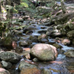
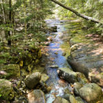
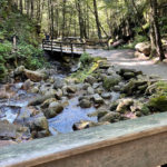
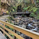
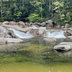
    This post is pretty much a combination of all things New Hampshire in one fantastic day! There were babbling brooks, wowworthy waterfalls, and tree-covered mountains with glorious views. There were walks in the woods, two covered bridges, and a stop at one of our favorite breweries.

    Click on the first photo in each group and scroll to see the square photos at full size.
    To start at the beginning of this series, visit Fall for New England 2021.


    Saving the Best Day in NH for Last

    Although we’ve visited a pretty large percentage of the states in this great nation, not many can compare to the beauty of New Hampshire. We’ve been here twice and I wouldn’t be surprised if we return in the near future for another dose of its beauty. If you missed my previous posts, start with Another Week of Wow!

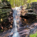
    First Stop: Silver Cascade

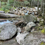
    I never gave much thought to the difference between a waterfall and a cascade. A waterfall flows over an edge and then falls freely. A cascade may flow quite steeply downhill, but it remains in close contact with the underlying rock. And there may be several small waterfalls within the cascade.

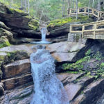
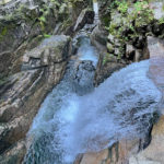
    Silver Cascade plunges and cascades 250-feet down Mount Jackson, under the highway, eventually joining up with the Saco River. Its parking lot location right alongside US-302, offers very easy access – making it one of the most popular attractions in New England.

    More Effort, Greater Return

    Unfortunately like a lot of other visitors, we stopped and took several pictures and then headed on down the road. Had we taken more time to explore, we could have climbed up to get closer to the falls – venturing beyond the roadside views. Many of the greatest photographs of this cascade have been taken by putting in more effort.

    Had we come a couple weeks later this year, the fall colors would have added a fantastic backdrop to this very impressive water feature. Click on this link to see a great photo of Silver Cascade in all its Autumn splendor.

    Next Stop: The Flume Gorge

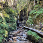
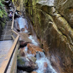
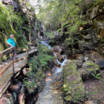
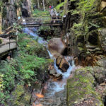
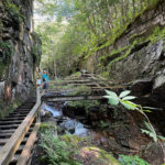
    Franconia Notch State Park straddles I93 through Franconia Notch – a mountain pass in the beautiful White Mountains. The park offers great fishing lakes and miles of hiking and biking trails, but no trip to this area would be complete without a stop at the fantastic Flume Gorge.

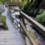
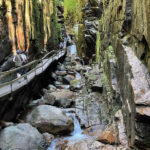
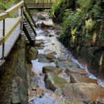
    The Visitor Center has information about the two-mile loop through the Gorge. Although they warn it is a strenuous walk, many stops along the way for photos and just to gawk can make it nice and relaxing. On a rainy day, the trail and stairs may be muddy and slick, but we didn’t have to worry about any of that on this absolutely perfect day.

    “Adopt the pace of nature: her secret is patience.” ~ Ralph Waldo Emerson

    Bridge over the Pemi River

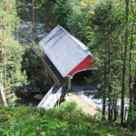
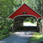
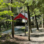
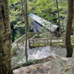
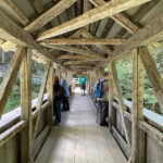
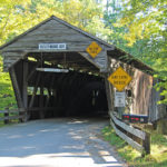
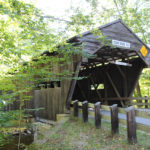
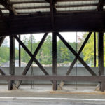
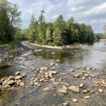
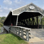
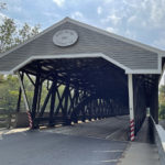
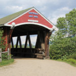
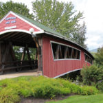
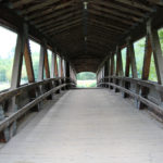
    The first stop on the loop is the Pemigewasset River Covered Bridge which was built in 1871. Also called the Flume Bridge, it’s only used by maintenance vehicles and pedestrians. There is a small walkway along one side of the bridge for better views of the river.

    Since there were only a few others wandering around on this lovely day, rarely did I have to wait for too long to get pictures with no other people. The sound of the babbling river and the cool breezes through the trees made today one of our favorite days.

    “And into the forest I go to lose my mind and find my soul.” ~ John Muir

    There She Comes Again!

    The falls were running a lot fuller on our last visit and the walkway seemed more slippery due to some splashing. Today was a perfect day and the only thing we had to worry about was a woman who was getting in her daily steps (literally) going up and down two or three times during our ascent.

    It really got to be annoying, especially since at some spots passing is not easy, and I got sick of her pink shirt in all of my pictures. Good news is we got some good exercise too! Once we got closer to the top, we could hear the sound of Avalanche Falls – the last two pictures.

    “After a day’s walk, everything has twice its usual value.” ~ G.M. Trevelyam

    Once we made it to the top, we emerged to an awesome view. Then we were back in the woods, but this time headed downhill for a great view of The Pool.

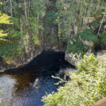
    “Beneath this point in the Pemigewasset River is a deep basin. Formed at the time of the ice sheet 25,000 years ago by a silt-laden stream flowing from the glacier. The cliffs surrounding The Pool are 80 feet high, the bowl is 150 feet in diameter, and 40 feet deep.” ~ from a sign nearby

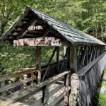
    Near The Pool we passed right by a small cave called the Wolf Den, because crawling on all fours is not in our wheelhouse anymore. Covered bridges are, however, just in case you don’t know that by now. Our first glimpse of the Sentinel Pine Bridge is shown below!

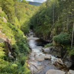
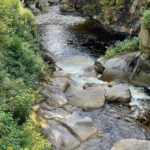
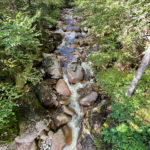
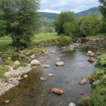
    The River Below

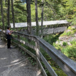
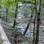
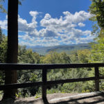
    The view from the Sentinel Pine Bridge was pretty fantastic too! It was nice to have some great scenery to check out while we waited for a traffic jam to clear.

    The Sentinel Pine Bridge

    “The Society for the Protection of New Hampshire Forests built this bridge in 1939 and maintained it until it was transferred to the state in 1948. The tall pine that gave the bridge its name once stood near the rear of the pool as if it were a sentry on guard. The great tree was over ninety feet tall, five feet in diameter, and estimated to be 100 years old when it was blown over in the 1938 hurricane.

    Workmen took a sixty foot piece of the tree and placed it over the river forty feet above the water just north of the pool. Taking other trees that were blown down, they made the footbridge over the pine to protect and preserve it. The bridge is put together with wooden pegs…” ~ READ MORE

    Lunch Stop

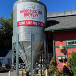
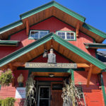
    The Woodstock Inn Brewery deserved another try since it was such a great memory from our last visit. There’s a beautiful photo of the place and a list of their craft beers at the link. I’m getting thirsty just remembering that list! I’d highly recommend a beer and one of their awesome chicken salad sandwiches on their flower-filled patio.

    Sabbaday Falls

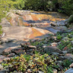
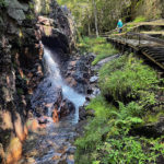
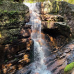
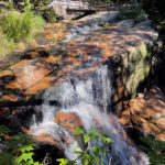
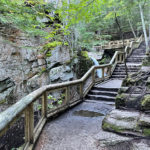
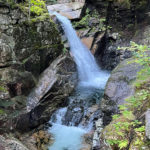
    “Sabbaday Falls is one of the most popular locations on the Kancamagus Senic Byway and is accesed via an easy 15 minute walk on an evenly graded and gravel surfaced trail from a paved parking lot, with a stone staircase and gravel walkway directly adjacent to the falls. The falls are a picturesque series of cascades in a narrow flume.” ~ READ MORE

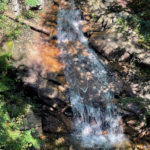
    After a pretty long day, we had just one more stop that was recommended by a friend. After a very pleasant stroll in the woods, a series of beautiful stairs followed Sabbaday Brook to the top of the falls – which were quite impressive!

    Farewell New Hampshire. We’ll be Back!

    Up Next: History 101

    Happy trails,
    Barb

  • New Hampshire Bridges

    New Hampshire Bridges

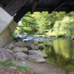
    Like the human body, the inside of a centuries-old covered bridge contains its framework and the outside shows its age (or maintenance budget). Under the bridge is a good place to find its heart and imagine what it has lived through – above the ever-changing flow of a river.

    Click on the first photo in each group and scroll to see the square photos at full size.
    To start at the beginning of this series, visit Fall for New England 2021.


    The Life of a Bridge

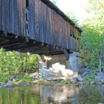
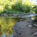
    The Cold River may look tame and babbling in the pictures below, but imagine how difficult and dangerous it would have been to cross during spring floods – when it was raging! There was definitely a need to safely get farm wagons across rivers to transport goods to market. Rather than standard specifications like we have today, early bridges were sized to “a load of hay high and a load of hay wide.”

    Adding a roof to a wooden bridge offered it protection from the elements, thereby extending its lifespan. Iron bridges became the norm in the mid-1800s making roofs unnecessary – and with height, width and load restrictions also lifted, the eventual phase-out of covered bridges had begun. Currently there are 54 historic wooden covered bridges still standing in the state. We saw ten – so clearly we have more exploration to do in New Hampshire!

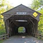
    Durgin Bridge

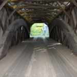
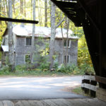
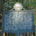
    Although the sign on the bridge boasts 1828, the sign-painter must be referring to the first bridge that was constructed at this location. The current bridge is the fourth, built when the other three washed away in 1844 and 1865, and again in 1869 when the Cold River became so violent that it twisted and snapped the 2-inch diameter iron bolts used to secure the bridge to huge boulders. Jacob Berry of North Conway did a fine job constructing this new bridge, since it has only been repaired and strengthened two times since.

    For the Love of New Hampshire

    As we checked out the Durgin Bridge, we met a friendly woman who was walking her dog. She seemed excited to be talking to someone other than Rover, and eagerly shared her love of New Hampshire and a life-altering choice that she has been contemplating.

    Her and her husband have differing opinions on where they should winter during retirement. He prefers warmth and recently headed south, but she loves New Hampshire and has yet to follow. With some political friction in the mix, I was left wondering how that story will end.

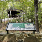
    The Durgin Bridge was a link in the underground railroad from Sandwich to North Conway and is listed on the National Register of Historic Places.

    NOTE: We saw the Durgin Bridge during our visit to Castle in the Clouds in Moultonborough.

    Albany Bridge

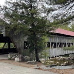
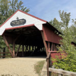
    The first bridge on this site was built in 1857 and was destroyed by floods a year later. The U.S. Forest Service and the town of Albany have tackled many projects over the years to keep this bridge in great condition.

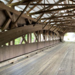
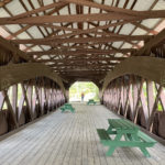
    With one major restoration in 1958, the crew tried to replicate the original design as much as possible – with natural wood beams replacing the rotting ones. The wooden pegs used to put it all back together were crafted by the grandson of one of the original builders, from 40-60 year old ash trees. The last major renovation in the early 1980s replaced the wooden floor timbers with steel.

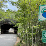
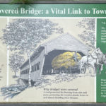
    There is a large parking lot, restrooms and several interesting signs on both ends of the bridge with great information about life way back in the day – when a trip into town took three hours instead of today’s several minutes. The bridge is closed during the winter months, except to walkers.

    It’s a Beauty!

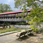
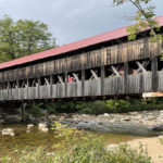
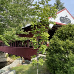
    The Albany Bridge is also known as White Mountain National Forest Bridge. With a bench to rest a bit next to the crystal clear waters of the Swift River, this is one of the most photographed covered bridges in New Hampshire.

    I got a great photo of Jim leaning out of one of the openings in the bridge – an “oh ya!” moment that another couple copied as we were leaving. The Albany Bridge is eligible for listing on the National Register of Historic Places.

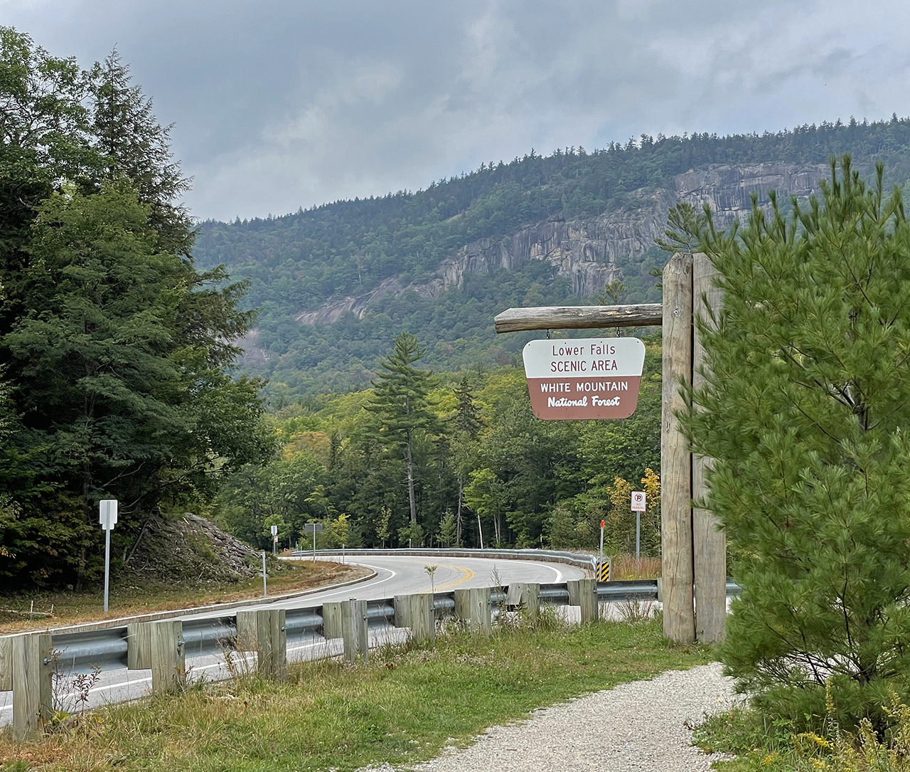
    Lower Falls Scenic Area

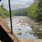
    We can’t have an entire post about four covered bridges without celebrating the river that runs beneath three of them! The Swift River is almost 26 miles long and its entire length flows along the scenic Kancamagus Highway (NH Rte 112). It originates in Livermore, NH, flowing through the town of Albany (under the Albany and Swift River Bridges), and into the Saco (Saco River Bridge) in Conway.

    Hot Spot to Cool Off

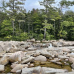
    Lower Falls Scenic Area is a very popular destination on this beautiful highway. Although none of the “falls” are large, the Swift River cascades over smooth granite rocks into large pools – like a natural water slide. The pools are plentiful and once the current of the Swift River calms down and the water temperature rises in early summer, this beautiful place can bring large crowds to play in the mountain water.

    There is plenty of parking with facilities and picnic tables with grills, and this area was recently updated for easy access for folks with disabilities. If the water is high and/or rushing through this area, you are advised not to swim as it can be extremely dangerous. Today the water level was just perfect and several folks braved the cooler weather to take a dip, but we did not.

    Swift River Bridge

    “The first bridge on this site was built by John Douglass in 1850. It gave much needed access to the north using West Side Road and served local commerce well until the spring of 1869. At that time, heavy rains swelled the river and the raging waters lifted the bridge from its foundation, turned it around, and sent it rapidly downstream into the Saco River Covered Bridge knocking it off its moorings. Both damaged structures broke up and came to rest two miles downstream.

    In a striking demonstration of Yankee thrift, much of the lumber salvaged from these two bridges was used in the building of the new Swift River Covered Bridge constructed by Jacob Berry and his son Jacob Jr. The current bridge was bypassed when a new concrete and steel bridge was built nearby in 1974. The Swift River Bridge is eligible for listing on the National Register of Historic Places.” ~ READ MORE

    Bring your Lunch!

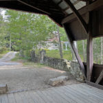
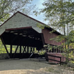
    Before the Swift River Bridge was replaced with the new concrete and steel bridge downriver, it was only a single lane bridge – which now works out perfectly as a picnic area! Too bad we didn’t know about this earlier!

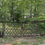
    We always enjoy walking through the bridges to see both sides. In this case, the less-seen side was in need of a paint job, but the house up the road and its wonderful iron gate made up for the bridge’s tattered appearance.

    Saco River Bridge

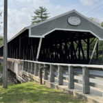
    The only way across the Saco River at this location was over a crudely-framed log bridge until its demise in 1850. The 1850 bridge stood until the Swift River bridge crashed into it in 1869 (see inset above). The Saco River Bridge was rebuilt but destroyed again by a tannery fire in 1890. The current bridge was built in 1890, but fully restored in the late 1980s.

    It really is a beautiful bridge with sidewalks on both sides. In the photo of the rivers below, you can see where the Swift and Saco Rivers converge and then the Saco continues its journey east to the Atlantic Ocean.

    Relax and Refresh

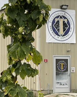
    Our last stop of the day was at Tuckerman’s Brewing Company for a craft beer. The tasting room was closed today and because of Covid our options were to sit outside or sit outside. Under normal circumstances we would have preferred to sit outside, but the clouds had gotten slightly more threatening while we made our choices from the extensive beer menu.

    Luckily a huge tent with Adirondack chairs and a large stage was one of our options outside, so at least we would remain dry while we wet our whistles. On a future visit, we’ll check the music schedule before we come.

    It was awesome to relax, refresh and reflect on today’s beautiful sites here in New Hampshire. We almost made it “home” before the skies opened up and drenched us on our mad dash from car to condo. Good thing I bought a raincoat at an earlier trip to Walmart this morning. Jim was not so lucky.

    Next up: All Things New Hampshire

    Happy trails,
    Barb
  • Climb to the Clouds

    Climb to the Clouds

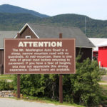
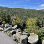
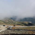
    The sign warns that the Mount Washington Auto Road is a steep, narrow mountain road with no guardrails and some gravel. If we have a fear of heights, we may not “appreciate” this driving experience and guided tours are available. Since we have driven on all sorts of roads in all sorts of conditions, let’s do this! 

    Click on the first photo in each group and scroll to see the square photos at full size.
    To start at the beginning of this series, visit Fall for New England 2021.


    We’re Not Babies!

    The fear-of-heights-part of that opening statement had Jim a little nervous – but we’re not babies! We’ve driven up Pelican Butte and in the Big Horns, Rockies and Smokies. We’ve driven the road to Hanna (into the morning sun with a dirty windshield) and the road to Oatman. We’ve driven back to Iowa in feet of snow, torrential rains and after ice storms.

    Many times we’ve driven on the edge of a shear cliff called Blizzard Gap near Winnemucca. Jim headed down that one in snow one December. That was before my time (thank goodness) because a return trip in the spring would’ve been necessary to retrieve me! They put the chains on the front tires for that portion of their trip.

    “On Hwy. 89 from Prescott to Wickenburg there’s another fun road called White Spar by the locals. According to the guy that posted this video, “Route 89 is arguably one of the best motorcycle roads in Arizona!” If you watch the video, at one point you can see where the oncoming lane disappears, and for a stretch this highway becomes a double-decker, returning a ways later. If you can stomach the video, you are truly ready for the drive, because it’s not nearly as stressful on four wheels.” ~ from Red Rocks to Sin City

    We headed off on our adventure confident in our abilities to handle this measly 7.6-mile trek.

    So Far So Good!

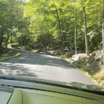
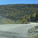
    We started off like any other road trip. Lush green trees and curvy roads. This is going to be fun and the views will be fantastic! Jim’s palms had already begun to sweat.

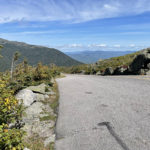
    So far so good. Nice big boulders to keep us on the road with not much drop-off, and the sky was absolutely beautiful. Jim could not look at the sky, he was looking at the road!

    Stay in Your Lane!

    OK, we’re getting a little more serious here, but the sky is so beautiful! There’s oncoming traffic? Hope those idiots stay on their side of the road!

    No More Pics till the Top

    Camera’s in the back, but trust me we were on the edge at many points. I had my window down so I could lean out and give Jim just a little more warning about oncoming cars. I may not have been pushing an imaginary brake, but I was leaning and hanging on to the side of the car so tightly that my arm was cramping up!

    There were certain areas where there was a TAD more room for two cars to pass by each other, and our timing was pretty good with those. I’ll have to admit this is getting a little unnerving and Jim is not happy!

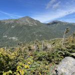
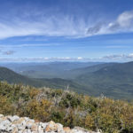
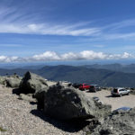
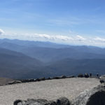
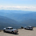
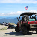
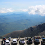
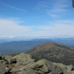
    Once we got to the top, I took the video below and hopefully it’s not blurry from my shaking hands. Now THAT was an experience! Of course the views from the top made it all worthwhile – for me anyway. Not so sure about Jim.

    America’s Oldest Man-Made Attraction

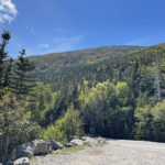
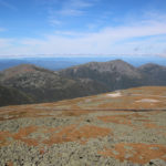
    Open to the public in 1861, this privately-owned road climbs 4,723 feet (in 7.6 miles) from the base area, and reaches more than a mile into the sky to the highest point in the Northeast (6,288 feet). Bring a jacket (or coat) since temps drop considerably and winds are intense up there. We picked the warmest and least windy day of our stay in Bartlett to visit, and it paid off. Clear skies through most of our stay made this a wonderful experience (except for the drive up lol).

    Extreme Weather Museum

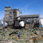
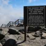
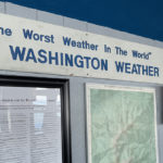
    At the summit is Mt. Washington Observatory and its Extreme Weather Museum, which was free with the fee at the entrance. Very interesting stuff in the museum with some great photos of some EXTREME weather, that’s for sure. It takes very dedicated people to be able to withstand these conditions all in the name of science.

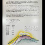
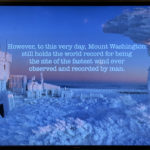
    Be sure to read some of the info in the photos below with temperature, wind and snow records. Turns out we were pretty lucky on this gorgeous day since Mt. Washington is in the fog more than 300 days a year!

    More Vantage Points

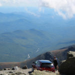
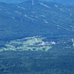
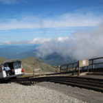
    We could see the bright red Mount Washington Hotel (photo below), down the mountain about 3,000 feet! Of course it took full extension of my zoom lens and with the whipping wind, the photo is not good. I have somewhat better photos of that fabulous place at the link. In the other photos just below you can see the main road and the Mount Washington Cog Railway tracks.

    Other Ways to the Top

    In the video just above, folks are almost to the summit using one of the many miles of hiking trails that traverse the mountain. We didn’t look into the trails, but talked to several folks who were finishing their climbs and the time it took ranged from four- to twelve-hours, so there must be shortcuts or less rambling routes. I don’t care how treacherous the drive was (for Jim), but it was better than walking – especially in that rough terrain, with ever-changing weather conditions!

    “Mount Washington is the highest point in New England and the highest peak in the White Mountains of New Hampshire. Often called the most dangerous small mountain in the world, Mount Washington is recommended for experienced hikers and climbers who can handle significant elevation gain.” ~ READ MORE at alltrails.com

    If driving (or being driven) or walking does not appeal to you, perhaps the Mount Washington Cog Railway is your cup of tea. I’m assuming that the folks who hiked up may want a ride back down? I know I would, although I would have preferred the ride up.

    Top Speed at 130 Miles per Hour?

    Click the link for a video of the Subaru Mount Washington Hillclimb – better known as the Climb to the Clouds. In August of 2021 Travis Pastrana set a new record in a race up Mount Washington, outdoing his 2017 record with a jaw-dropping time of 5 minutes and 28.67 seconds. It took us an extra half hour. I can’t even imagine!

    “For anyone who has driven the 160 year-old Mt. Washington Auto Road, this blisteringly-fast time to reach the summit is almost inconceivable. Typically travelers go between 20-25 miles per hour on the road as there are no guardrails on the narrow asphalt and gravel surface that features dramatic drop-offs into the Great Gulf Wilderness. Pastrana averaged 80 miles per hour on the 7.6 mile course with a top speed in excess of 130 miles per hour.”

    What an amazing adventure this was, but now we have to get back down! We were instructed to use low gear on our descent to save our brakes and keep us at slower speeds. Jim’s palms have already begun to sweat!

    Next up: New Hampshire Bridges

    Happy trails,
    Barb
  • Castle in the Clouds

    Castle in the Clouds

    Last time we were in Moultonborough was one week before “season” and this entryway was gated. Reminiscing about that day, it was rainy and cloudy and our views would have surely been compromised anyway. I don’t know if it was fate or just dumb luck, but we returned nine years later on a truly spectacular day.

    Click on the first photo in each group and scroll to see the square photos at full size.
    To start at the beginning of this series, visit Fall for New England 2021.


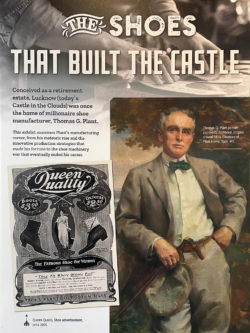
    Born in 1859, Thomas Plant left school at age 14 to help support his family. He worked at many jobs before his apprenticeship at a shoe factory, where he quickly worked his way up to one of the better paying jobs in shoe manufacturing.

    Plant started the Thomas G. Plant Company at age 32. With over 5,500 workers at his state-of-the-art factory in Jamaica Plain, MA and several patents that helped revolutionize the shoe-making process, the facility was highly productive and Plant’s innovative business philosophy promoted this success.

    One Key to His Success

    Plant was especially concerned about his employees’ wellbeing, so he offered recreational activities at the factory for a happier and healthier work force. Coming from a modest, working class background, he was happy when his employees were happy – and it certainly was good for business.

    By 1910, his was the largest factory in the U.S. and the largest shoe factory in the world, producing six million pairs of Queen Quality and Dorothy Dodd women’s shoes annually.

    Time to Retire

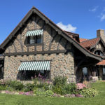
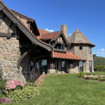
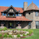
    In 1910 Plant sold his business (and the patents for his shoe machinery) for $6 million and retired from the industry. Over the next few years he purchased 6,300 acres in Moultonborough and Tuftonboro, NH, where he and his wife Olive built Lucknow – their 16-room Arts and Crafts paradise.

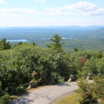
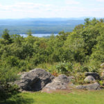
    Overlooking Lake Winnipesaukee and the Ossipee Mountains, this rocky outcropping of Lee Mountain was formerly known as The Crow’s Nest.

    Turns out money doesn’t stretch nearly as far in retirement when living so lavishly and Tom was unwilling to log any of his many acres – even to save Lucknow. By the early 1920s, parcels were mortgaged and he eventually mortgaged the entire estate to a friend, who let the Plants remain in the house until Tom’s death in 1941. In 1956 the grounds were opened to the public as Castle in the Clouds.

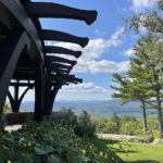
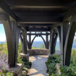
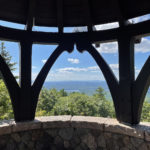
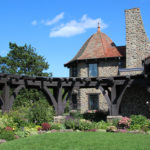
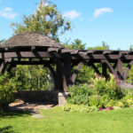
    Century-old Pergola

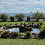
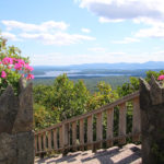
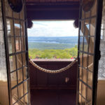
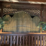
    While we waited for our tours to start, we enjoyed 180-degree views of Lake Winnipesaukee from under the pergola. It was fabulous from every angle.

    Blending Innovation with Nature

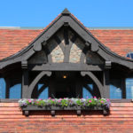
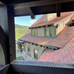
    Lucknow was built with then-cutting-edge materials (steel beams, poured concrete and terra cotta architectural blocks) and state-of-the-art amenities (central vacuuming, ammonia brine refrigeration, intercom systems). It was designed to harmonize with its surroundings, using natural and sometimes local materials to create a rustic, handcrafted look. The craftsmen who built the home really knew what they were doing!

    “The oak woodwork (hand hewn), which comprises a large part of the outside structure, was made by old time craftsmen in the shipyards at Bath, Maine. These men are skilled in the shaping and fastening together of ship timbers with oaken dowels, work that lasts a lifetime.” ~ Thomas G. Plant, 1924

    Expansive Views with Pops of Color

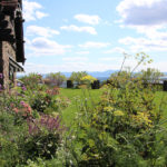
    Lake Winnipesaukee stretches for 71 square miles and containers of flowers tempted us to take a closer look. I can imagine that during the summer months, the flowers are even more abundant and spectacular. They would almost have to be, to divert the eye from that view!

    A Variety of Tours

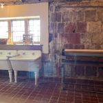
    The basement tour was an add-on and well worth the upgrade. This 45-minute guided tour highlights the bones of the house, and feature the ultra-modern appliances and amenities and how they were connected to the upstairs. The tour also offers a glimpse into the lives of the staff who helped run and manage the Lucknow Estate in the 1910s and 1920s.

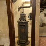
    The contraption in the first photo (affectionately referred to as Rosie) was one of the innovations at the time – a central vacuum system. It wasn’t until years later that the more portable versions were invented.

    Bring the Outside In

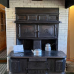
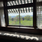
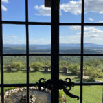
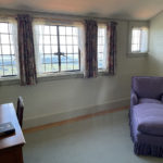
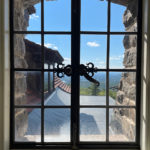
    Beautiful iron windows and doors provide views from every room in the house.

    “The interior of the house is most livable with its air of restfulness and home comfort. It is rich without looking costly, simple, yet beautiful and artistic.” ~ Thomas G. Plant, 1924

    More Breathtaking Views

    Many Thanks…

    … to the Castle Preservation Society for taking such good care of this fabulous place and keeping it open for all to see from late May to early October. Check CastleintheClouds.org when you’re in the neighborhood and be sure to visit. There are special events throughout the year, especially around the holidays. The property was listed on the National Register of Historic Places in 2018.

    Up Next: Climb to the Clouds

    Happy trails,
    Barb
  • Another Week of Wow!

    Another Week of Wow!

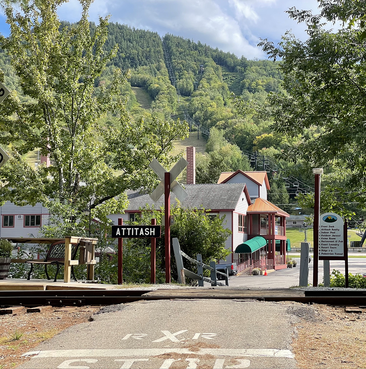
    This week we moved our home base from Vermont to Bartlett, NH. Our resort in the woods was across the road from the foot of a ski hill and near the Attitash whistle stop. There was no snow on that hill (thank goodness!), which gave us plenty of opportunities to explore the splendor of New Hampshire.

    Click on the first photo in each group and scroll to see the square photos at full size.
    To start at the beginning of this series, visit Fall for New England 2021.


    The Early Birds Get to Wait

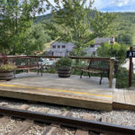
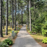
    We arrived before checkin at the Attitash Mountain Village – our second week at an RCI resort of this month-long trip. In this case our wait was a very pleasant one. We were told there was a restaurant/bar onsite where we could have killed some time, but it was a lovely day and we decided to explore the resort a little. A quick walk on a wooded path took us back to the condos, and we wondered which one would be ours. We ended up on a bench at the whistle stop.

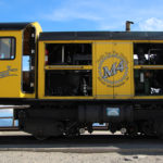
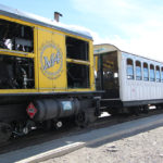
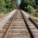
    The Conway Scenic Railroad goes right by here on its way to Crawford Notch. When guests at Attitash buy a ticket for that tour, the train makes a special stop here to pick them up, saving a drive into North Conway and back.

    Although the train ride was something that we were hoping to do, it didn’t happen on this trip. The reasons to come back to this area are starting to stack up!

    Off-Season Travel

    We love traveling off season since kids are back in school and we’re usually ahead of the fall – or in this case – winter rush. Although we do love the fall colors, we don’t love the crowds, especially with Covid still on people’s minds. In this in-between window, we usually don’t have to vie for views or wait for people to move out the pictures I’ve got planned in my head.

    A one-man band serenaded us by the pool as part of the resort’s Saturday night activities, so we listened for a while until our unit was ready. Once we unloaded, we opted to skip the music. After many trips up MANY stairs (and no adult beverages allowed outside of our room) we opted to chill inside our new digs.

    When I was trying to name this road trip, Fall in New England seemed a logical name, but with temps in the mid- to upper-70s and the flowers still in fantastic shape, Fall FOR New England seemed a better choice. I know I’M falling…

    Getting Organized

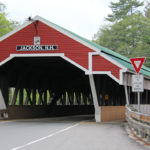
    Next day we got organized, bought a few groceries and saw three interesting covered bridges that were close by. The Honeymoon Bridge was built in Jackson Village in 1876 and spans the Ellis River.

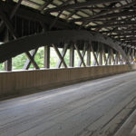
    This covered bridge was built by Charles Broughton and his son. During the Civil War Charles was a sergeant in the 18th Regiment of the New Hampshire Volunteers, Company E. He was a finish carpenter, an avid fiddler, and a skillful bear hunter. For ten years he was an agent for the Swift River Lumber Company in Albany, New Hampshire. According to town records, the sidewalk was added in 1930. Originally, the trusses were more exposed than they are today. In 1965 the approach from N.H. Route 16 was rebuilt to improve visibility and to provide parking. The Honeymoon Bridge is eligible for listing on the National Register of Historic Places.

    Golf Carts Only

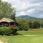
    At the Wentworth Golf Club in Jackson Village, this handsome bridge was built to keep golfer’s feet dry! This course offers outstanding views of a beautiful mountain range, along with the Wildcat and Ellis Rivers that meander through the course. Click on the link for more great photos of this bridge, and the course itself – it’s really beautiful!
    When we saw this bridge in a distance, we had no idea it was on a golf course. Jim dropped me off to get a closer look and I had an opportunity to chat with a foursome as they were enjoying their retirement on the course. They all moved here from somewhere else because “New Hampshire is a great and beautiful place to live!”

    A Little Retail Therapy

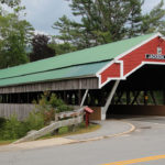
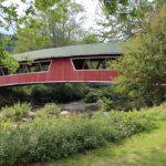
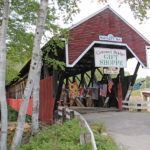
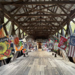
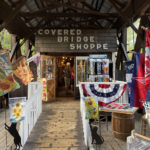
    Our last historic covered bridge (of the day) is located right in Bartlett. Built in 1850, it was strengthened for vehicular traffic in the 1920’s. This bridge carried traffic over the Saco River for more than 80 years until it was replaced by a steel bridge in 1939. In 1965, the bridge and the land around it were sold and this gift shop was built inside. The fourth owners of this historical property plan to maintain its condition for future generations to enjoy. Click on the link to get more history and more information about the Bartlett Covered Bridge Gift Shoppe.

    Early Night

    When we returned back “home” we were wondering if all of New Hampshire’s covered bridges were going to be so “unique”, so time will tell. We spent the evening in, watching the first regular-season Packers game – utterly humiliating. A power outage around 9:30 reminded us that yes, we were really tired and should probably retire early. Tomorrow’s going to be a great day!

    Next up: Castle in the Clouds

    Happy trails,
    Barb