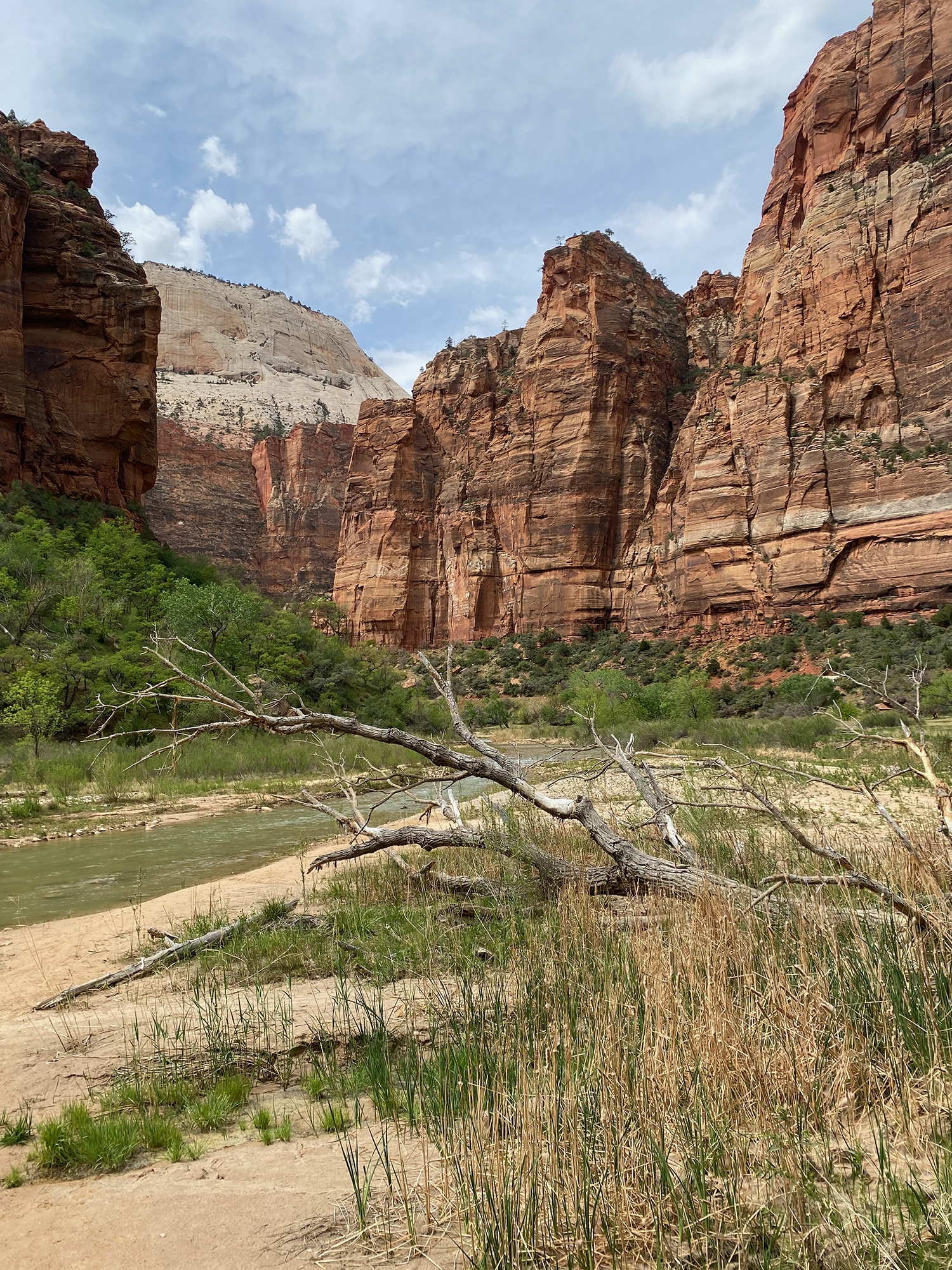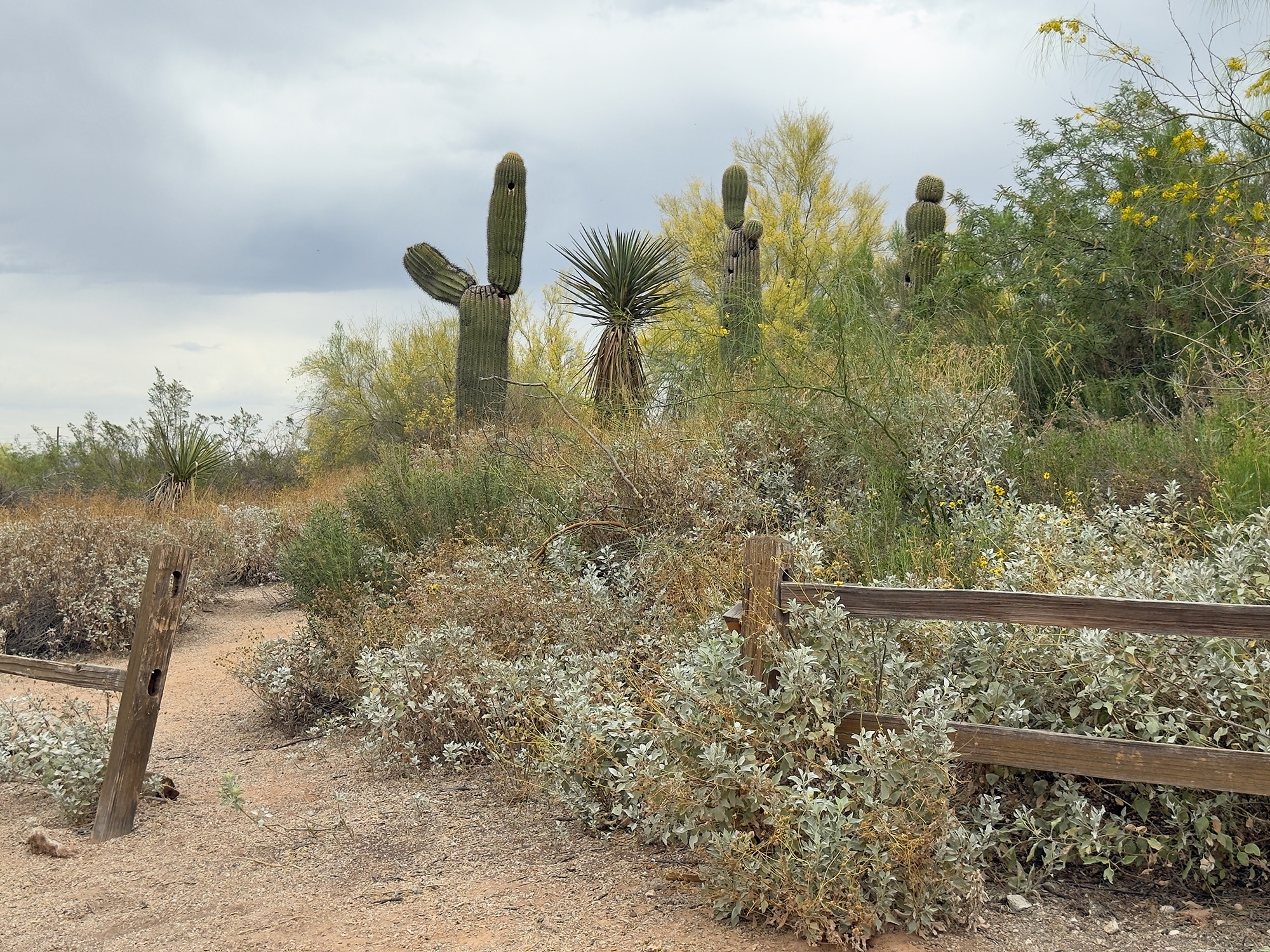
The Road to Zion
As you probably know by now, if there’s fantastic scenery from point A to point B, we’ll rarely take the fastest route. We’ll go quite a ways out of our way to see beautiful sights we’ve never seen, and sometimes wild and winding roads add to the entertainment value!
To start at the beginning of this series, visit The Spectacular Southwest.
The Scenic Route
Last time we went to Zion was in very-early March of 2019 after a week in Las Vegas (Zion in the Mist). That morning, we got an early start – hoping to beat the crappy weather headed our way. We packed our car in drizzle, and it only got worse from there. Although the weather was pretty miserable, the low clouds and grey skies offered an ambiance we will never forget. This trip’s visit was much more pleasant and equally as beautiful – maybe more so since we could actually see the top third of the mountains.
U.S. Route 89 is the historic (and fabulous) north-south corridor that stretches from Flagstaff to the Utah border. A lot of Arizona’s beauty can be enjoyed via that Route, and if you combine it with State Route 89A, you’ll have access to another 84-mile scenic masterpiece that includes Sedona’s Oak Creek Canyon (one of my favorite Arizona drives) and today’s route to Zion.
Today we headed north on U.S. Route 89 from Flagstaff to Bitter Springs – where 89A splits from 89. We decided to stay on 89 just a tad longer to catch an awesome peek at Antelope Pass Scenic Overlook. The block quote below indicates better times of day for pictures of this gorgeous overlook (rather than straight up noon). That’s why there’s only one picture, and it’s not a very good one.
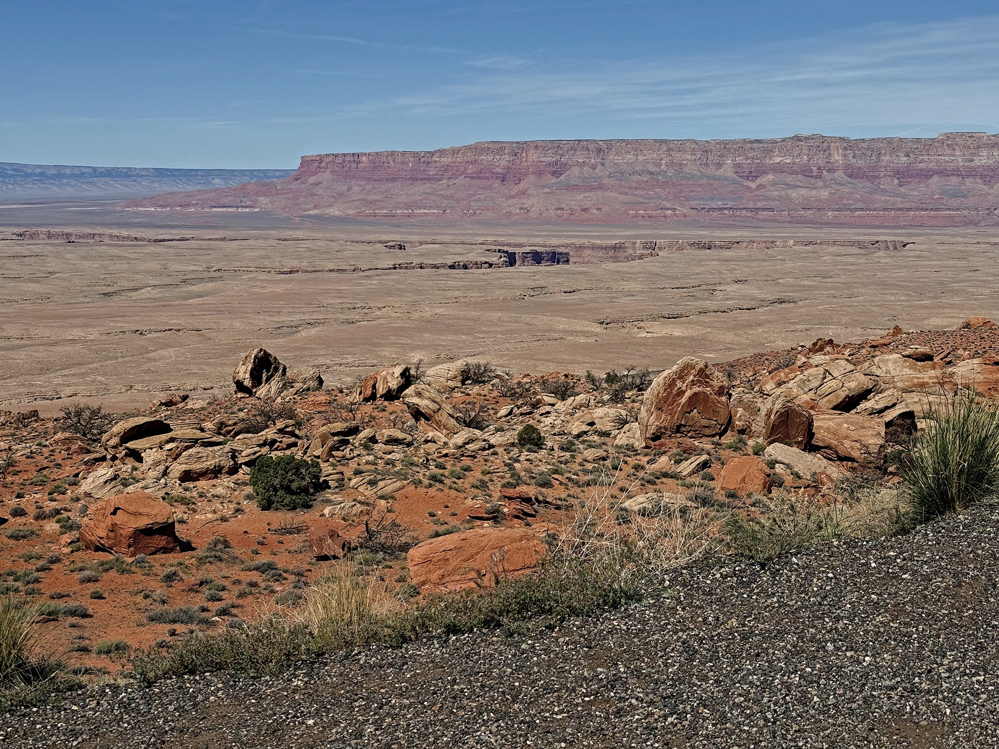
“Antelope Pass Vista crowns a steep three‑mile ascent of US‑89 between Bitter Springs and Page, AZ. Perched at 6,151 ft., the pull‑out reveals a layered geologic story: red Echo Cliffs in the foreground, the pastel Painted Desert beyond, and Marble Canyon slicing south toward the Grand Canyon. Because it sits inside the Navajo Nation, no federal park pass is required and access is free year‑round. The stop has no facilities, but its paved parking makes it a convenient pause on the drive to Page, Lees Ferry, or the North Rim. Photographers prize the low‑angle light that ignites the cliffs at dawn and dusk, while travelers appreciate a safe spot to stretch legs and absorb the vastness of the Colorado Plateau.” ~ READ MORE
Back to Bitter Springs
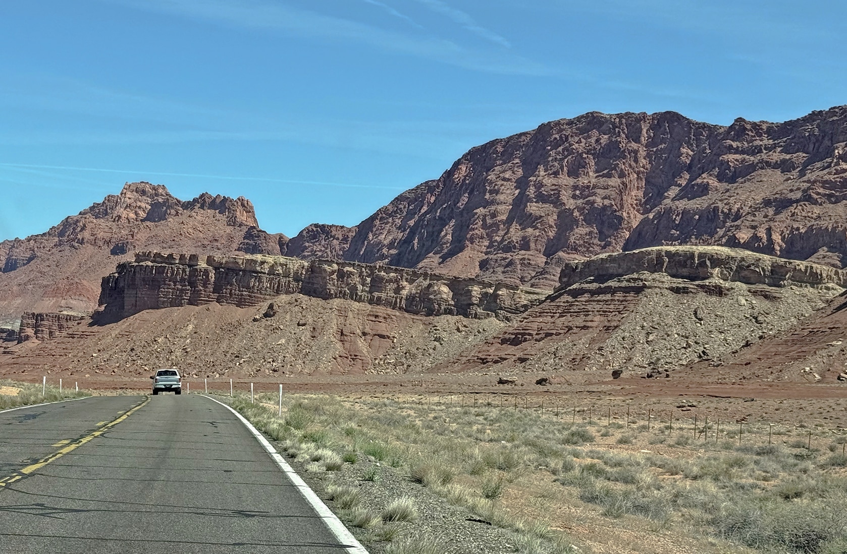
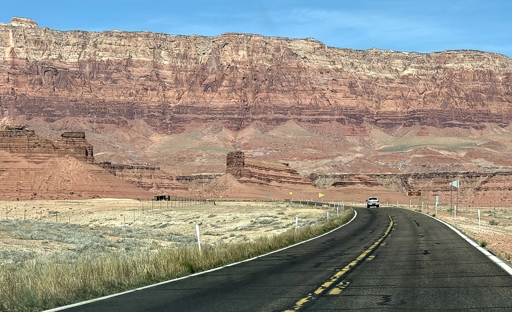
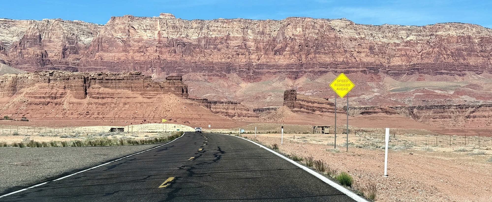
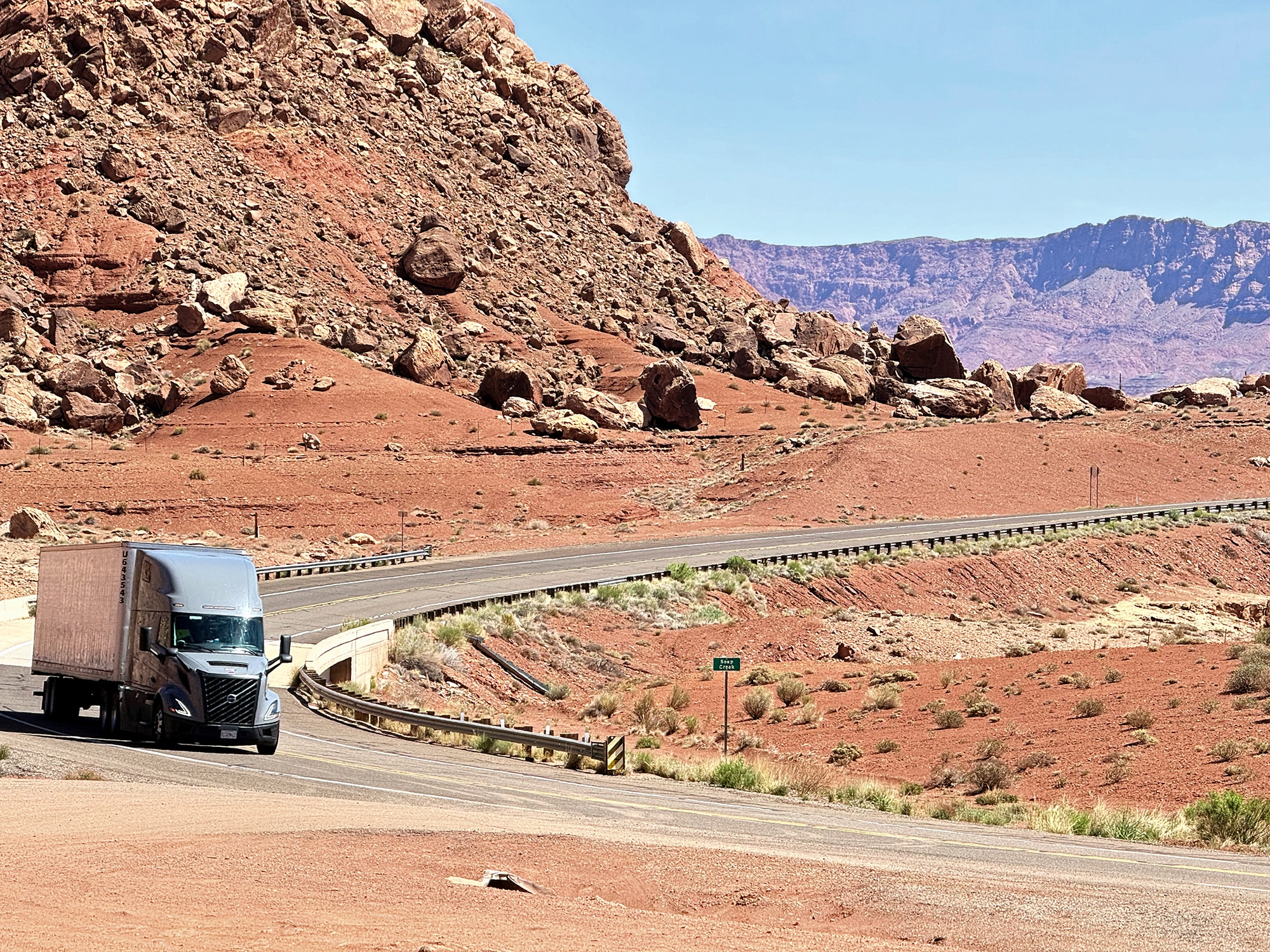
After that spectacular overlook, we headed back down to Bitter Springs to pick up 89A for the duration of this trip. Impressive banks of rock greeted us and the curvy roads made for great photo ops.
The Navajo Bridge
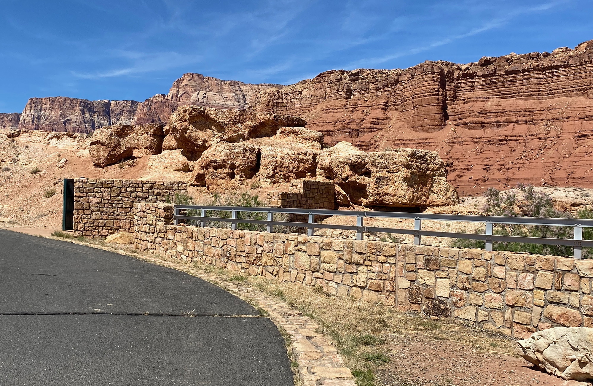
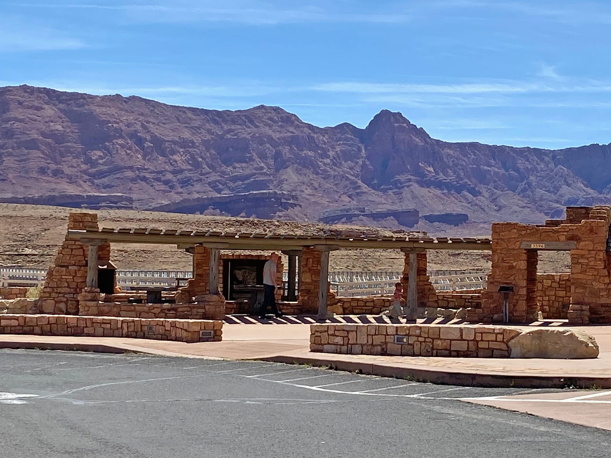
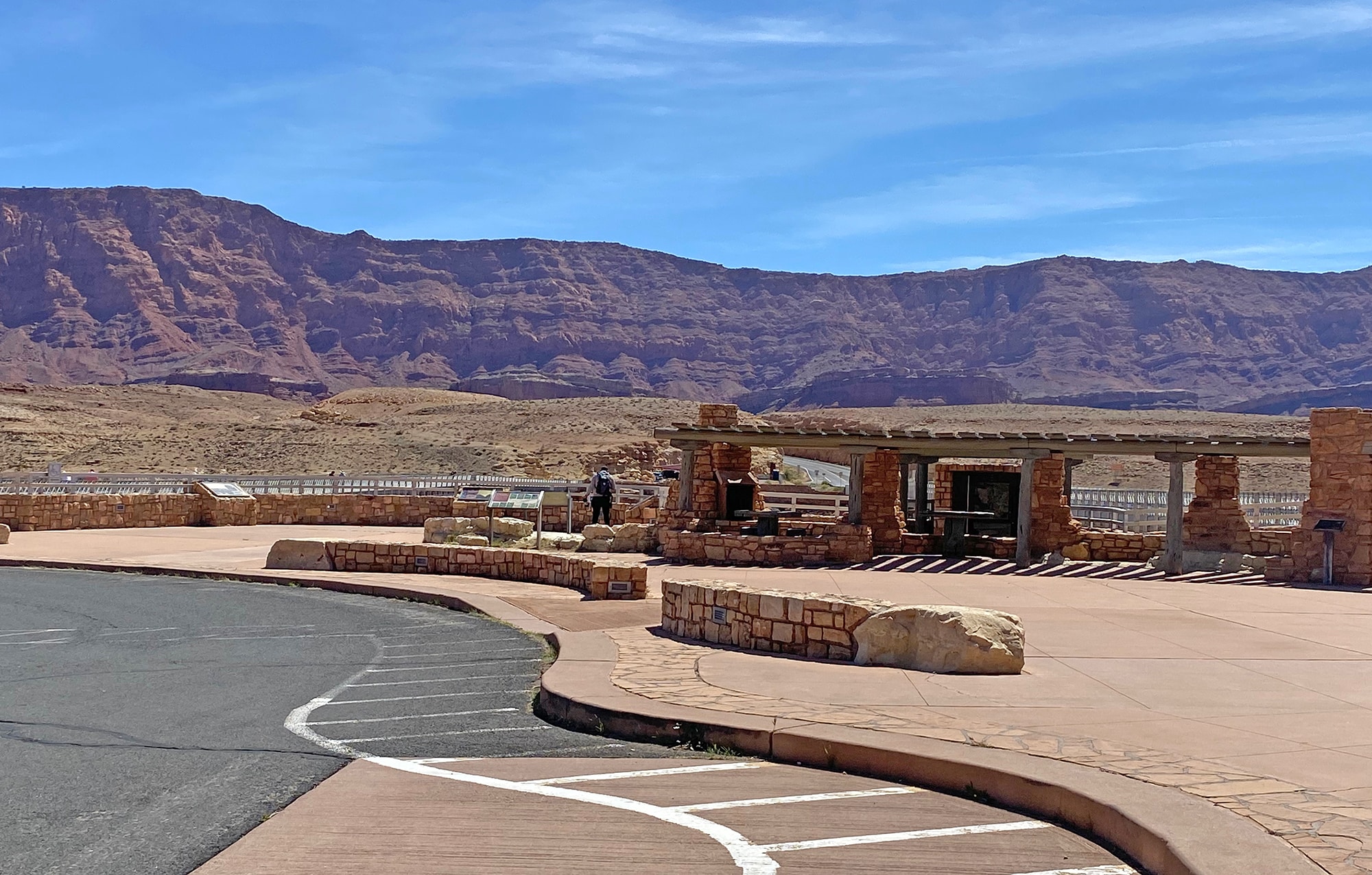
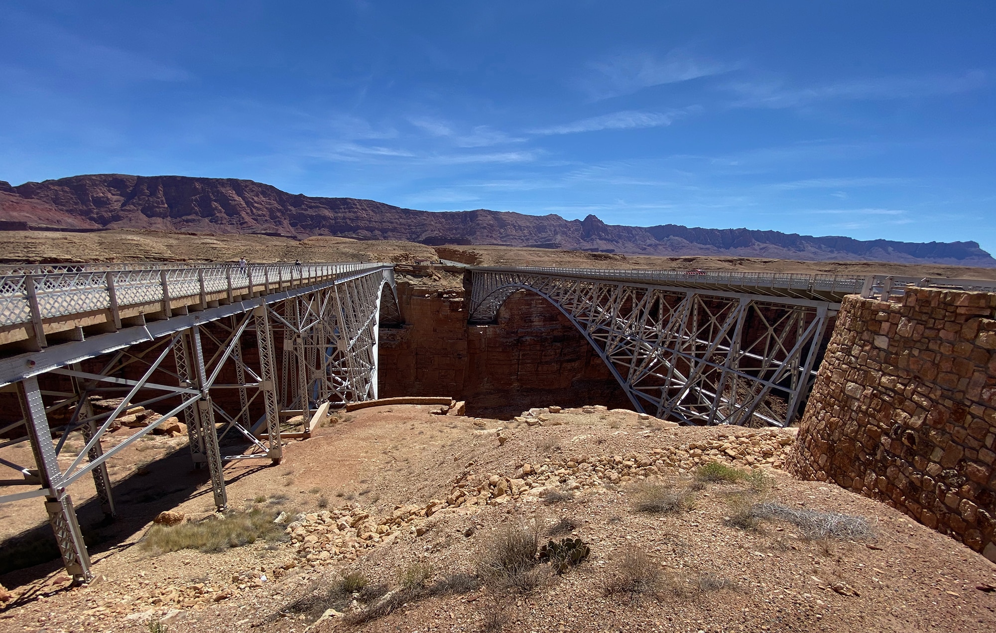
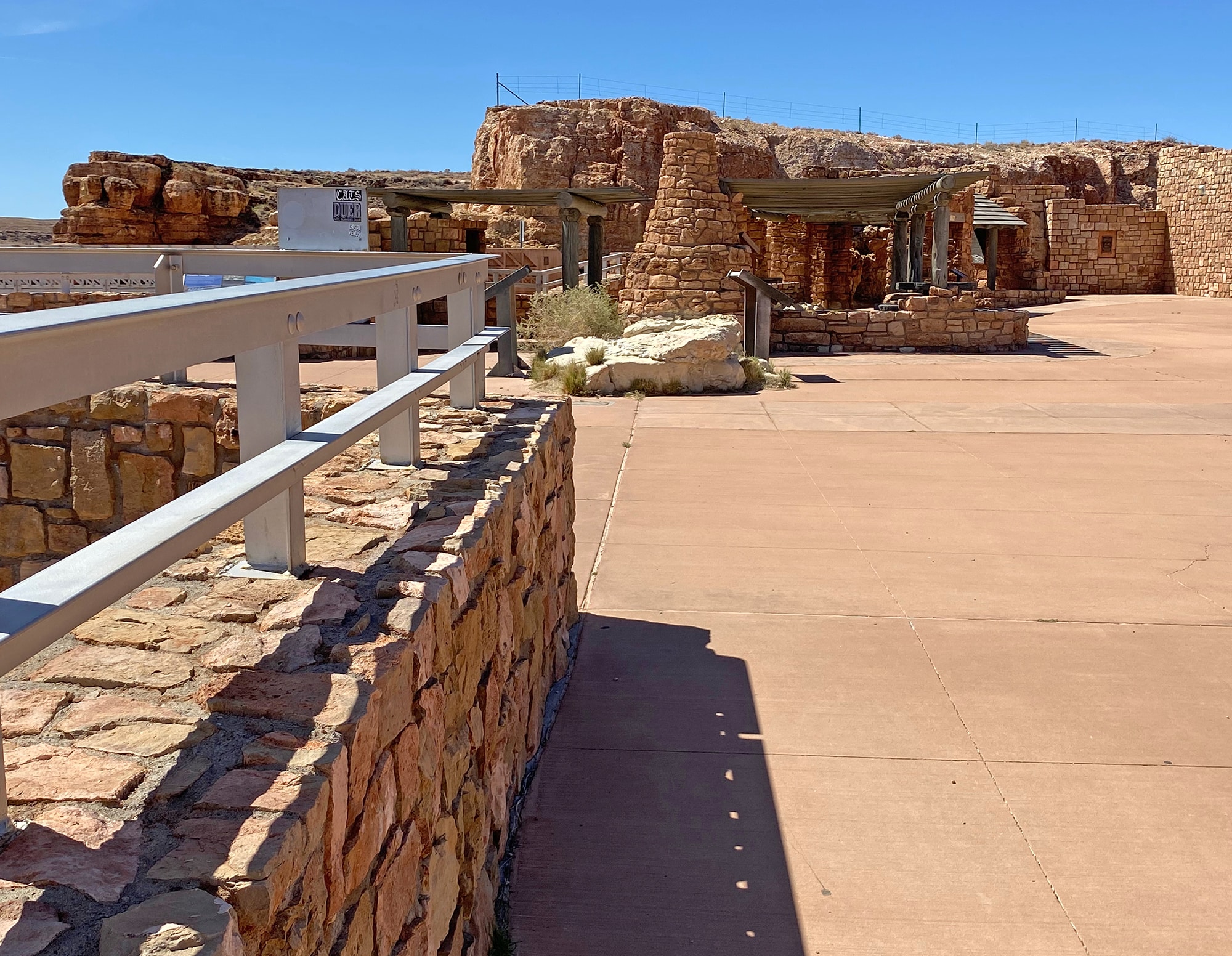
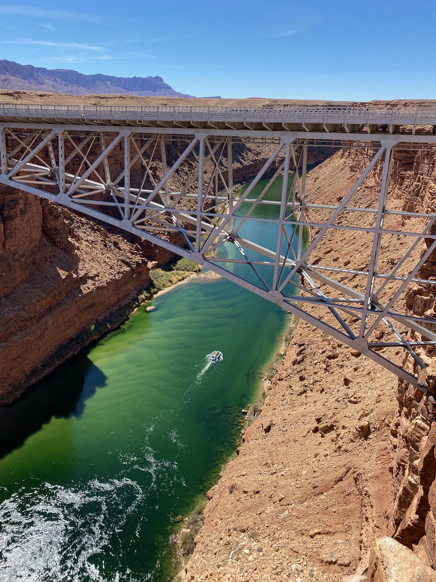
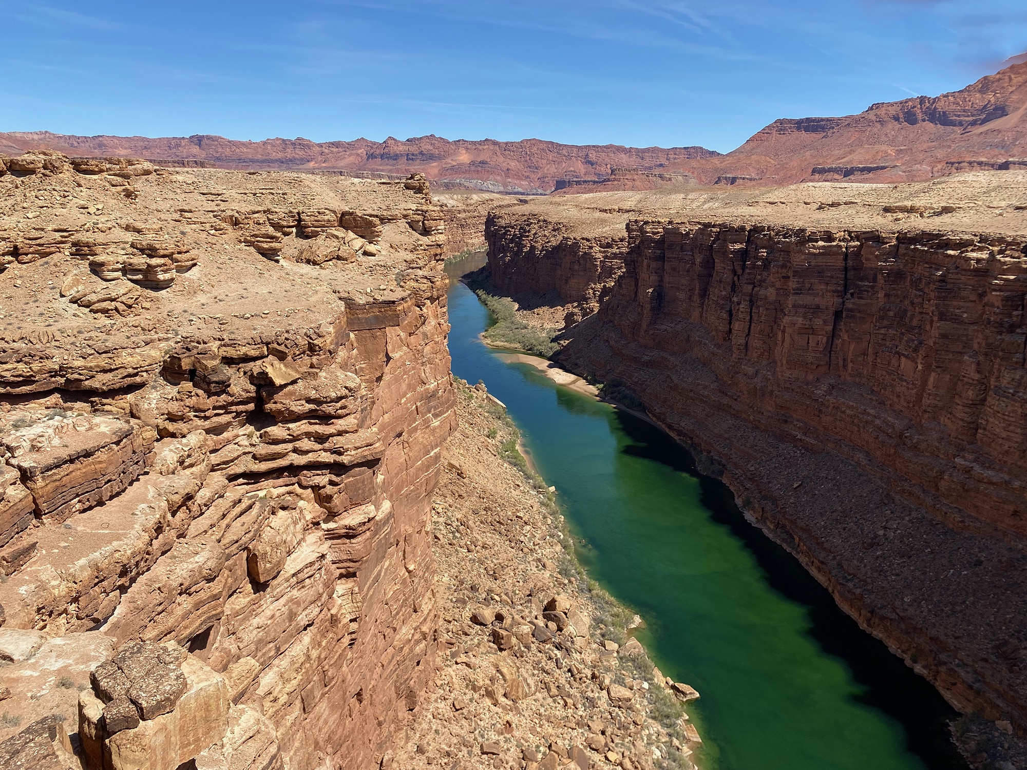
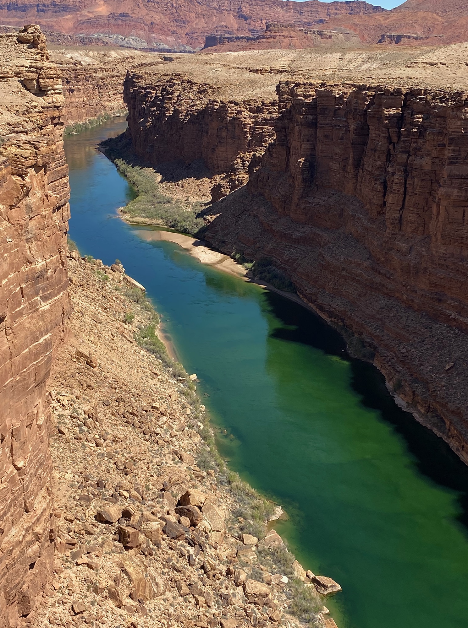
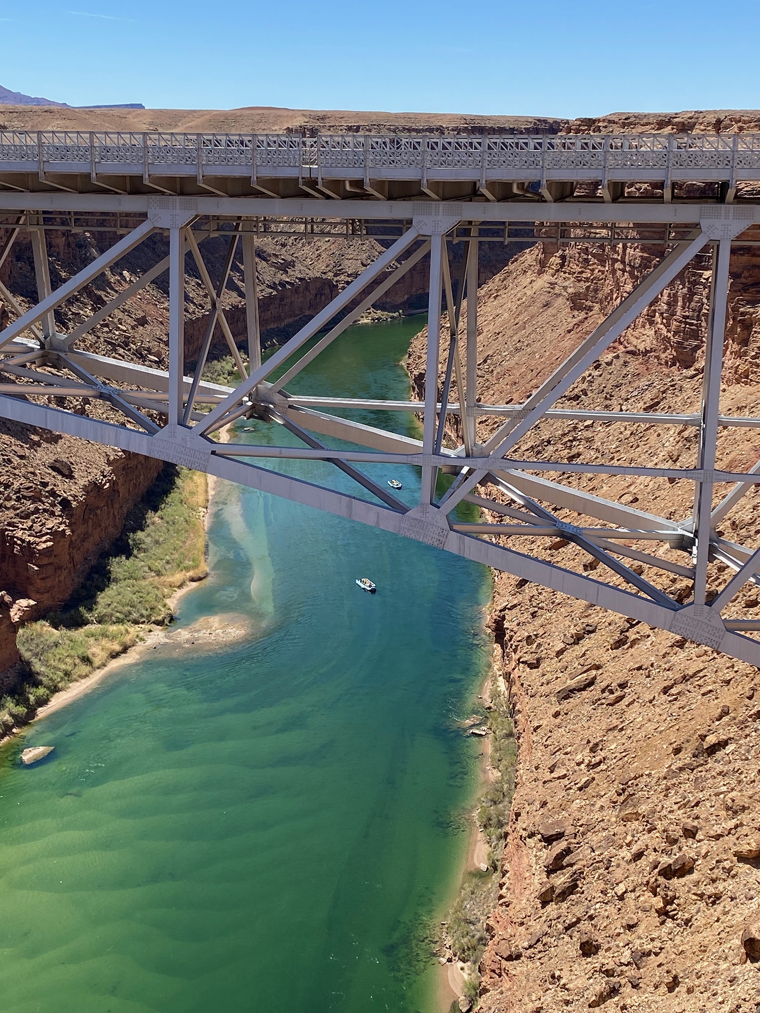
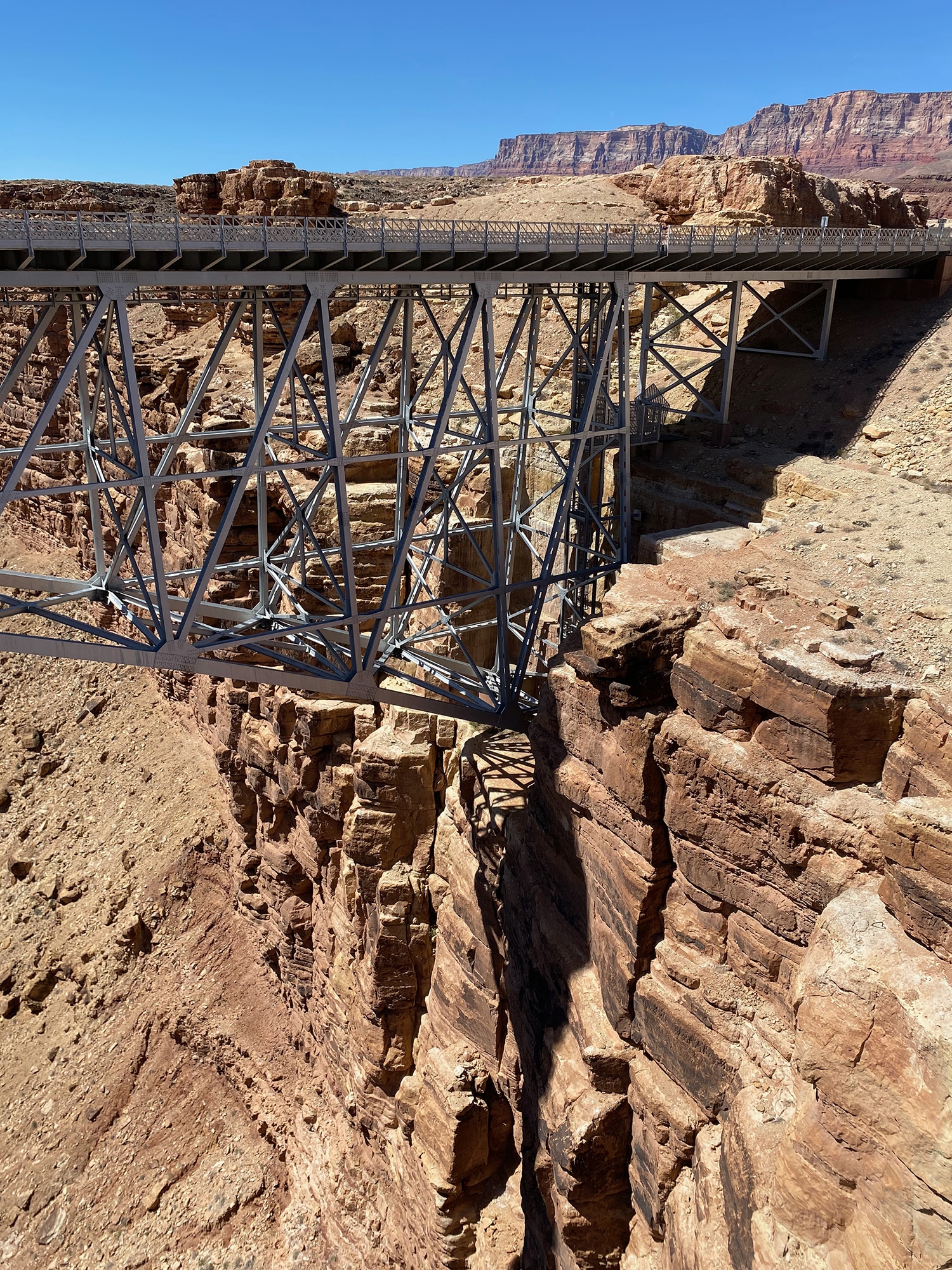
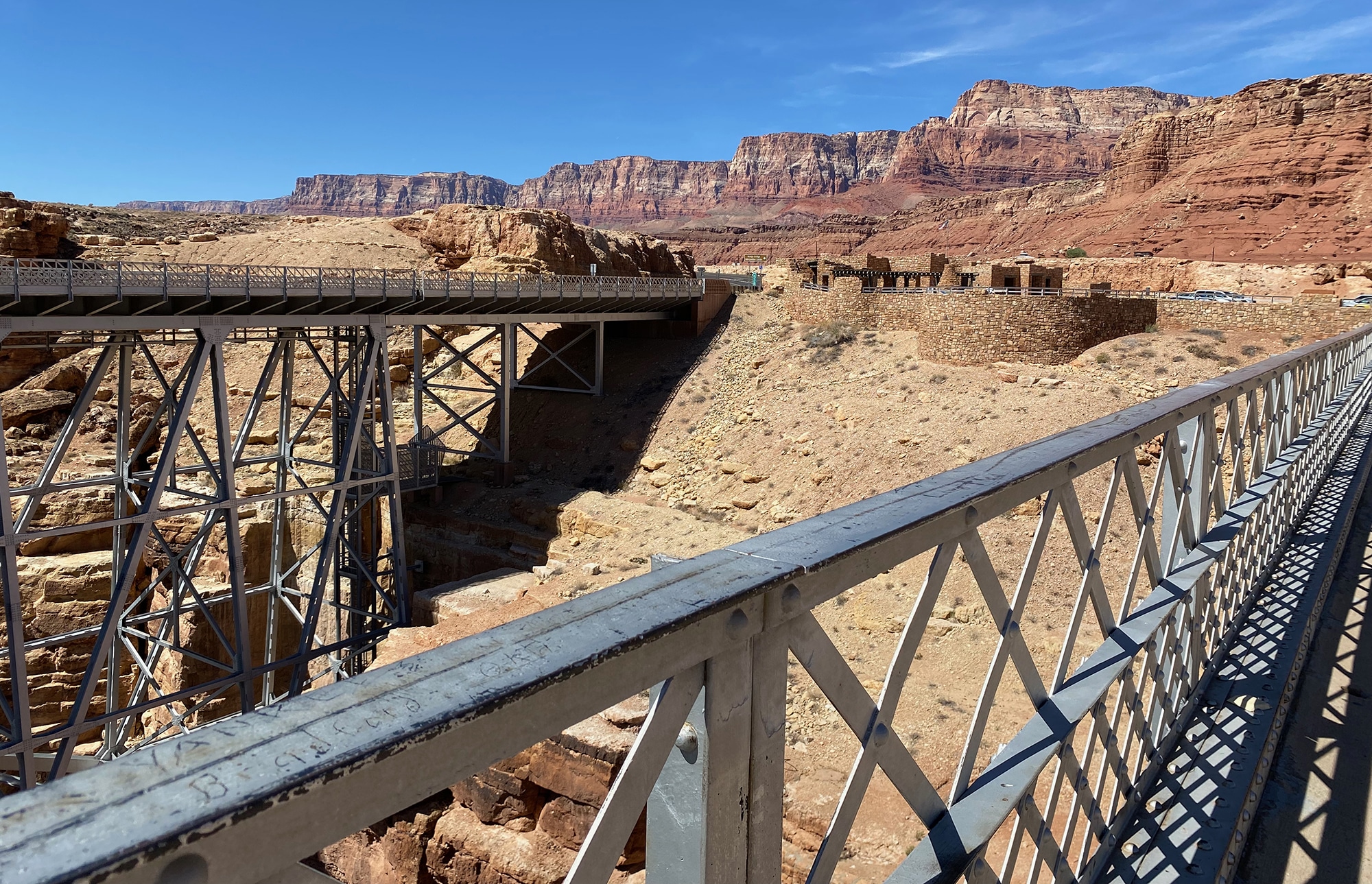
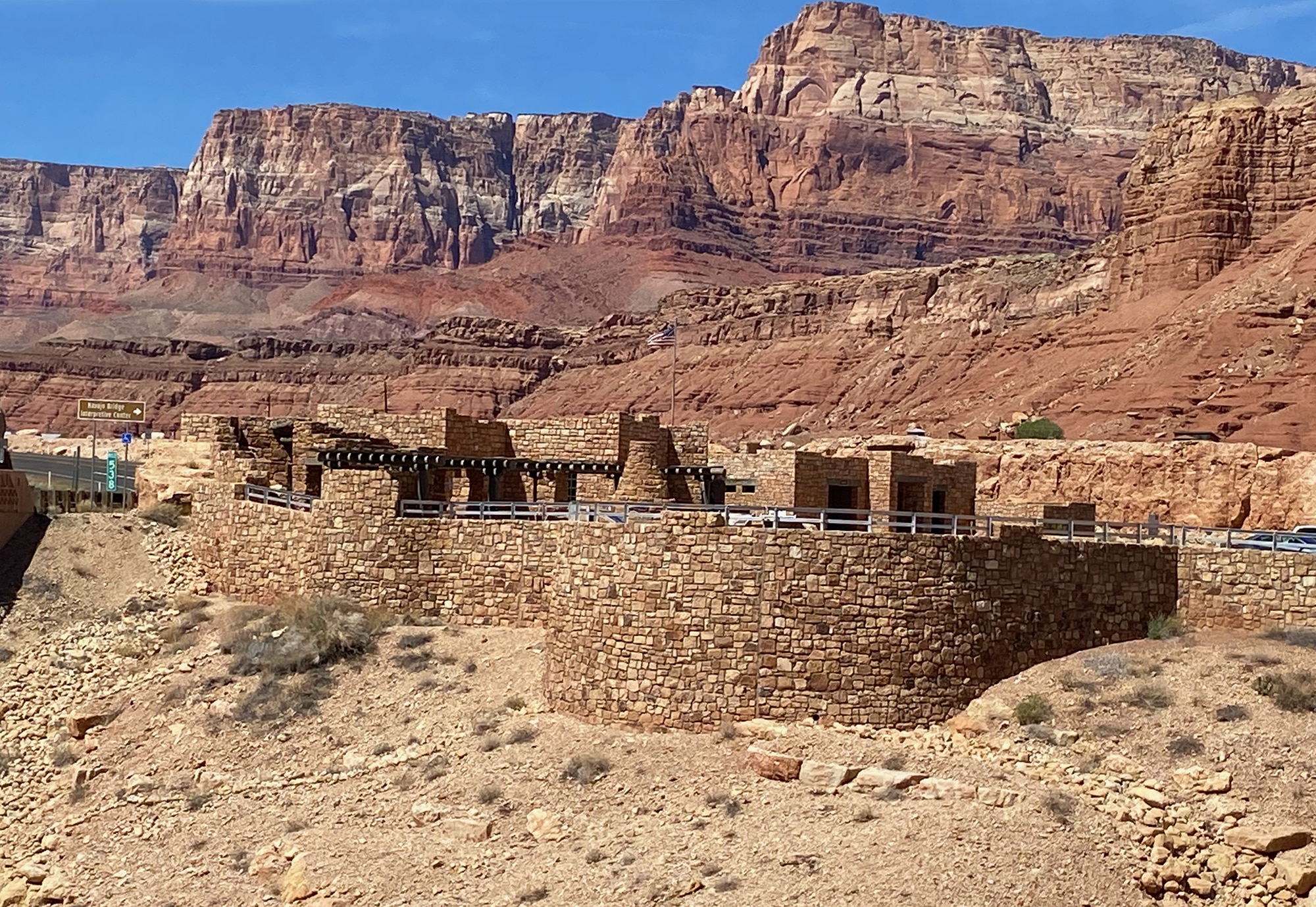
As we got closer to the Colorado River, we were very excited about our next stop. Two bridges that are very similar in appearance span the river and a lovely Visitor Center provides more info and great views. The two bridges (one historic and one new) represent one of only seven land crossings of the Colorado River for 750 miles. The wider, modern Navajo Bridge on the right replaced the historic one on the left – which is now a pedestrian bridge. It was great to walk halfway to get great shots of the Colorado as it disappears into the Canyon.
The Vermillion Cliffs
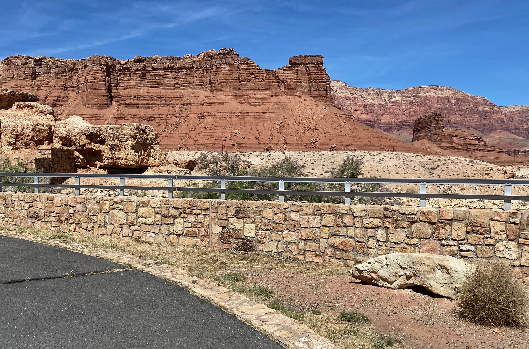
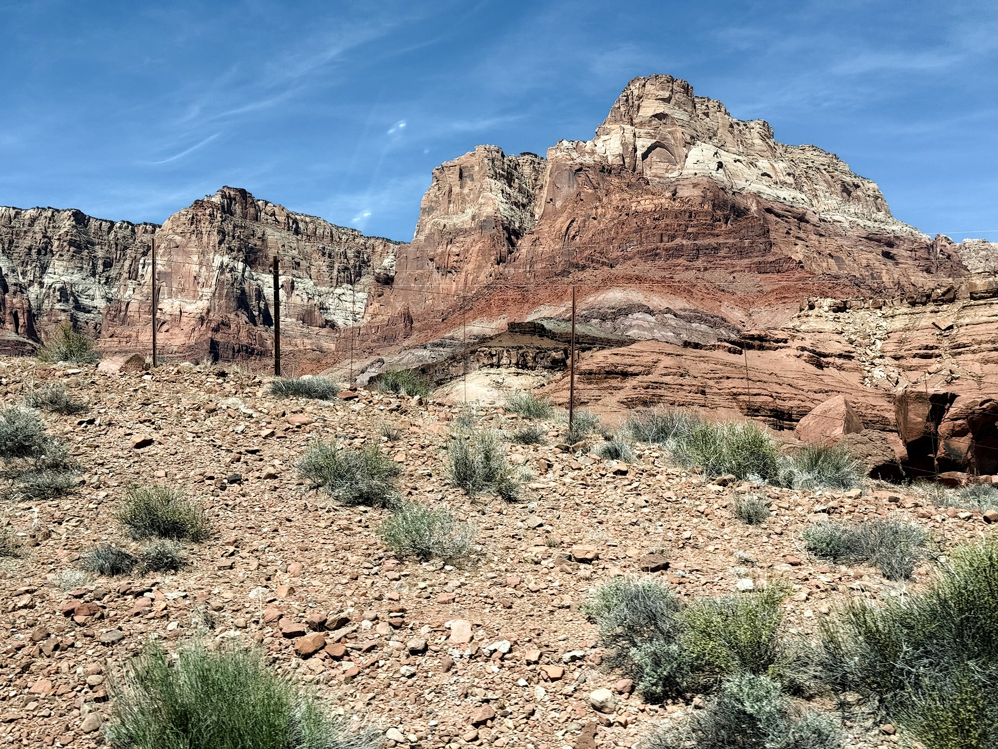
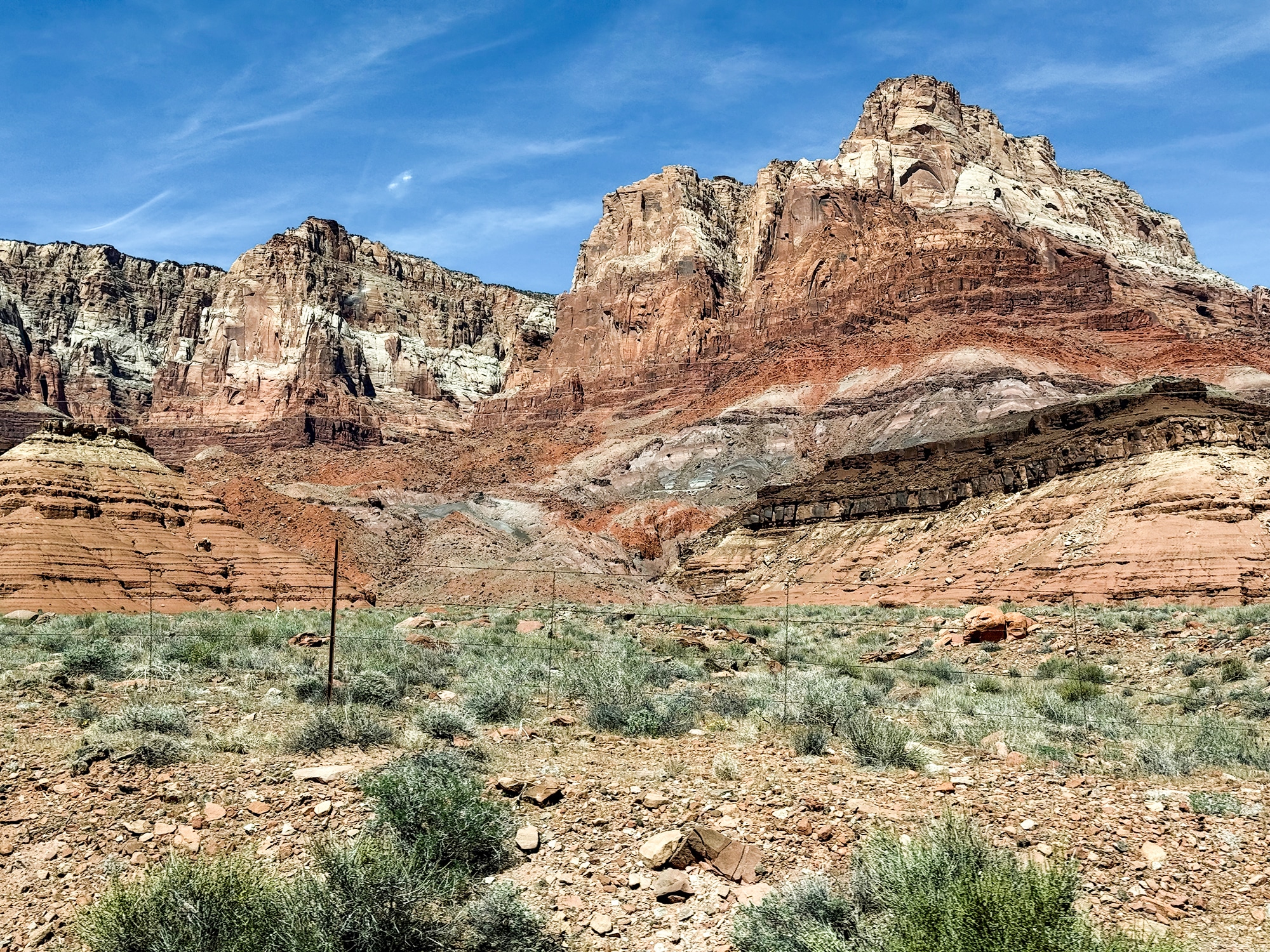
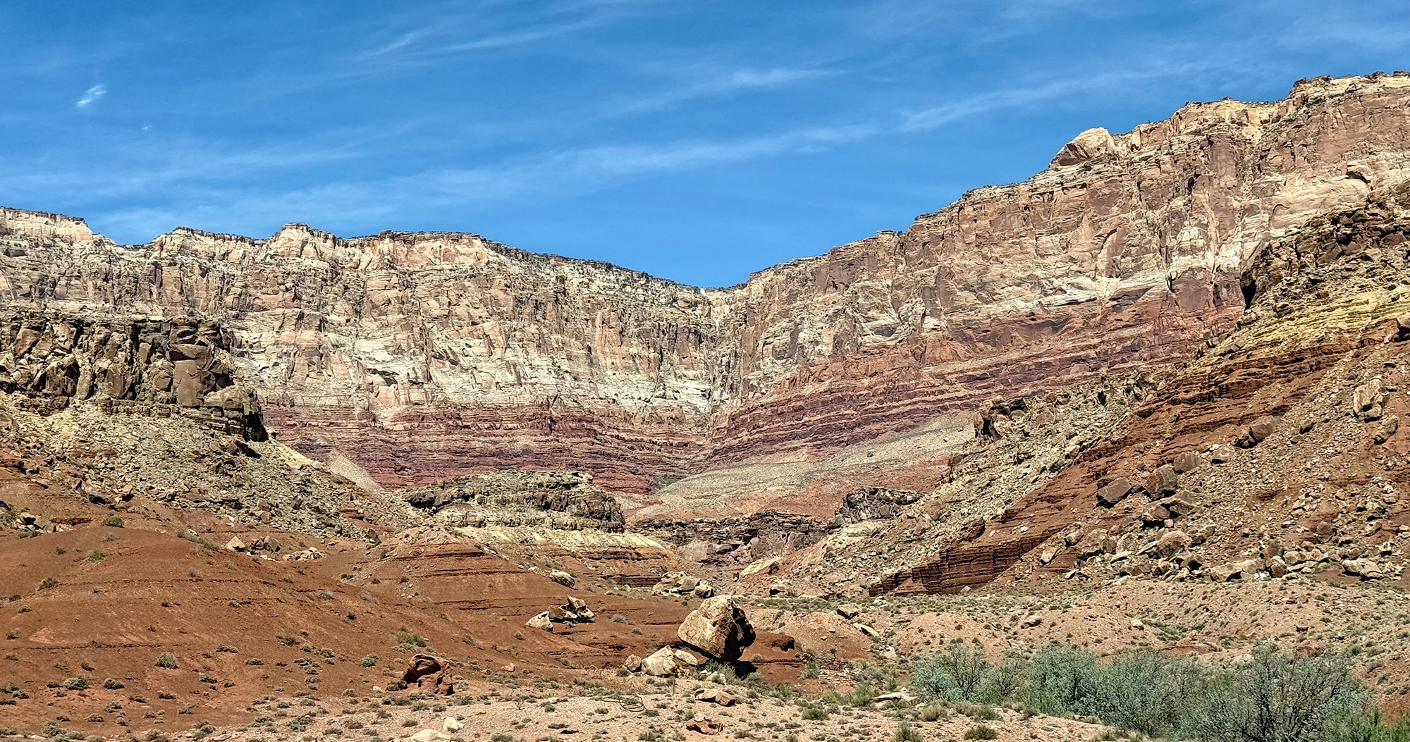
After the bridges, we enjoyed more panoramic views along the Vermillion Cliffs Scenic Byway. Since there was no time for river rafting or exploring the banks of the Colorado River, we did not venture to Lee’s Ferry, although it would have been just a short side trip off the highway.
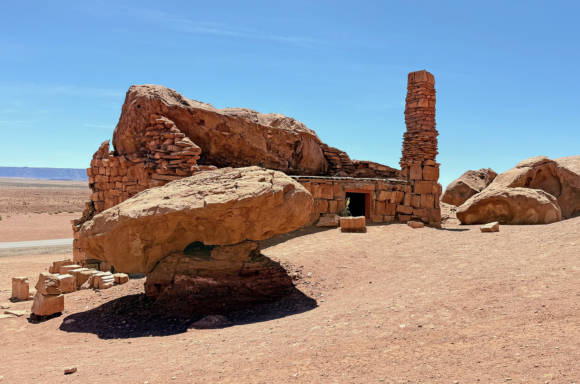
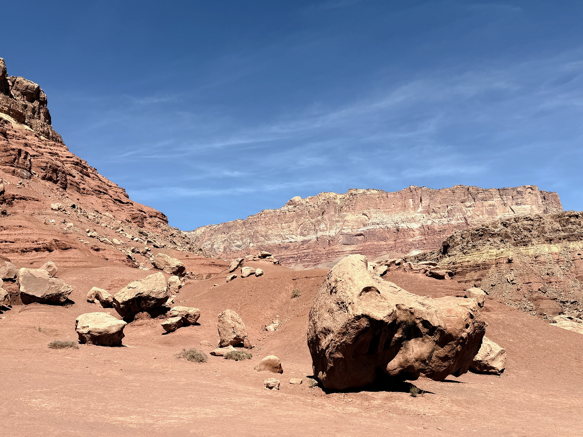
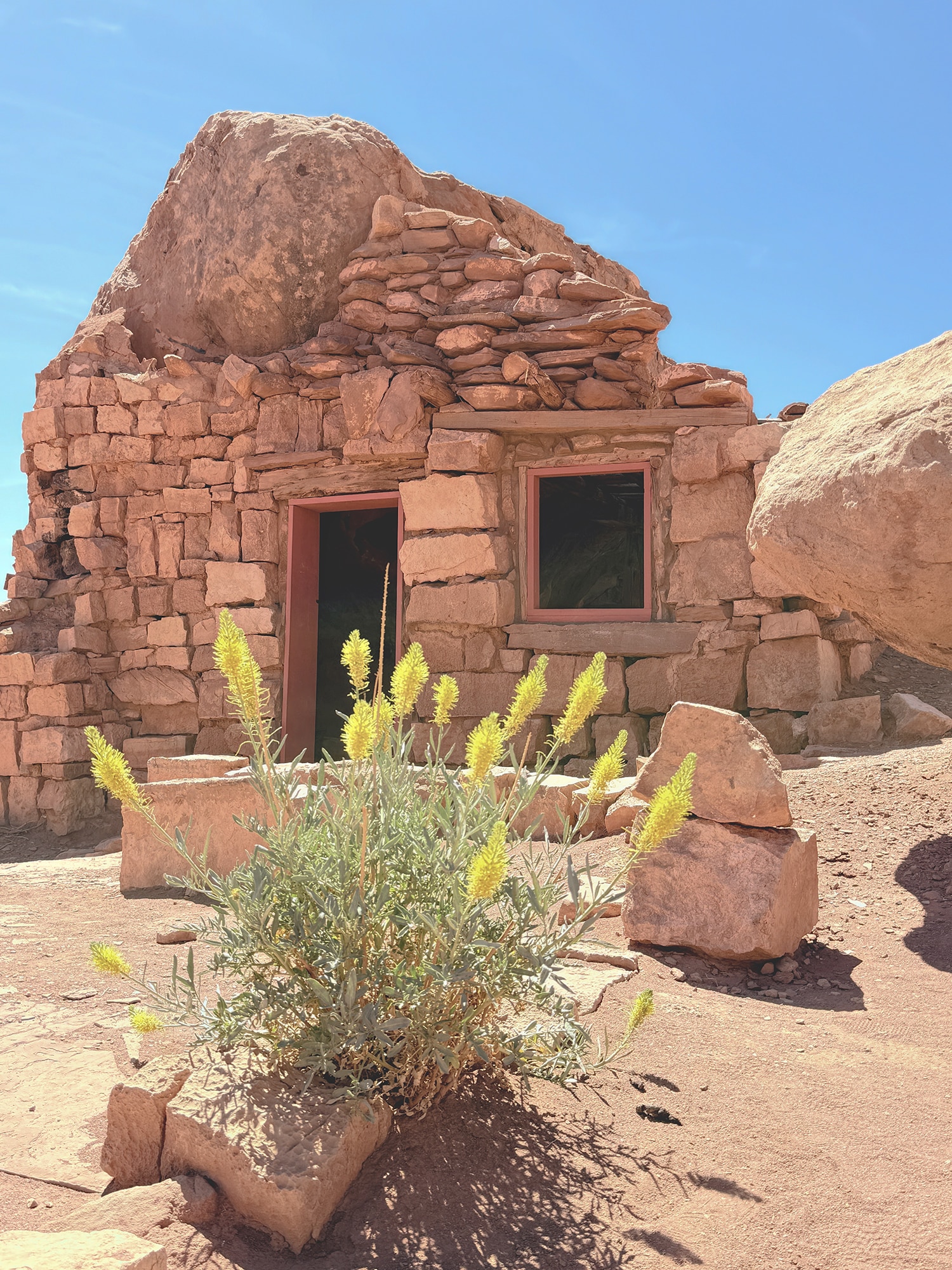
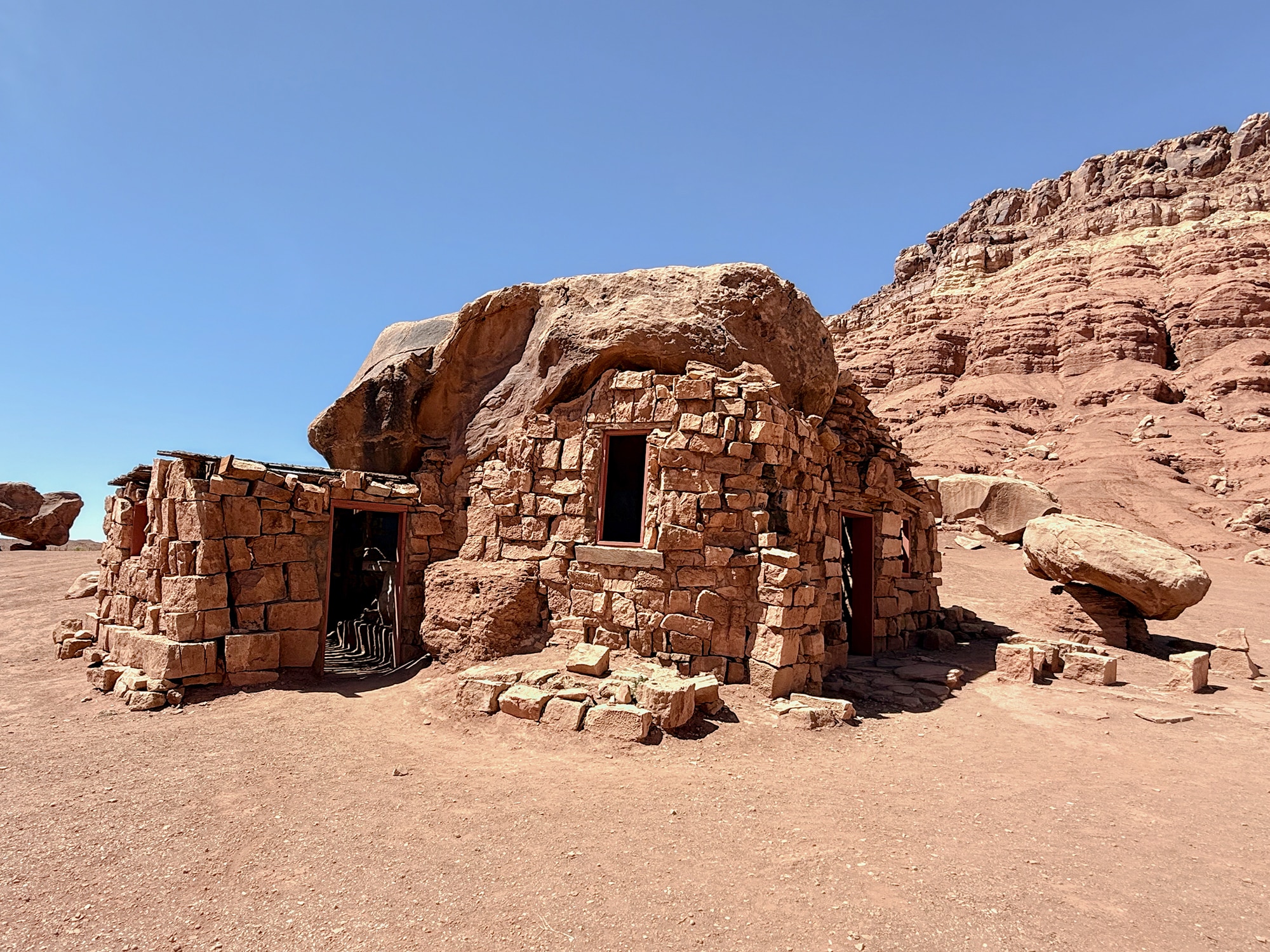
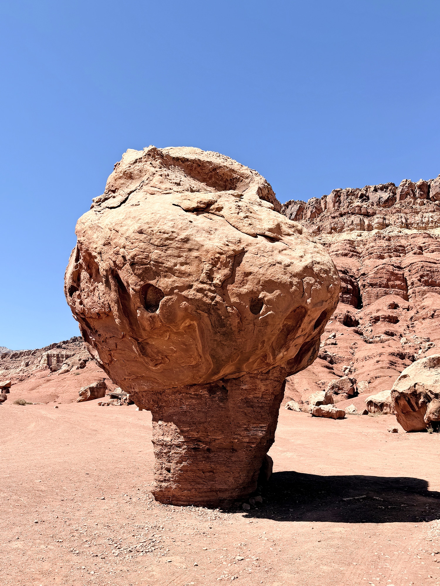
We did make a stop at the Cliff Dwellers Stone House – “a quirky cluster of Depression‑era rock homes tucked beneath giant balanced boulders along US‑89A. The photogenic ruins, framed by Vermilion Cliffs, offer a quick roadside stop for history buffs, photographers, and travelers between Page and the North Rim.”
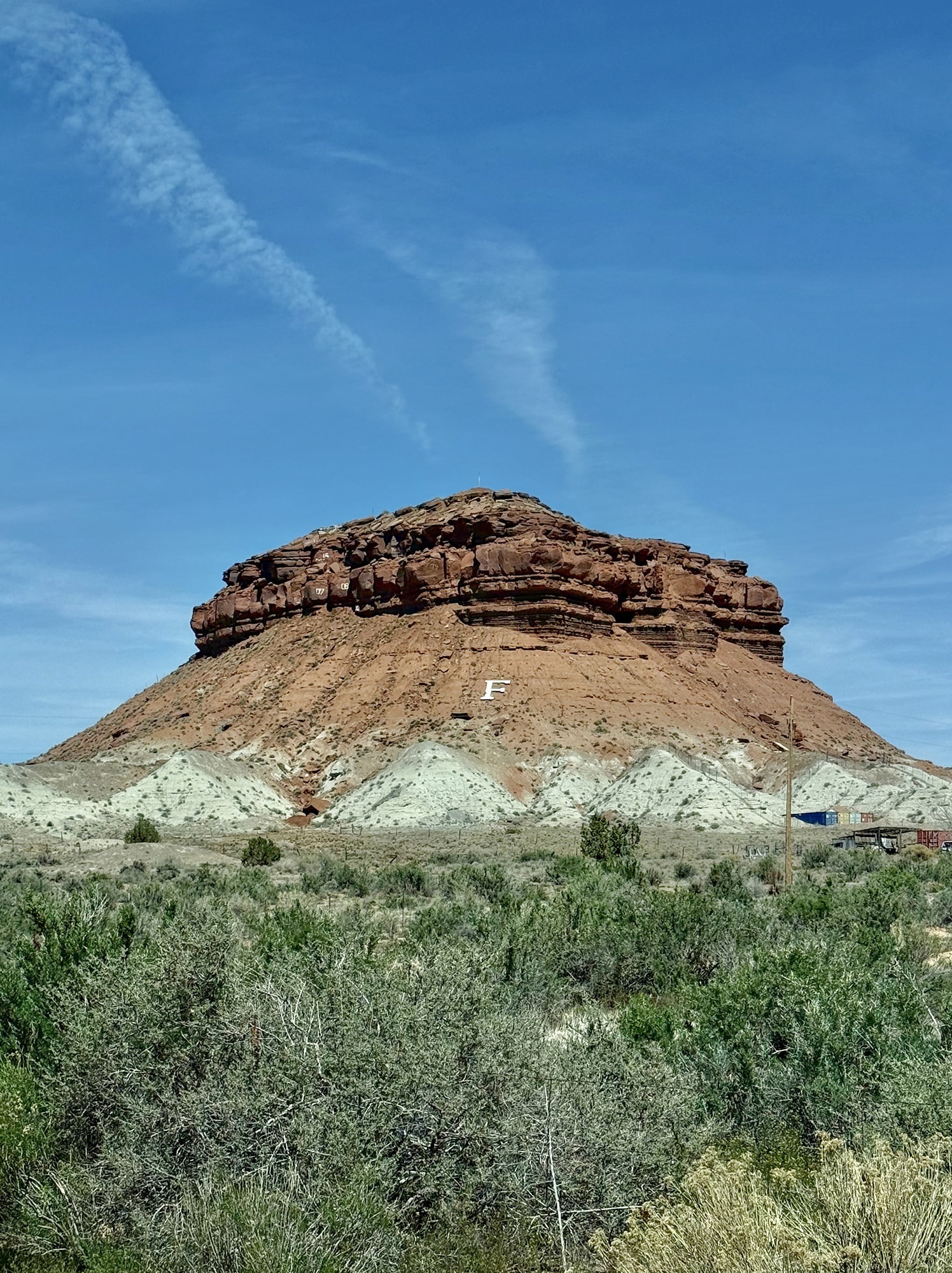
*the last photo of the “F” mountain in Fredonia, should really be after the next grouping for Le Fevre Overlook but, on the laptop version it fit better here. If you have a problem, take it up with the complaint department lol.
Le Fevre Overlook
Vast and spectacular views were before us – making all of the problems of the world seem many, many miles away.
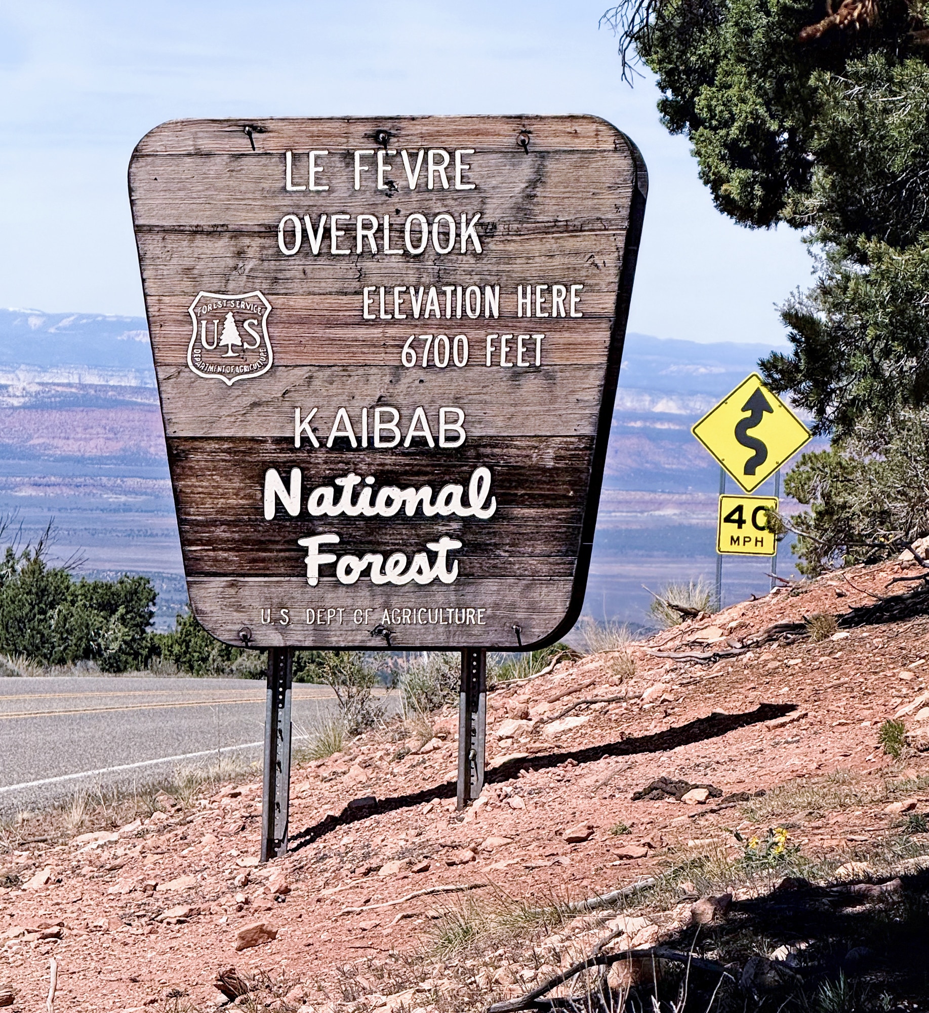
“Perched at roughly 7,100 ft on the Kaibab Plateau, Le Fevre Overlook lets visitors grasp the geologic story linking Bryce Canyon, Zion, and Grand Canyon. The short, fully paved path leads to a CCC‑era stone pavilion framing a 100‑mile vista over the multi-colored cliff’s of Southern Utah. Interpretive displays label each colored cliff band – Pink, White, Gray, Vermilion, and Chocolate – while a coin‑operated viewer brings distant features into focus. No services are provided beyond parking and signage, so bring water and sun protection. The overlook is open year‑round, though winter storms can make US‑89A icy.” ~ READ MORE
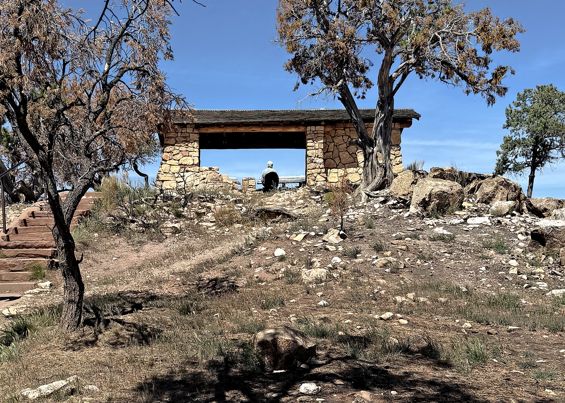
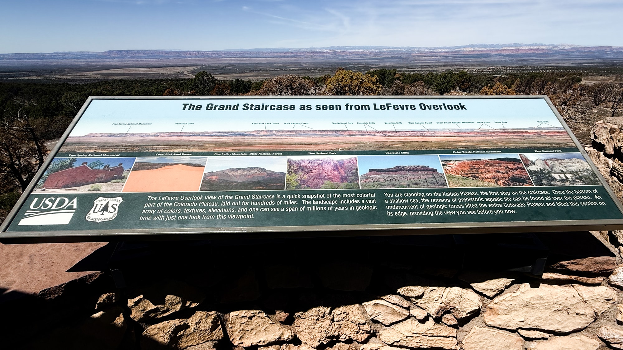
This was an amazing stop! The information panels pointed out where all of the wonders of this area are located right on panoramic photos – including the Grand Staircase Escalante, Coral Pink Sand Dunes (where we’re headed next), Zion, and Bryce. The panels were pretty hard to photograph, so you’ll just have to make a stop here to see them for yourself!
*the Fredonia “F” hill appears after this overlook in the real world lol.
Coral Pink Sand Dunes State Park
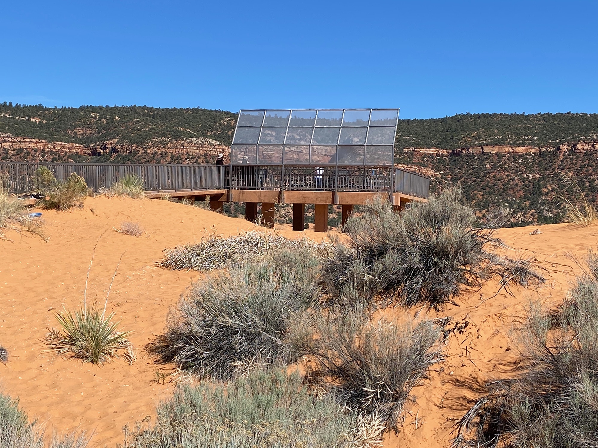
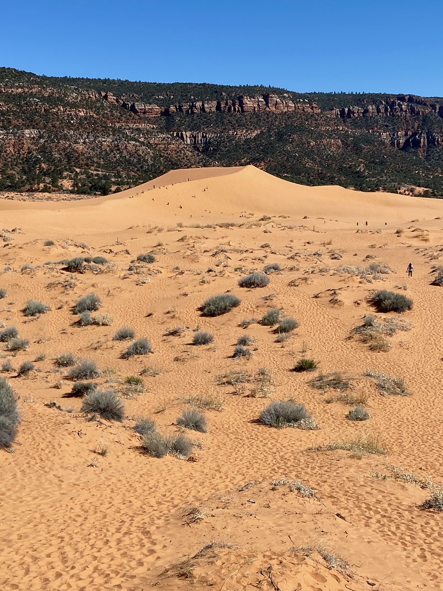
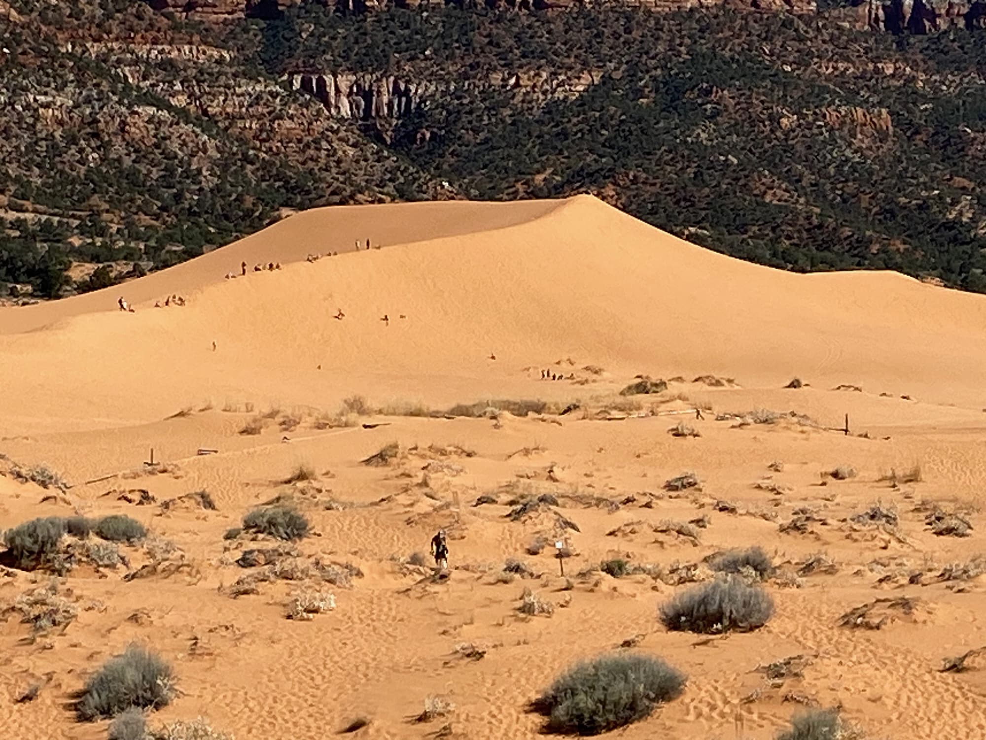
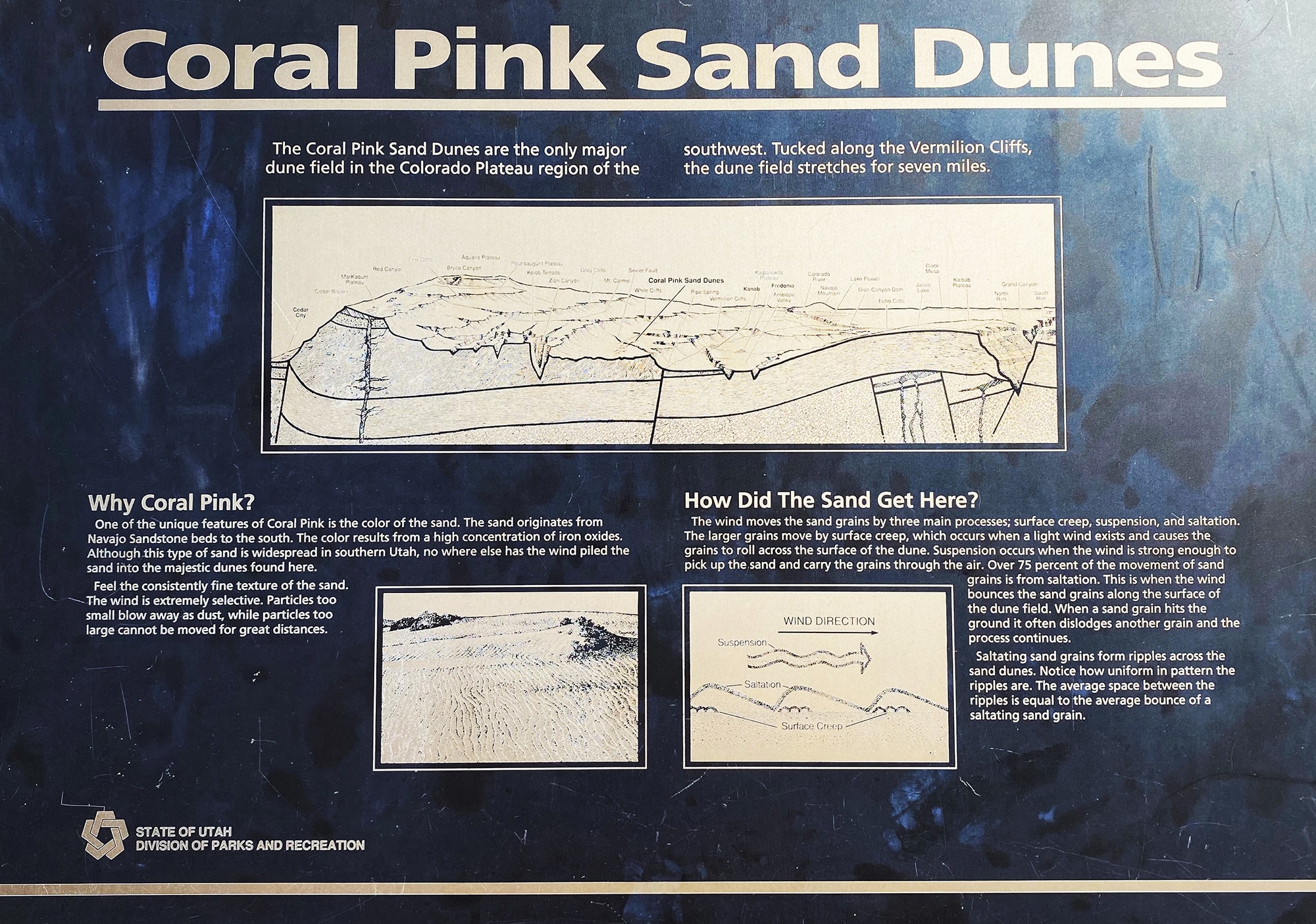
We took a little side trip to the Coral Pink Sand Dunes this afternoon and it was quite impressive! Folks were tobogganing down these bright pink dunes like they were snow hills! I will admit, I liked the weather better here, although I’m not sure I’d like that much sand in my shorts! This park will cost you $15 to enter, but here’s a great video to see all that this state park has to offer.
We Finally Made It!
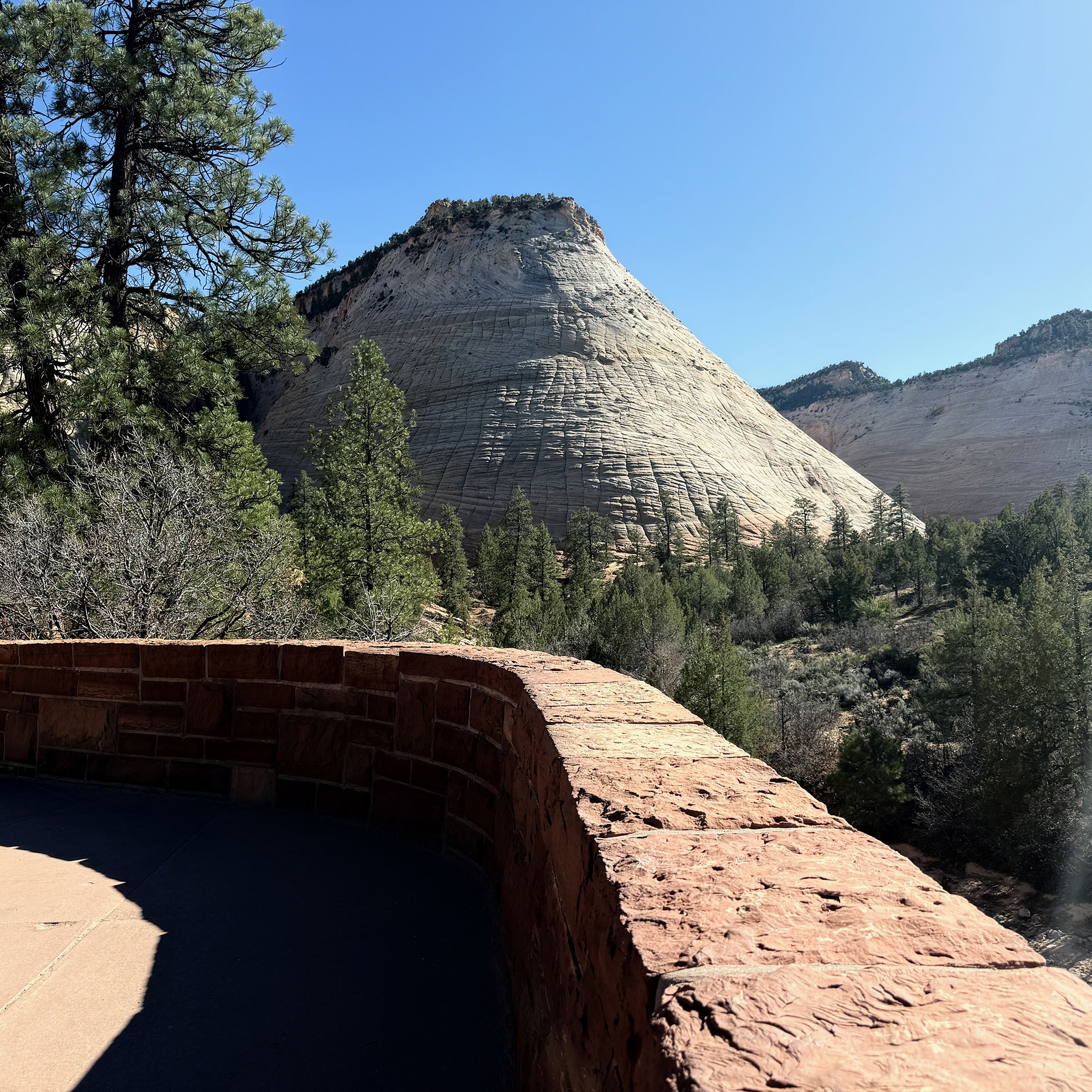
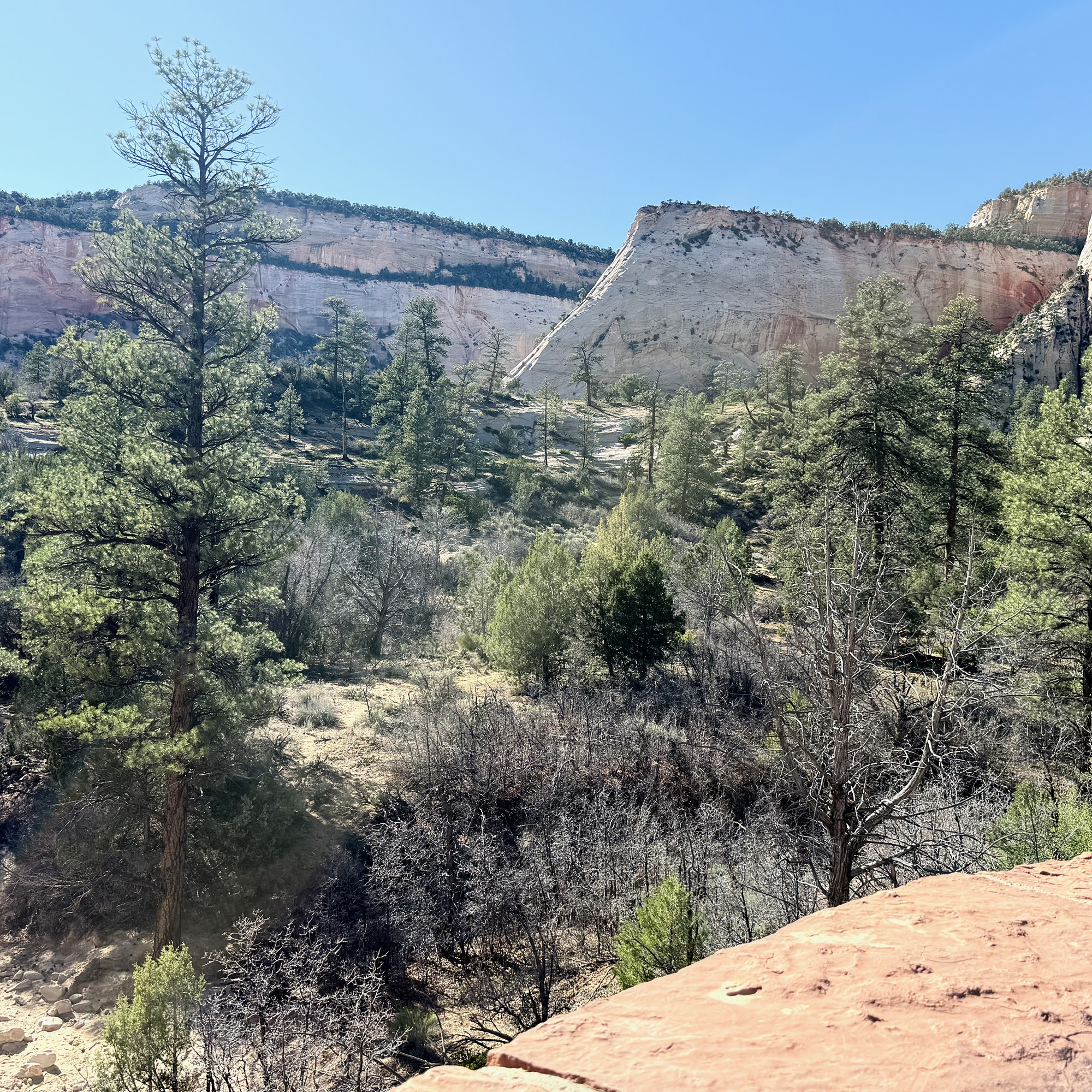
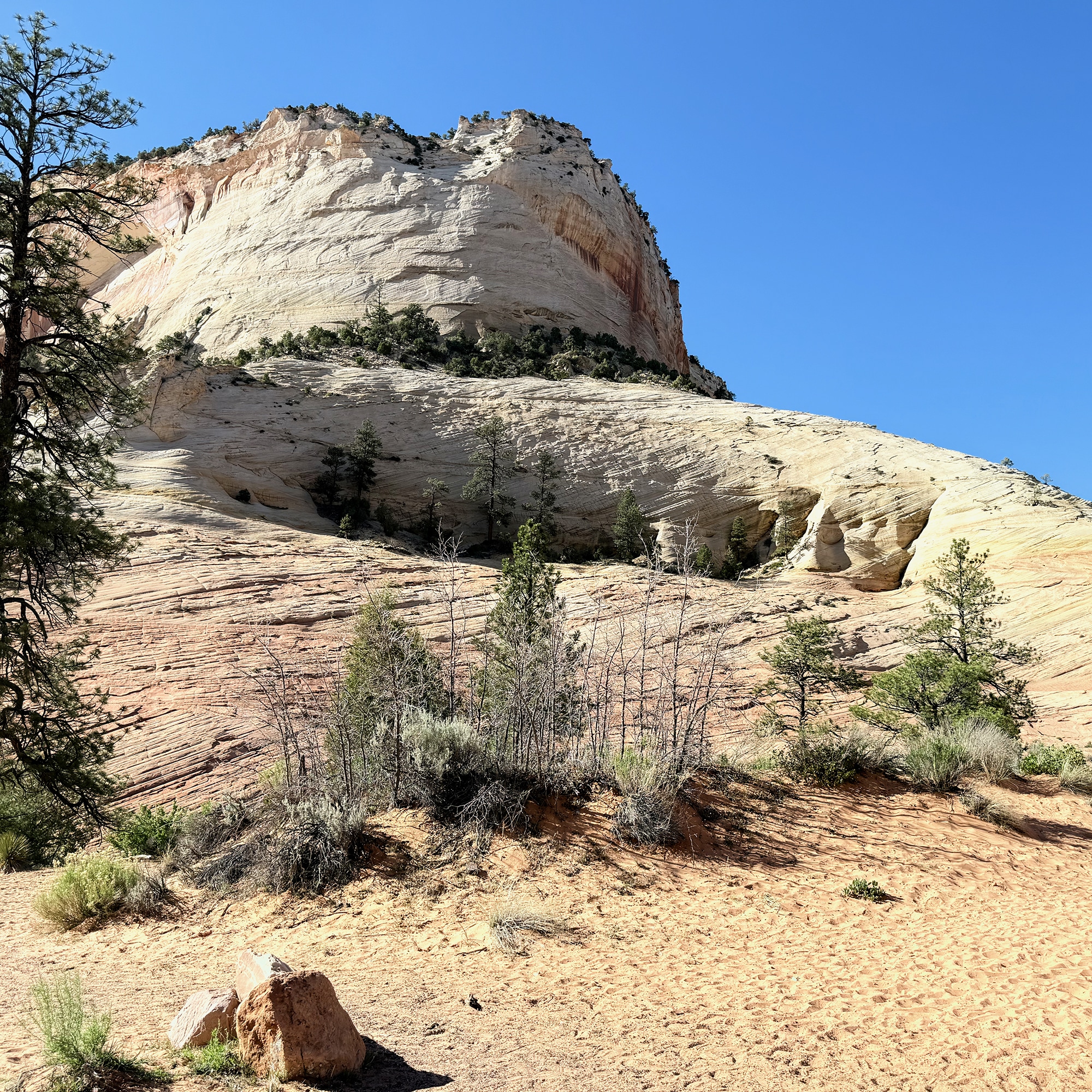
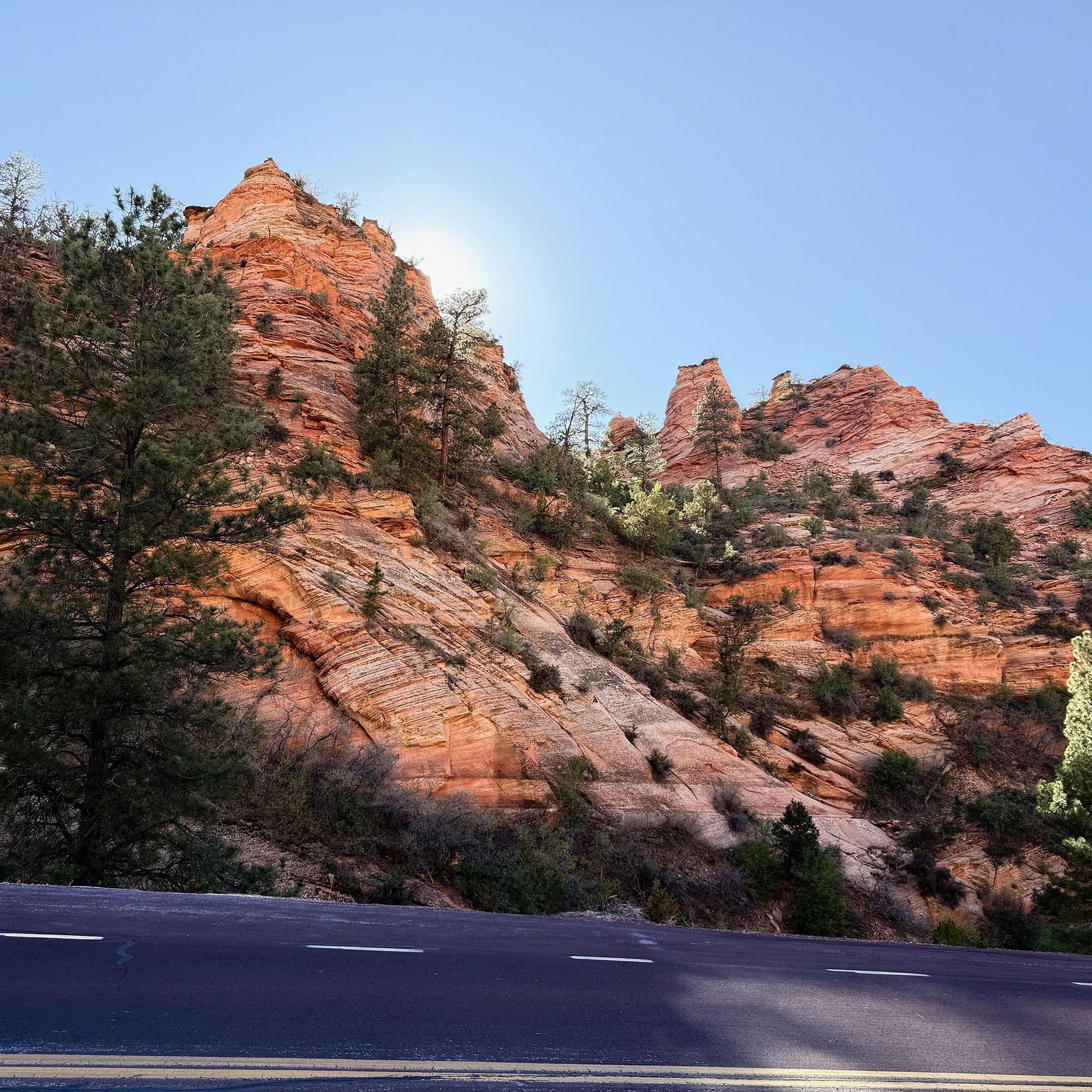
After the Pink Sands, it was back to 89 North. At the Mt. Carmel Junction, we took Hwy 9 West to the Zion National Park East Entrance. Last time we were here, we went into the Park from Springdale, so this was a beautiful drive with stunning scenery and LOTS of curves. One short tunnel, then a really long one added to the awesome. A pullout on the Zion-Mount Carmel Hwy allows viewing with no hiking to the Checkerboard Mesa View Area right here in the eastern section, which was another plus!